Home
States
Colorado
Connecticut
Maine
Massachusetts
New Hampshire
New York
Rhode Island
Utah
Vermont
View All
Lists
NE 4,000 Footers
NE 100 Highest
NH 4,000 Footers
NH 100 Highest
NH 52 With A View
NH Belknap Range
NH Ossipee 10
Links
Trail Conditions
Trip Log
Sunrises
Sunsets
About
|
McCoy Mountain
Epsom, NH
Trailheads, measurements, times, distances, and maps are all approximate and relative to the hike(s) as shown below.
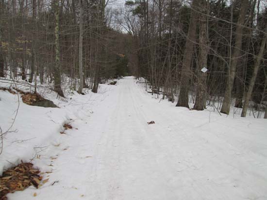
The snowmobile trail on the east side of McCoy Mountain
Route: Fort Mountain snowmobile trail, bushwhack, (McCoy Mountain)
We continued on foot past the Fort Mountain access road onto the snowmobile corridor (Fort Mountain Trail) which shows up as Jeep Trail on USGS maps. While the initial uphill was relatively melted, the rest of our time on the snowmobile trail was on packed spring snow. Snowshoes were ideal.
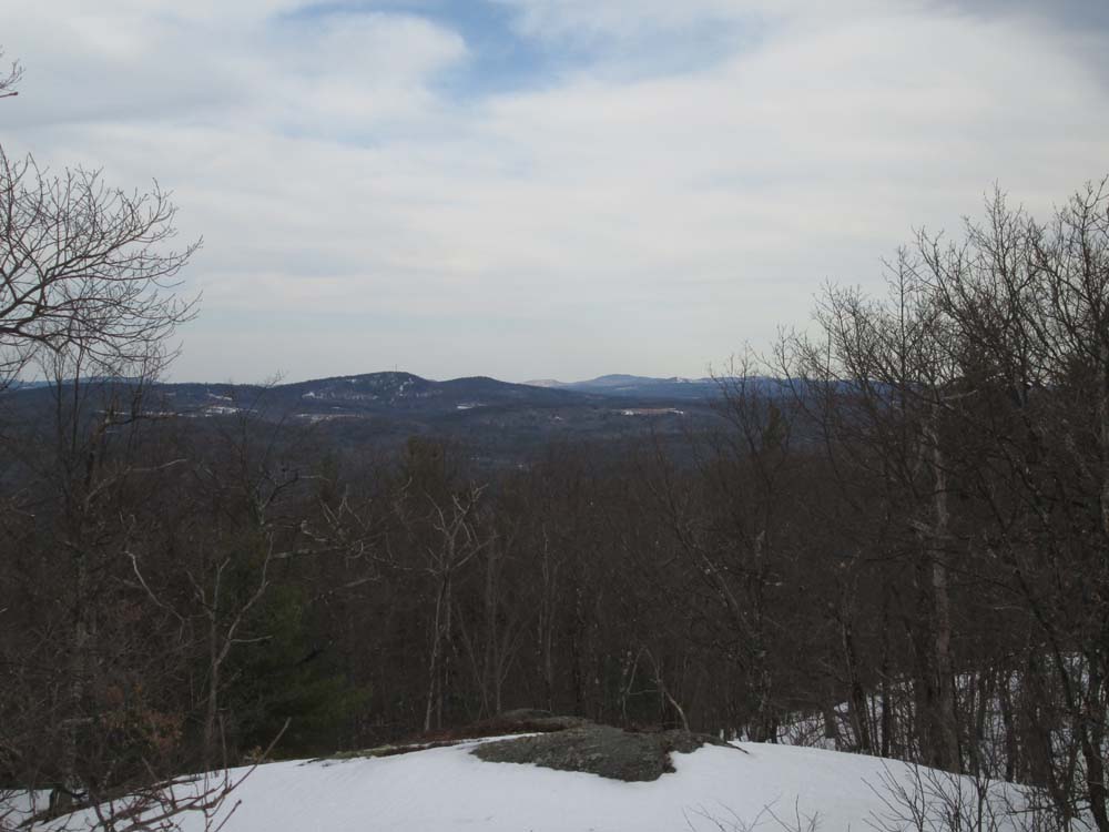
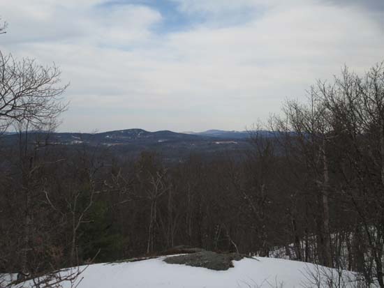
Near the height of land on the trail on the southeastern slope of McCoy Mountain, we bushwhacked in open woods to the summit. Southern facing slopes tended to be bare, but we were able to stay on snow much of the way up (about 1 foot of spring snow, but good flotation with snowshoes). Some hints of a trail or herd path. While the summit is somewhat open, surrounding growth minimizes the views. Nonetheless, we could see Moosilauke, the Belknaps, and Catamount.
We then descended to the southwestern peak, below which had a perch that had a framed view of Fort.
| Hike Ratings |
|
Getting To Trailhead: |
Moderate |
| Destination: |
McCoy Mountain |
|
Length: |
Moderate |
|
Steepness: |
Moderate |
|
Navigation: |
Difficult |
|
Views: |
Excellent |
|
Crowds: |
Minimal |
|
| Hike Stats |
|
Date Hiked: |
Friday, April 3, 2015 |
| Parking Elevation: |
775' |
| Destination: |
Fort Mountain |
| Time Elapsed: |
00:39 |
| Trailhead Elevation: |
775' |
| Summit Elevation: |
1,275' |
| Vertical Gain: |
550' |
|
|
| Hike Time Elapsed: |
01:53 |
| Hike Vertical Gain: |
650' |
|
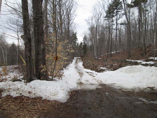
The snowmobile trail continuation of Mountain View Road, just past the Fort Mountain access road entrance
Catamount and Prospect as seen from McCoy Mountain
Directions to trailhead: From US 202 east of Concord, take Route 28 south. Take a left onto Short Falls Road. Bear right at a five way junction onto New Rye Road. Take a left onto Swamp Road. Take a left onto Mountain View Road. Bear right at the next junction, then head around a left curve. The Fort Mountain access road (no vehicles allowed) will be on the right shortly thereafter, with utility poles heading up it. Straight ahead, the snowmobile trail heads toward McCoy Mountain
Back to McCoy Mountain Profile
|