Home
States
Colorado
Connecticut
Maine
Massachusetts
New Hampshire
New York
Rhode Island
Utah
Vermont
View All
Lists
NE 4,000 Footers
NE 100 Highest
NH 4,000 Footers
NH 100 Highest
NH 52 With A View
NH Belknap Range
NH Ossipee 10
Links
Trail Conditions
Trip Log
Sunrises
Sunsets
About
|
Middle Mountain, Peaked Mountain
Conway, NH
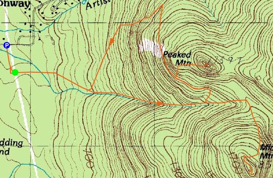
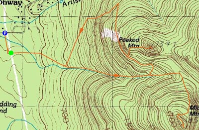
Trailheads, measurements, times, distances, and maps are all approximate and relative to the hike(s) as shown below.
Middle Mountain Trail to Middle Mountain
With winter apparently over, I took to the trails after work on Friday. Blue skies and 70 degree temperatures made for excellent hiking weather.
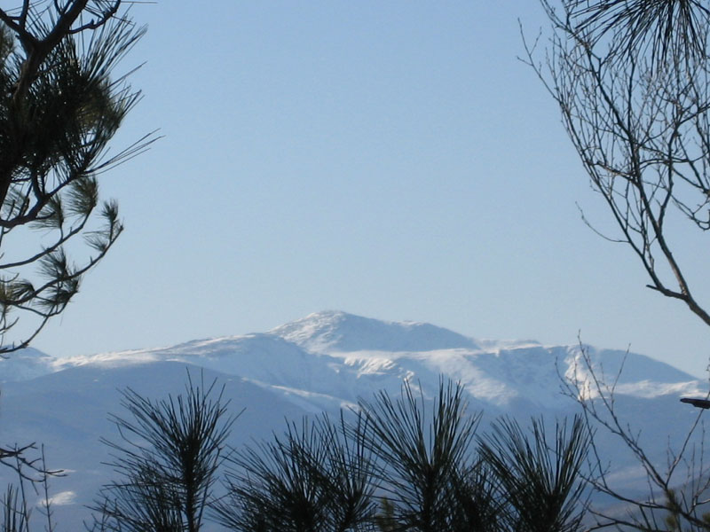
After finding the trail (the 'snow fence' description from the area brochure is key, as there are two trails that seem to depart from the kiosk), I started up a slightly muddy trail. A few hundred vertical feet up, things changed quickly - it was now winter and there was very little recent activity on the Middle Mountain trail. Wearing shorts and hiking boots, this was a wet experience - a few knee deep post holes (including a terrible one where the snow gave way into possible knee deep water - cold!). Lots of cursing aside, I was able to finally summit Middle Mountain and take in the views, ranging from southeast into Maine to west northwest toward Crawford Notch. Mt. Washington was also visible, through some trees.
Realizing I was about as wet as I could possibly be, I decided I didn't have much to lose, and thus ascended up the submerged Peaked Mountain Trail. Things dried out near the top (as there was too much snow to allow for pooled water), and the summit featured some nice cliff views in similar directions to those off Middle Mountain.
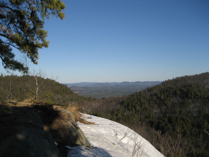
I then descended down the Peaked Mountain Trail - what a scenic trail! Though extremely wet, the views of the Presidentials almost made it worthwhile.
All in all, a very wet hike. I'm not planning to do this one again anytime soon - that is, until the snow melts and the trails dry up a bit. After that? Possibly a nice sunset hike.
| Hike Ratings |
|
Getting To Trailhead: |
Easy |
| Destination: |
Middle Mountain |
|
Length: |
Moderate |
|
Steepness: |
Moderate |
|
Navigation: |
Easy |
|
Views: |
Excellent |
|
Crowds: |
Minimal |
| Destination: |
Peaked Mountain |
|
Length: |
Moderate |
|
Steepness: |
Moderate |
|
Navigation: |
Easy |
|
Views: |
Excellent |
|
Crowds: |
Minimal |
|
| Hike Stats |
|
Date Hiked: |
Friday, April 20, 2007 |
| Hike Commenced: |
3:54 PM |
| Parking Elevation: |
535' |
| Destination: |
Middle Mountain |
| Ascent Commenced: |
3:59 PM |
| Summit Reached: |
5:05 PM |
| Time Elapsed: |
01:06 |
| Trailhead Elevation: |
545' |
| Summit Elevation: |
1,857' |
| Vertical Gain: |
1,342' |
| Destination: |
Peaked Mountain |
| Ascent Commenced: |
5:11 PM |
| Summit Reached: |
6:03 PM |
| Time Elapsed: |
00:52 |
| Trailhead Elevation: |
1,857' |
| Summit Elevation: |
1,739' |
| Vertical Gain: |
474' |
|
|
| Hike Ended: |
7:19 PM |
| Hike Time Elapsed: |
03:25 |
| Hike Vertical Gain: |
1,916' |
|
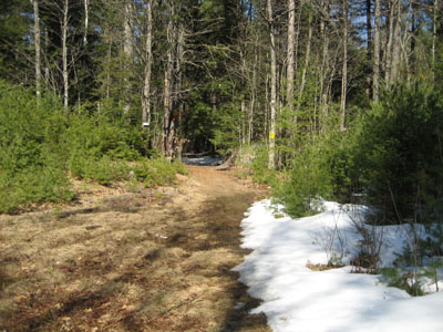
Middle Mountain Trail trailhead under the power lines

Looking northwest at Mt. Washington from near the Middle Mountain summit
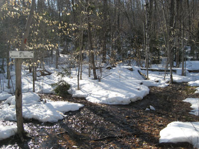
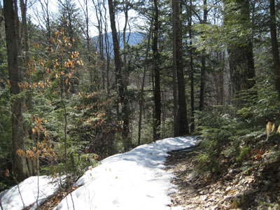
Second Peaked Mountain Trail intersection on Middle Mountain Trail
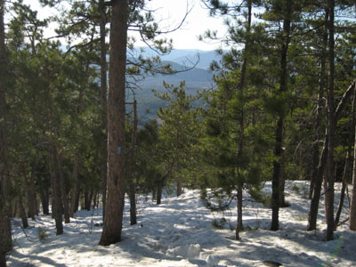
Looking down the Peaked Mountain Trail from near the Peaked Mountain summit

Looking southeast into Maine from Peaked Mountain

Directions to trailhead: From Routes 16/302 in North Conway, take Artist Falls Road past the railroad tracks. Take a right onto Thompson Road. A small Town of Conway/Pudding Pond Conservation Area signed parking lot will be on the right shortly thereafter.
Back to Middle Mountain Profile
Back to Peaked Mountain Profile
|