Home
States
Colorado
Connecticut
Maine
Massachusetts
New Hampshire
New York
Rhode Island
Utah
Vermont
View All
Lists
NE 4,000 Footers
NE 100 Highest
NH 4,000 Footers
NH 100 Highest
NH 52 With A View
NH Belknap Range
NH Ossipee 10
Links
Trail Conditions
Trip Log
Sunrises
Sunsets
About
|
Middle Mountain
Shelburne, NH
Trailheads, measurements, times, distances, and maps are all approximate and relative to the hike(s) as shown below.
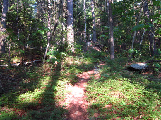
The Gates Brook Trail
Route: Gates Brook Trail, Middle Mountain Trail, Gates Brook Trail, Yellow Trail
Hybrid jog-hike in very hot (mid to upper 90s) weather. Grassy trail in upper elevations, complete with ticks. End to end on Gates Brook Trail, only to summits on Middle Mountain and Yellow trails.
| Hike Ratings |
|
Getting To Trailhead: |
Moderate |
| Destination: |
Middle Mountain |
|
Length: |
Moderate |
|
Steepness: |
Difficult |
|
Navigation: |
Moderate |
|
Views: |
Excellent |
|
Crowds: |
Minimal |
| Destination: |
Mt. Crag |
|
Length: |
Moderate |
|
Steepness: |
Difficult |
|
Navigation: |
Easy |
|
Views: |
Excellent |
|
Crowds: |
Minimal |
|
| Hike Stats |
|
Date Hiked: |
Thursday, June 21, 2012 |
| Parking Elevation: |
750' |
| Destination: |
Middle Mountain |
| Time Elapsed: |
01:02 |
| Trailhead Elevation: |
750' |
| Summit Elevation: |
2,009' |
| Vertical Gain: |
1,559' |
| Destination: |
Mt. Crag |
| Time Elapsed: |
00:34 |
| Trailhead Elevation: |
2,009' |
| Summit Elevation: |
1,412' |
| Vertical Gain: |
452' |
|
|
| Hike Time Elapsed: |
02:00 |
| Hike Vertical Gain: |
2,011' |
|
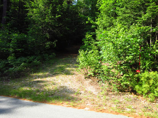
The Gates Brook Trail trailhead

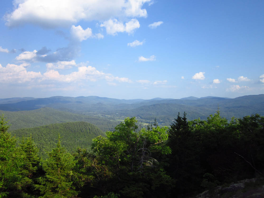
Looking into Maine from Middle Mountain
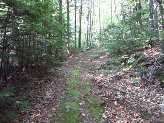
The Yellow Trail to Mt. Crag

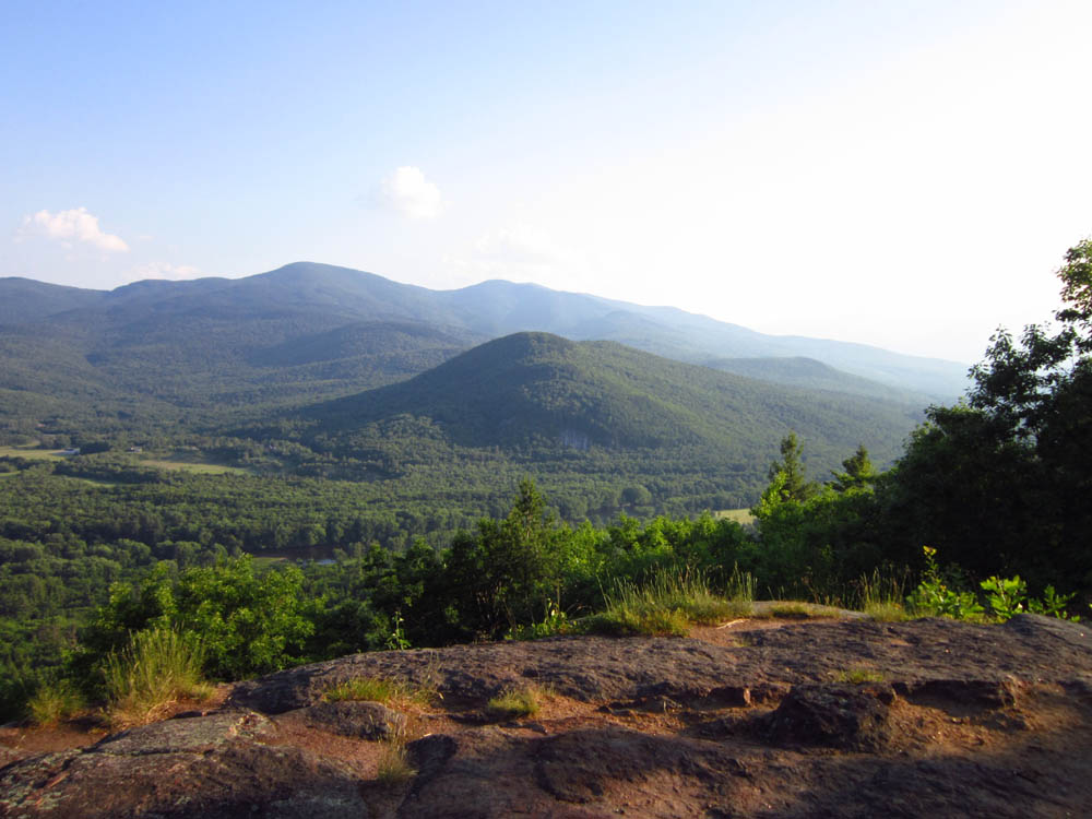
Looking at Mt. Moriah from Mt. Crag
Directions to trailhead: Take US 2 East of Gorham, take a left onto North Road. The Gates Brook Trail trailhead will eventually be on the left, adjacent to a red quasi-hydrant. There is a pull off for parking just past it, on the right.
Back to Middle Mountain Profile
Back to Mt. Crag Profile
|