Home
States
Colorado
Connecticut
Maine
Massachusetts
New Hampshire
New York
Rhode Island
Utah
Vermont
View All
Lists
NE 4,000 Footers
NE 100 Highest
NH 4,000 Footers
NH 100 Highest
NH 52 With A View
NH Belknap Range
NH Ossipee 10
Links
Trail Conditions
Trip Log
Sunrises
Sunsets
About
|
Middle Mountain
Shelburne, NH
Trailheads, measurements, times, distances, and maps are all approximate and relative to the hike(s) as shown below.
The Middle Mountain Trail
Route: Peabody Brook Trail, Middle Mountain Trail
Peabody Brook Trail is basically a woods road up to the trail junction - dry and in good shape.
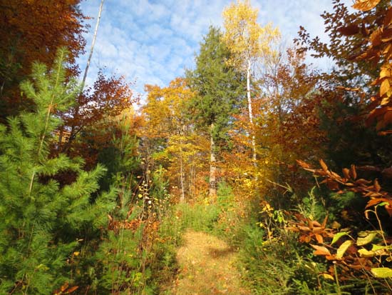
Middle Mountain Trail was also generally dry, with a few minor patches of mud. Some of the moss covered ledges were a little slippery (ie the moss was moving around underfoot). The trail, between the logging road portion and the ledges, is quite vague - no footbed established and fresh leaves over the top - but the blazing is fresh and adequate.
Some very nice past-peak foliage colors throughout.
| Hike Ratings |
|
Getting To Trailhead: |
Moderate |
| Destination: |
Middle Mountain |
|
Length: |
Moderate |
|
Steepness: |
Moderate |
|
Navigation: |
Moderate |
|
Views: |
Excellent |
|
Crowds: |
Minimal |
|
| Hike Stats |
|
Date Hiked: |
Thursday, October 18, 2012 |
| Parking Elevation: |
750' |
| Destination: |
Middle Mountain |
| Time Elapsed: |
00:48 |
| Trailhead Elevation: |
750' |
| Summit Elevation: |
2,009' |
| Distance: |
2.2 miles |
| Vertical Gain: |
1,359' |
|
|
| Hike Time Elapsed: |
01:36 |
| Hike Distance: |
4.4 miles |
| Hike Vertical Gain: |
1,459' |
|
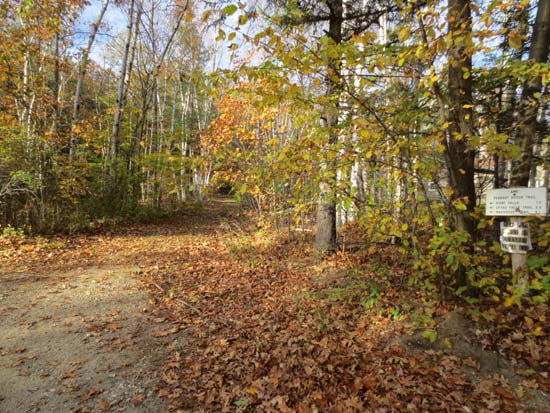
The Peabody Brook Trail trailhead
The Middle Mountain Trail

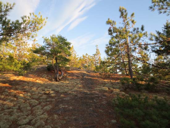
Looking into Maine from Middle Mountain
Directions to trailhead: Take US 2 East of Gorham, take a left onto North Road. The Peabody Brook Trail trailhead will eventually be on the left, between two houses. There is limited room to park on the opposite side of the road.
Back to Middle Mountain Profile
|

