Home
States
Colorado
Connecticut
Maine
Massachusetts
New Hampshire
New York
Rhode Island
Utah
Vermont
View All
Lists
NE 4,000 Footers
NE 100 Highest
NH 4,000 Footers
NH 100 Highest
NH 52 With A View
NH Belknap Range
NH Ossipee 10
Links
Trail Conditions
Trip Log
Sunrises
Sunsets
About
|
Middle Sister
Albany, NH
Trailheads, measurements, times, distances, and maps are all approximate and relative to the hike(s) as shown below.
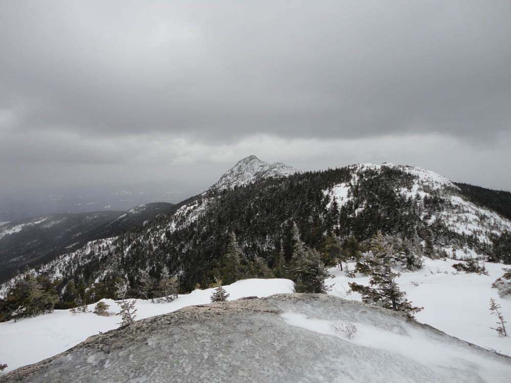
The ice cube known as Mt. Chocorua
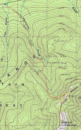
Route: Champney Falls Trail, Piper Trail, Champney Falls Trail, Middle Sister Trail, (Middle Sister), Middle Sister Trail, Champney Falls Cutoff, Champney Falls Trail
While my original intent was to hike Mt. Chocorua, plans change.
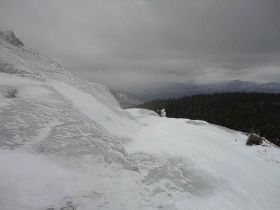
The Champney Falls Trail trailhead had been slightly relocated, due to the near-trailhead bridge being knocked over by ice flow from the brook. The lower portion of the trail was in decent shape for snowshoeing, however above the first waterfall loop junction it was a bit rough in places.
After turning onto the Piper Trail, I soon cleared treeline on Chocorua. The northern faces of the ledges were caked in slick ice. After getting to without a few hundred yards of the summit, I opted to turn back, as even with crampons, the final stretch seemed to be too dangerous to attempt solo. While I could have tried a different approach via the West Side Trail, I instead settled for the nearby Middle Sister peak.
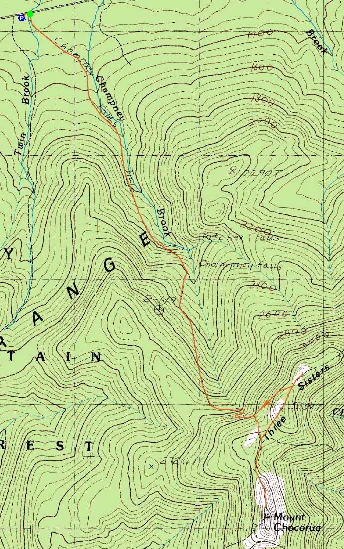
The trailfinding was a little tricky in places, however I eventually found myself at the summit with decent views. For the descent, the Champney Falls Cutoff was a bit rough due to lots of sideslopes.
| Hike Ratings |
|
Getting To Trailhead: |
Easy |
| Destination: |
Middle Sister |
|
Length: |
Moderate |
|
Steepness: |
Difficult |
|
Navigation: |
Difficult |
|
Views: |
Excellent |
|
Crowds: |
Minimal |
|
| Hike Stats |
|
Date Hiked: |
Sunday, March 13, 2011 |
| Hike Commenced: |
9:14 AM |
| Parking Elevation: |
1,260' |
| Destination: |
Middle Sister |
| Ascent Commenced: |
9:15 AM |
| Summit Reached: |
11:36 AM |
| Time Elapsed: |
02:21 |
| Trailhead Elevation: |
1,260' |
| Summit Elevation: |
3,340' |
| Vertical Gain: |
2,554' |
|
|
| Hike Ended: |
1:01 PM |
| Hike Time Elapsed: |
03:47 |
| Hike Vertical Gain: |
2,654' |
|
The temporary Champney Falls Trail trailhead of Route 112

Looking at Mt. Chocorua from Middle Sister
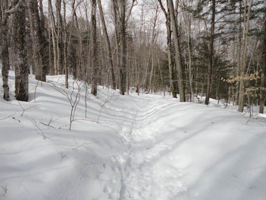
The Champney Falls Trail

Directions to trailhead: Take Route 112 West past the visitor center on the right. The Champney Falls Trail USFS fee parking lot will eventually be on the left. Due to a non-Delmont-related bridge incident, the Champney Falls Trail trailhead has been temporarily moved a short walk west on Route 112.
Back to Middle Sister Profile
|