Home
States
Colorado
Connecticut
Maine
Massachusetts
New Hampshire
New York
Rhode Island
Utah
Vermont
View All
Lists
NE 4,000 Footers
NE 100 Highest
NH 4,000 Footers
NH 100 Highest
NH 52 With A View
NH Belknap Range
NH Ossipee 10
Links
Trail Conditions
Trip Log
Sunrises
Sunsets
About
|
Mittersill Peak, Cannon Mountain
Franconia, NH
Trailheads, measurements, times, distances, and maps are all approximate and relative to the hike(s) as shown below.
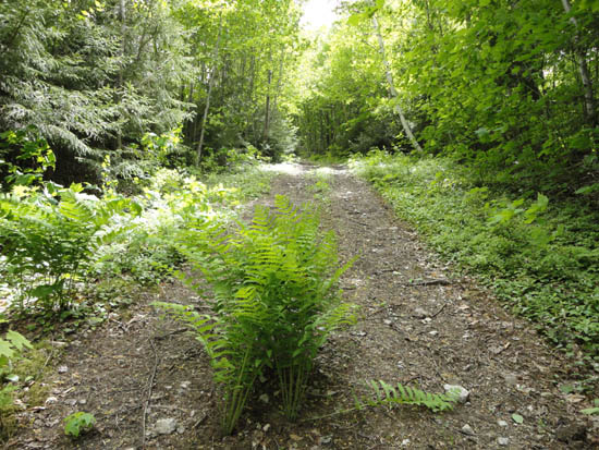
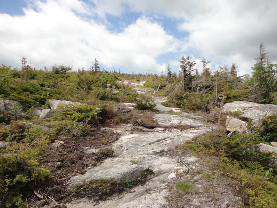
Looking up an old trail on the way to Mittersill Peak
Minimal bugs due to cold temperatures and breeze.
| Hike Ratings |
|
Getting To Trailhead: |
Easy |
| Destination: |
Mittersill Peak |
|
Length: |
Moderate |
|
Steepness: |
Difficult |
|
Navigation: |
Easy |
|
Views: |
Excellent |
|
Crowds: |
Minimal |
| Destination: |
Cannon Mountain |
|
Length: |
Moderate |
|
Steepness: |
Difficult |
|
Navigation: |
Easy |
|
Views: |
Excellent |
|
Crowds: |
Moderate |
|
| Hike Stats |
|
Date Hiked: |
Friday, June 3, 2011 |
| Parking Elevation: |
1,855' |
| Destination: |
Mittersill Peak |
| Time Elapsed: |
00:43 |
| Trailhead Elevation: |
1,870' |
| Summit Elevation: |
3,617' |
| Vertical Gain: |
1,747' |
| Destination: |
Cannon Mountain |
| Time Elapsed: |
00:19 |
| Trailhead Elevation: |
3,617' |
| Summit Elevation: |
4,100' |
| Vertical Gain: |
605' |
|
|
| Hike Time Elapsed: |
02:50 |
| Hike Vertical Gain: |
2,449' |
|
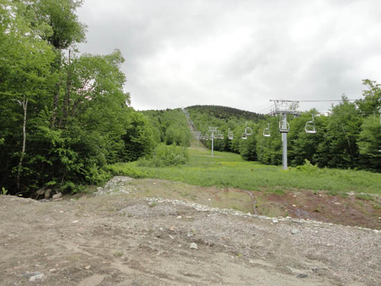
Looking up the bottom of the Mittersill lift line
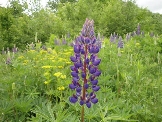
Lupine near the bottom of Mittersill
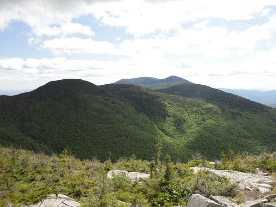
Northeast Cannonball and the Kinsmans as seen from Mittersill Peak
Looking up the Taft Trail
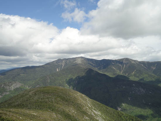
The Franconia Ridge as seen from the Cannon Mountain observation tower
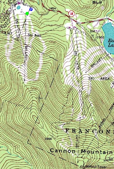

Directions to trailhead: Take I-93 North to the Cannon Mountain Peabody Slopes exit. Continue past the Cannon entrance, taking a left at the Mittersill sign. There are multiple parking areas on the left a fraction of a mile down this road. The Mittersill chairlift is located at the back of these lots.
Back to Mittersill Peak Profile
Back to Cannon Mountain Profile
|


