Home
States
Colorado
Connecticut
Maine
Massachusetts
New Hampshire
New York
Rhode Island
Utah
Vermont
View All
Lists
NE 4,000 Footers
NE 100 Highest
NH 4,000 Footers
NH 100 Highest
NH 52 With A View
NH Belknap Range
NH Ossipee 10
Links
Trail Conditions
Trip Log
Sunrises
Sunsets
About
|
Mittersill Peak, Cannon Mountain
Franconia, NH
Trailheads, measurements, times, distances, and maps are all approximate and relative to the hike(s) as shown below.
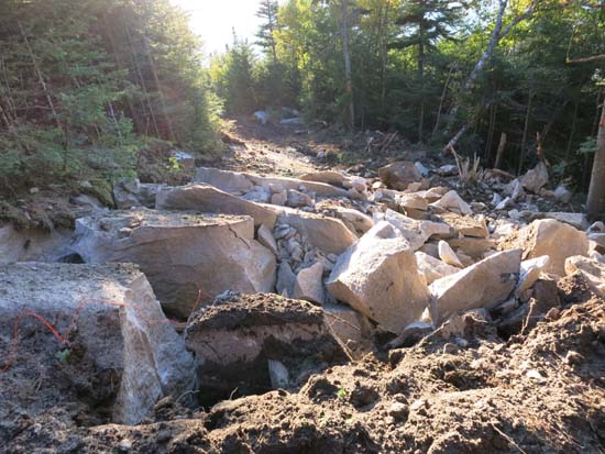
Blasting on the Mittersill-Cannon Trail on the way to Mittersill Peak
Route: Mittersill-Cannon Trail, Short Trail
I would advise *not* using this trail right now.
Construction has made a mess out of it the access road portion of the hiking trail below the top of the chairlift. Interestingly, explosives are being used on the hiking trail, outside of the official project area. Large granite blocks and blasting wires remain. In addition, heavy equipment has dug up the historic Taft Trail above the top of the chairlift, leaving deep muddy ruts.
The operators at Loon, Waterville, Wildcat, etc. would never get away with the continued shenanigans the state is pulling at Mittersill.
| Hike Ratings |
|
Getting To Trailhead: |
Easy |
| Destination: |
Mittersill Peak |
|
Length: |
Moderate |
|
Steepness: |
Difficult |
|
Navigation: |
Easy |
|
Views: |
Excellent |
|
Crowds: |
Minimal |
| Destination: |
Cannon Mountain |
|
Length: |
Moderate |
|
Steepness: |
Difficult |
|
Navigation: |
Easy |
|
Views: |
Excellent |
|
Crowds: |
Minimal |
|
| Hike Stats |
|
Date Hiked: |
Tuesday, September 16, 2014 |
| Parking Elevation: |
1,855' |
| Destination: |
Mittersill Peak |
| Time Elapsed: |
00:38 |
| Trailhead Elevation: |
1,870' |
| Summit Elevation: |
3,617' |
| Vertical Gain: |
1,747' |
| Destination: |
Cannon Mountain |
| Time Elapsed: |
00:16 |
| Trailhead Elevation: |
3,617' |
| Summit Elevation: |
4,100' |
| Vertical Gain: |
645' |
|
|
| Hike Time Elapsed: |
02:14 |
| Hike Vertical Gain: |
2,529' |
|
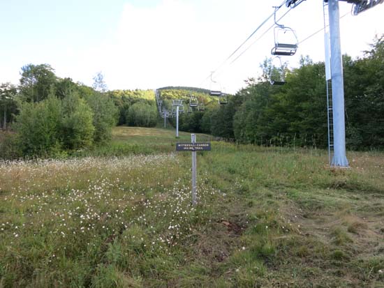
The Mittersill-Cannon Trail trailhead
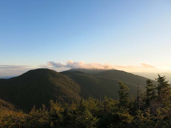
Looking at the Cannonballs and Kinsmans from Mittersill Peak
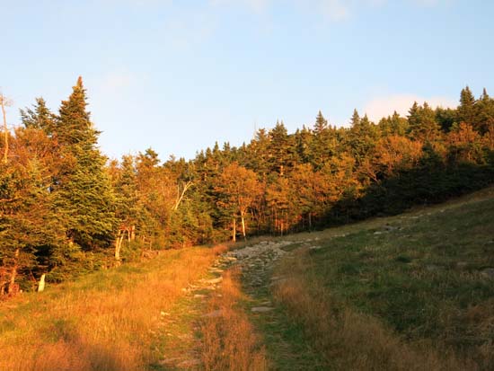
Looking up the Mittersill-Cannon Trail on the way to Cannon Mountain
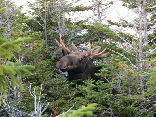
A refugee between the peaks on the Mittersill-Cannon Trail
The Kinsmans as seen from the Cannon Mountain observation tower

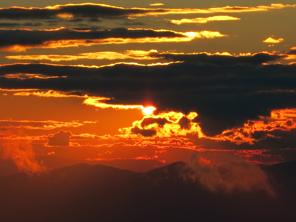
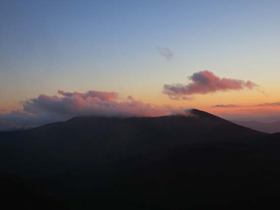
The sunset from near the summit of Cannon Mountain
Directions to trailhead: Take I-93 North to the Cannon Mountain Peabody Slopes exit. Continue past the Cannon entrance, taking a left at the Mittersill sign. There are multiple parking areas on the left a fraction of a mile down this road. The Mittersill chairlift is located at the back of these lots. The Mittersill-Cannon Trail starts next to the chairlift.
Back to Mittersill Peak Profile
Back to Cannon Mountain Profile
|