Home
States
Colorado
Connecticut
Maine
Massachusetts
New Hampshire
New York
Rhode Island
Utah
Vermont
View All
Lists
NE 4,000 Footers
NE 100 Highest
NH 4,000 Footers
NH 100 Highest
NH 52 With A View
NH Belknap Range
NH Ossipee 10
Links
Trail Conditions
Trip Log
Sunrises
Sunsets
About
|
Mt. Chocorua
Albany, NH
Trailheads, measurements, times, distances, and maps are all approximate and relative to the hike(s) as shown below.
Looking down the Piper Trail
Route: Piper Trail, (Mt. Chocorua), Piper Trail, Camp Penacook Spur, Piper Trail
Trail was mostly dry and in good shape. Good to see some recent blazes and cairns above treeline - that should hopefully cut down on search and rescues
| Hike Ratings |
|
Getting To Trailhead: |
Easy |
| Destination: |
Mt. Chocorua |
|
Length: |
Moderate |
|
Steepness: |
Difficult |
|
Navigation: |
Easy |
|
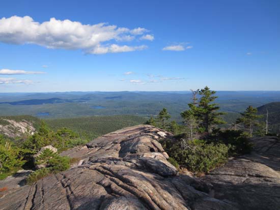
Views: |
Excellent |
|
Crowds: |
Heavy |
|
| Hike Stats |
|
Date Hiked: |
Wednesday, August 29, 2012 |
| Parking Elevation: |
780' |
| Destination: |
Mt. Chocorua |
| Time Elapsed: |
01:17 |
| Trailhead Elevation: |
780' |
| Summit Elevation: |
3,474' |
| Distance: |
4.3 miles |
| Vertical Gain: |
2,824' |
|
|
| Hike Time Elapsed: |
02:51 |
| Hike Vertical Gain: |
3,104' |
|
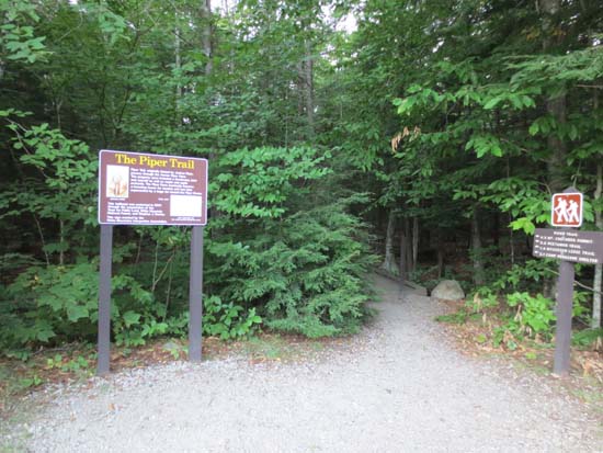
The Piper Trail trailhead
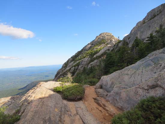
Looking up the Piper Trail
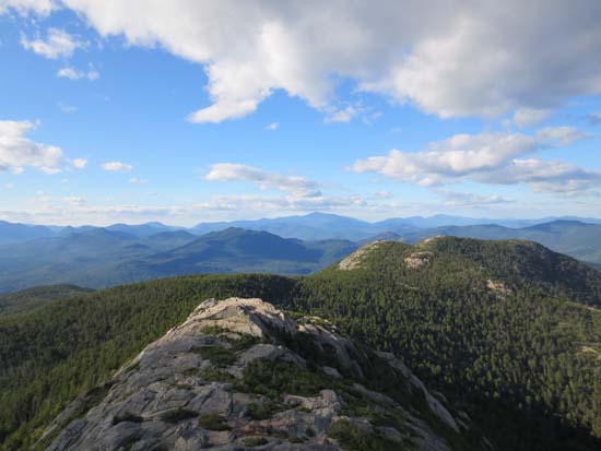
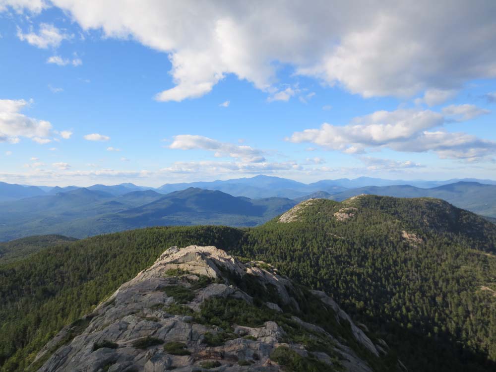
Looking at Mt. Washington from Mt. Chocorua
Directions to trailhead: Take Route 16 North from Tamworth. The Piper Trail WMNF sign is on the left, immediately after a general store. The WMNF fee parking area is about a minute or off Route 16. The Piper Trail trailhead is at the back corner of the parking lot.
Back to Mt. Chocorua Profile
|