Home
States
Colorado
Connecticut
Maine
Massachusetts
New Hampshire
New York
Rhode Island
Utah
Vermont
View All
Lists
NE 4,000 Footers
NE 100 Highest
NH 4,000 Footers
NH 100 Highest
NH 52 With A View
NH Belknap Range
NH Ossipee 10
Links
Trail Conditions
Trip Log
Sunrises
Sunsets
About
|
Mt. Anna
Alton, NH, Gilmanton, NH
Trailheads, measurements, times, distances, and maps are all approximate and relative to the hike(s) as shown below.
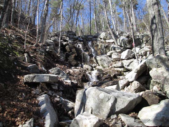
Looking up the Precipice Path
Route: Snowmobile Corridor 22W, herd path, Precipice Path, Straightback-Anna Link, Anna-Goat Trail, Snowmobile Corridor 22W
Trails were snow free and mostly dry. A few areas of minor mud on the snowmobile corridor.
Precipice Path (west branch) was a very interesting trail with a rock slide, small water fall, and lots of walking near cliffs. Footbed not overly obvious in a lot of places, so one has to keep their eye out for the red blazes and flagging tape..
I forgot that I needed to go a decent distance down the Blue Trail southwest of Mt. Anna, so I didn't get any views from that peak (just a slight view from near the top of the Anna-Goat Trail).
| Hike Ratings |
|
Getting To Trailhead: |
Easy |
| Destination: |
Mt. Anna |
|
Length: |
Moderate |
|
Steepness: |
Very Difficult |
|
Navigation: |
Moderate |
|
Views: |
Moderate |
|
Crowds: |
Minimal |
|
| Hike Stats |
|
Date Hiked: |
Monday, May 5, 2014 |
| Parking Elevation: |
985' |
| Destination: |
Mt. Anna |
| Time Elapsed: |
01:00 |
| Trailhead Elevation: |
985' |
| Summit Elevation: |
1,670' |
| Vertical Gain: |
855' |
|
|
| Hike Time Elapsed: |
01:46 |
| Hike Vertical Gain: |
955' |
|
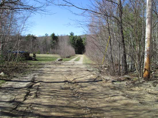
The beginning of the woods road at the end of the maintained portion of Alton Mountain Road
Looking down the Precipice Path
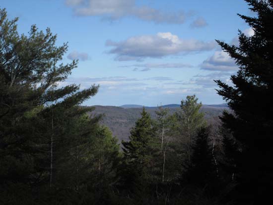
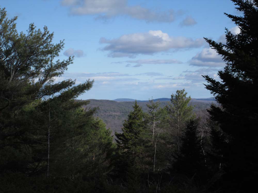
Slight southerly views from near the summit of Mt. Anna
Directions to trailhead: From the Route 28A - Route 11 junction in Alton Bay, head west, going straight through the next junction, onto Rand Hill Road. Take a left onto Alton Mountain Road. A few minutes later, bear right to stay on Alton Mountain Road (rather than going left onto Avery Hill Road). There is limited room to park near the end of the maintained road and snowmobile trail junction.
Back to Mt. Anna Profile
|