Home
States
Colorado
Connecticut
Maine
Massachusetts
New Hampshire
New York
Rhode Island
Utah
Vermont
View All
Lists
NE 4,000 Footers
NE 100 Highest
NH 4,000 Footers
NH 100 Highest
NH 52 With A View
NH Belknap Range
NH Ossipee 10
Links
Trail Conditions
Trip Log
Sunrises
Sunsets
About
|
Mt. Avalon, Mt. Field, Mt. Willey, Mt. Tom
Carroll, NH, Bethlehem, NH
Trailheads, measurements, times, distances, and maps are all approximate and relative to the hike(s) as shown below.
The Avalon Trail
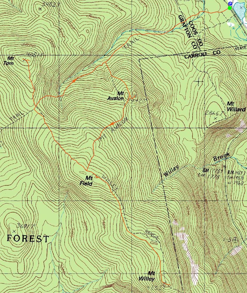
Route: Avalon Trail, (spur trail to summit), (Mt. Avalon), (spur trail from summit), Avalon Trail, Willey Range Trail, (Mt. Field), Willey Range Trail, (Mt. Willey), Willey Range Trail, (Mt. Field), Willey Range Trail, A-Z Trail, Mt. Tom Spur Trail, (Mt. Tom), Mt. Tom Spur Trail, A-Z Trail, Avalon Trail
Another bad weather forecast. Since thunderstorms were no longer part of it, I decided to head up and do the vanilla Tom-Field-Willey hike.
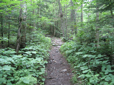
The first part of the Avalon Trail was in pretty good shape - some mud, but nothing too significant. The mud picked up as I neared the second water crossing - despite the recent rain, neither were as high as they tend to be in spring.
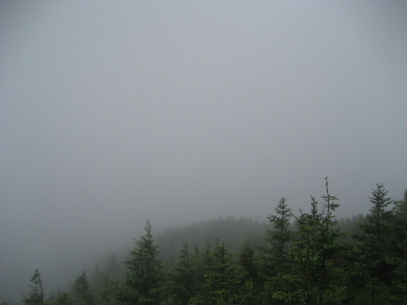
Reaching the Avalon summit spur trail, I decided to give it a go, as to see if perhaps the fog had a momentary lapse of reason. It decided to stick around and I was treated to nothing in way of views.
The section of trail after the summit spur, on the way to Mt. Field, was quite muddy - not much fun. Things improved for the ascent, however, and soon I was standing in the fog on Mt. Field.
Heading to Mt. Willey, the fog turned to light rain - time for a rain jacket. As was the case on Mt. Field, there were no views to be had on Mt. Willey either today, therefore hurting the greyjay's food-begging-business.
As the 'daylight' waned, I worked my way over to Mt. Tom. Once again, no views from the summit. Back on the A-Z Trail, I slowly worked my way down over wet rocks and roots, making it back to the train depot without needing a headlamp.
| Hike Ratings |
|
Getting To Trailhead: |
Easy |
| Destination: |
Mt. Avalon |
|
Length: |
Moderate |
|
Steepness: |
Difficult |
|
Navigation: |
Easy |
|
Views: |
Minimal due to weather |
|
Crowds: |
Moderate |
| Destination: |
Mt. Field |
|
Length: |
Moderate |
|
Steepness: |
Difficult |
|
Navigation: |
Easy |
|
Views: |
Minimal due to weather |
|
Crowds: |
Minimal |
| Destination: |
Mt. Willey |
|
Length: |
Moderate |
|
Steepness: |
Difficult |
|
Navigation: |
Moderate |
|
Views: |
Minimal due to weather |
|
Crowds: |
Minimal |
| Destination: |
Mt. Field |
|
Length: |
Moderate |
|
Steepness: |
Difficult |
|
Navigation: |
Easy |
|
Views: |
Minimal due to weather/TD> |
|
Crowds: |
Minimal |
| Destination: |
Mt. Tom |
|
Length: |
Moderate |
|
Steepness: |
Difficult |
|
Navigation: |
Easy |
|
Views: |
Minimal due to weather |
|
Crowds: |
Minimal |
|
| Hike Stats |
|
Date Hiked: |
Wednesday, July 8, 2009 |
| Hike Commenced: |
4:09 PM |
| Parking Elevation: |
1,900' |
| Destination: |
Mt. Avalon |
| Ascent Commenced: |
4:09 PM |
| Summit Reached: |
4:57 PM |
| Time Elapsed: |
00:48 |
| Trailhead Elevation: |
1,900' |
| Summit Elevation: |
3,442' |
| Distance: |
1.8 miles |
| Vertical Gain: |
1,567' |
| Destination: |
Mt. Field |
| Ascent Commenced: |
4:57 PM |
| Summit Reached: |
5:33 PM |
| Time Elapsed: |
00:36 |
| Trailhead Elevation: |
3,442' |
| Summit Elevation: |
4,340' |
| Distance: |
.9 mile |
| Vertical Gain: |
995' |
| Destination: |
Mt. Willey |
| Ascent Commenced: |
5:34 PM |
| Summit Reached: |
6:15 PM |
| Time Elapsed: |
00:41 |
| Trailhead Elevation: |
4,340' |
| Summit Elevation: |
4,285' |
| Distance: |
1.4 miles |
| Vertical Gain: |
465' |
| Destination: |
Mt. Field |
| Ascent Commenced: |
6:17 PM |
| Summit Reached: |
7:00 PM |
| Time Elapsed: |
00:43 |
| Trailhead Elevation: |
4,285' |
| Summit Elevation: |
4,340' |
| Distance: |
1.4 miles |
| Vertical Gain: |
520' |
| Destination: |
Mt. Tom |
| Ascent Commenced: |
7:00 PM |
| Summit Reached: |
7:41 PM |
| Time Elapsed: |
00:41 |
| Trailhead Elevation: |
4,340' |
| Summit Elevation: |
4,051' |
| Distance: |
1.5 miles |
| Vertical Gain: |
411' |
|
|
| Hike Ended: |
8:59 PM |
| Hike Time Elapsed: |
04:50 |
| Hike Distance: |
9.9 miles |
| Hike Vertical Gain: |
4,128' |
|
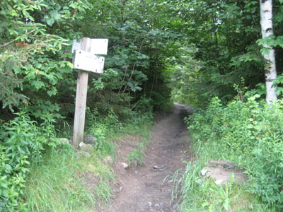
The Avalon Trail trailhead next to the train station

Flowers growing in the field near the Avalon Trail trailhead
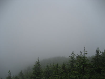
Fog, Mt. Avalon style
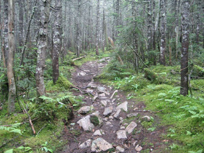
The Avalon Trail to Mt. Field
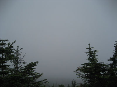
Fog, Mt. Field style

The Willey Range Trail on the way to Mt. Willey

Fog, Mt. Willey style

Looking down the Willey Range Trail on the way to Mt. Tom

Fog, Mt. Tom style

Directions to trailhead: Take Route 302 west from Bartlett, NH. There is day parking next to the railroad station. Trailhead is across the tracks.
Back to Mt. Avalon Profile
Back to Mt. Field Profile
Back to Mt. Willey Profile
Back to Mt. Tom Profile
|