Home
States
Colorado
Connecticut
Maine
Massachusetts
New Hampshire
New York
Rhode Island
Utah
Vermont
View All
Lists
NE 4,000 Footers
NE 100 Highest
NH 4,000 Footers
NH 100 Highest
NH 52 With A View
NH Belknap Range
NH Ossipee 10
Links
Trail Conditions
Trip Log
Sunrises
Sunsets
About
|
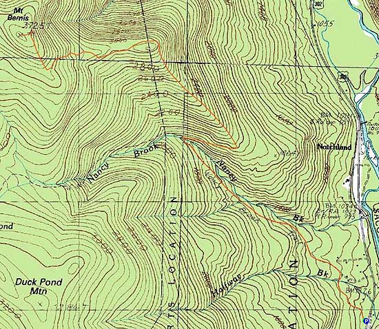
Mt. Bemis
Harts Location, NH, Livermore, NH
Trailheads, measurements, times, distances, and maps are all approximate and relative to the hike(s) as shown below.
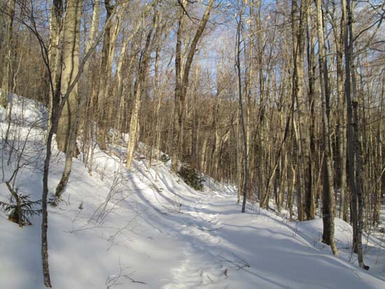
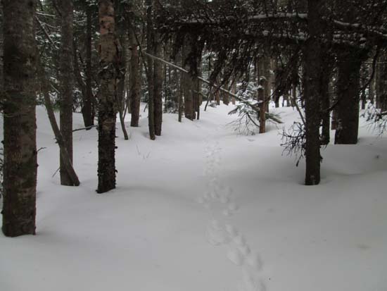
Looking up the Nancy Pond Trail
Route: Nancy Pond Trail, Mt. Bemis Trail, bushwhack, (Mt. Bemis), bushwhack, Mt. Bemis Trail, Nancy Pond Trail
The first portion of the Nancy Pond Trail had not seen any recent use. A breakable crust on top of a few inches of snow. Nearing the locals trails, there had been some slightly more recent use. Tracks continued beyond the turnoff from Mt. Bemis, but my guess is the didn't go all the way to Nancy. Up to this point, the trail is now well broken out for snowshoe use and probably has a foot of base.
There had been some use on the abandoned Mt. Bemis Trail a few weeks earlier, but not since the recent storms. Snowpack increased as we climbed, reaching probably 3 feet by the time we cleared the first ridge. Apart from plentiful spruce traps, we weren't sinking in too deeply. A few areas of blowdown before/at/beyond the first height of land made for some creative moves, but otherwise not too bad. Beyond that first height of land, the corridor was vague in some places due to encroaching spruce. Nonetheless, we were able to stay on trail all the way to the fantastic view knoll and beyond.
We did lose the trail climbing up the headwall, as part of it was clogged with spruce (and higher up blowdown). We bushwhacked around this, rejoining the trail for the last gradual walk to remains of the firetower.
From there, we bushwhacked over to the wooded highpoint in scrappy woods.
On the return trip, we ran into another group of three, so the trail should be decently packed out for snowshoe traffic at this point.
| Hike Ratings |
|
Getting To Trailhead: |
Easy |
| Destination: |
Mt. Bemis |
|
Length: |
Moderate |
|
Steepness: |
Difficult |
|
Navigation: |
Difficult |
|
Views: |
Moderate |
|
Crowds: |
Minimal |
|
| Hike Stats |
|
Date Hiked: |
Sunday, January 11, 2015 |
| Parking Elevation: |
940' |
| Destination: |
Mt. Bemis |
| Time Elapsed: |
04:09 |
| Trailhead Elevation: |
940' |
| Summit Elevation: |
3,725' |
| Vertical Gain: |
2,935' |
|
|
| Hike Time Elapsed: |
07:01 |
| Hike Vertical Gain: |
3,085' |
|
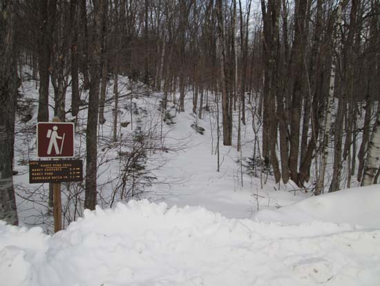
The Nancy Pond Trail trailhead of US 302
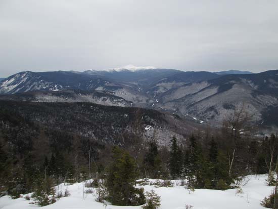
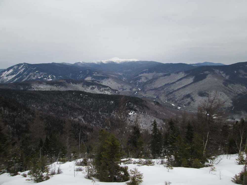
Looking at Mt. Washington from the Mt. Bemis knoll
Looking up the abandoned Mt. Bemis Trail above the knoll

Directions to trailhead: Take US 302 West from Bartlett. Shortly after passing Sawyer River Road (but prior to passing the Davis Path parking area), the small dirt parking area and trailhead for the Nancy Pond Trail will be on the left.
Back to Mt. Bemis Profile
|