Home
States
Colorado
Connecticut
Maine
Massachusetts
New Hampshire
New York
Rhode Island
Utah
Vermont
View All
Lists
NE 4,000 Footers
NE 100 Highest
NH 4,000 Footers
NH 100 Highest
NH 52 With A View
NH Belknap Range
NH Ossipee 10
Links
Trail Conditions
Trip Log
Sunrises
Sunsets
About
|
Mt. Cabot
Lancaster, NH, Kilkenny, NH
Trailheads, measurements, times, distances, and maps are all approximate and relative to the hike(s) as shown below.
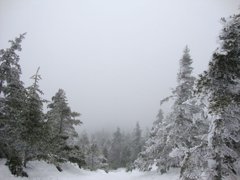
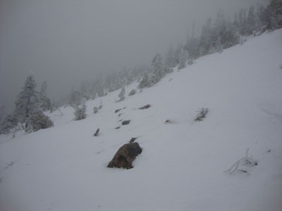
Looking up the Kilkenny Ridge Trail
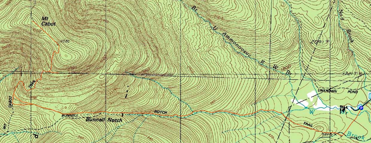
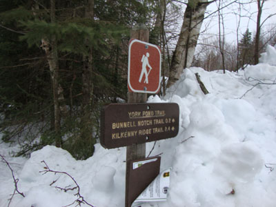
Route: York Pond Trail, Bunnell Notch Trail, Kilkenny Ridge Trail, (Mt. Cabot), Kilkenny Ridge Trail, bushwhack, Kilkenny Ridge Trail, Bunnell Notch Trail, York Pond Trail
A nasty, rainy day, Cabot seemed like a good choice - just far enough north to be removed from heavy rains.
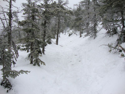
Starting in a drizzle, we worked our way up the logging roads and eventually the Bunnell Notch Trail. The winds were whipping up high. In addition, as we climbed, we entered into a sleet/snow storm. After reaching the highpoint, we headed back to the Cabot Cabin for a brief snack break.
On the way down, we bushwhacked off the Kilkenny Ridge Trail to the side of the massive talus field on the south face of the mountain. We opted not to go too far into the field, as the wind-driven-sleet and lack of views was less than inspiring. Nonetheless, a neat place to visit.
By the time we returned to the parking area, snow had overtaken the rain.
| Hike Ratings |
|
Getting To Trailhead: |
Easy |
| Destination: |
Mt. Cabot |
|
Length: |
Moderate |
|
Steepness: |
Moderate |
|
Navigation: |
Difficult |
|
Views: |
Minimal (due to weather) |
|
Crowds: |
Minimal |
|
| Hike Stats |
|
Date Hiked: |
Sunday, March 14, 2010 |
| Hike Commenced: |
8:21 AM |
| Parking Elevation: |
1,670' |
| Destination: |
Mt. Cabot |
| Ascent Commenced: |
8:21 AM |
| Summit Reached: |
11:11 AM |
| Time Elapsed: |
02:50 |
| Trailhead Elevation: |
1,670' |
| Summit Elevation: |
4,170' |
| Vertical Gain: |
2,800' |
|
|
| Hike Ended: |
1:58 PM |
| Hike Time Elapsed: |
05:37 |
| Hike Vertical Gain: |
3,100' |
|
The York Pond Trail trailhead

A lack of views from the old firetower site on Mt. Cabot
Part of the massive talus field on the side of Mt. Cabot

Directions to trailhead: Take Route 16 to Berlin, then take Route 110 west. York Pond Road will eventually be on the left. Continue through the Fish Hatchery (do be aware that the gates are only open during the day, usually 8 AM - 4 PM). The York Pond Trail trailhead and small parking area will eventually be on the left, shortly after passing the Unknown Pond Trail parking area on the right.
Back to Mt. Cabot Profile
|