Home
States
Colorado
Connecticut
Maine
Massachusetts
New Hampshire
New York
Rhode Island
Utah
Vermont
View All
Lists
NE 4,000 Footers
NE 100 Highest
NH 4,000 Footers
NH 100 Highest
NH 52 With A View
NH Belknap Range
NH Ossipee 10
Links
Trail Conditions
Trip Log
Sunrises
Sunsets
About
|
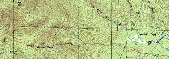
Mt. Cabot
Berlin, NH, Kilkenny, NH
Trailheads, measurements, times, distances, and maps are all approximate and relative to the hike(s) as shown below.

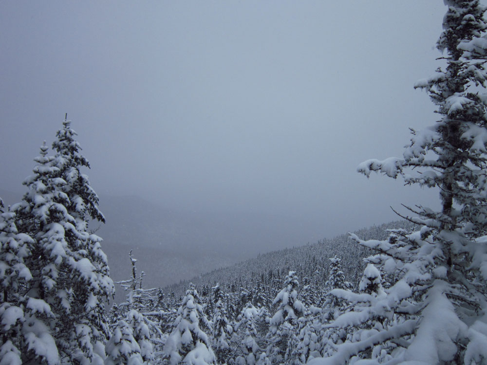
Looking up the Kilkenny Ridge Trail
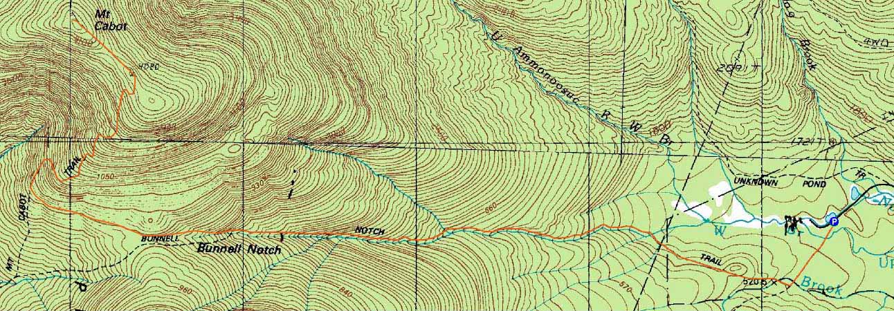
Route: York Pond Trail, Bunnell Notch Trail, Kilkenny Ridge Trail, (Mt. Cabot), Kilkenny Ridge Trail, Bunnell Notch Trail, York Pond Trail
Cold day. Just enough snowpack to snowshoe.
| Hike Ratings |
|
Getting To Trailhead: |
Easy |
| Destination: |
Mt. Cabot |
|
Length: |
Moderate |
|
Steepness: |
Moderate |
|
Navigation: |
Moderate |
|
Views: |
Minimal (due to weather) |
|
Crowds: |
Minimal |
|
| Hike Stats |
|
Date Hiked: |
Saturday, January 21, 2012 |
| Parking Elevation: |
1,670' |
| Destination: |
Mt. Cabot |
| Time Elapsed: |
03:02 |
| Trailhead Elevation: |
1,670' |
| Summit Elevation: |
4,170' |
| Distance: |
4.8 miles |
| Vertical Gain: |
2,780' |
|
|
| Hike Time Elapsed: |
05:18 |
| Hike Distance: |
9.6 miles |
| Hike Vertical Gain: |
3,060' |
|
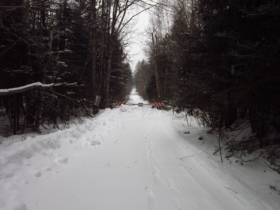
The York Pond Trail trailhead
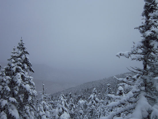
Socked in at the old fire tower site

Directions to trailhead: Take Route 16 to Berlin, then take Route 110 west. York Pond Road will eventually be on the left. Continue through the Fish Hatchery (do be aware that the gates are only open during the day, usually 8 AM - 4 PM). The York Pond Trail trailhead and small parking area will eventually be on the left, shortly after passing the Unknown Pond Trail parking area on the right.
Back to Mt. Cabot Profile
|