Home
States
Colorado
Connecticut
Maine
Massachusetts
New Hampshire
New York
Rhode Island
Utah
Vermont
View All
Lists
NE 4,000 Footers
NE 100 Highest
NH 4,000 Footers
NH 100 Highest
NH 52 With A View
NH Belknap Range
NH Ossipee 10
Links
Trail Conditions
Trip Log
Sunrises
Sunsets
About
|
Mt. Carrigain
Livermore, NH
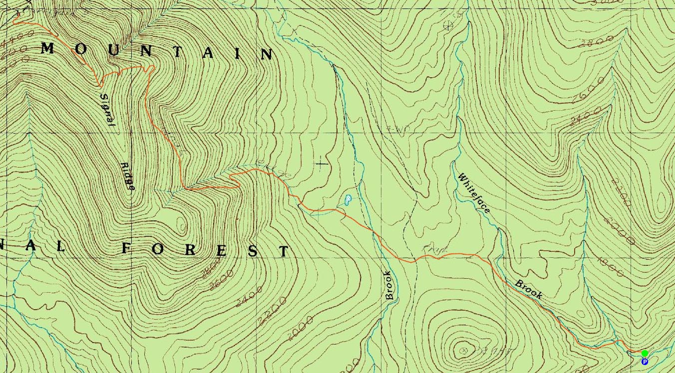
Trailheads, measurements, times, distances, and maps are all approximate and relative to the hike(s) as shown below.
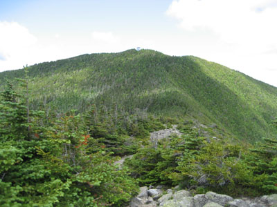
On the Signal Ridge Trail looking at Mt. Carrigain
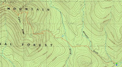
Route: Signal Ridge Trail
Mt. Carrigain had been the plan for a few weeks. For awhile, the weather looked threatening (but what do these meteorologists really know?), but as the morning arrived, it was partly sunny and very mild (low 60s at the trailhead - perfect for hiking!).
After arriving at fairly empty parking lot, we started off at a good pace (about 3.5 miles per hour) on the flats.
Soon, we were at the beginning of the actual ascent. At this point for me, with only two Pop Tarts not much sleep to my credit (especially after doing the Osceolas the previous afternoon/early evening), and still being out of shape, things started to get rather difficult. Though the pitch doesn't get extreme at any point, the constant short bursts of steeper terrain wore me out rather quickly. That, along with a somewhat boring trail, would have made this a pain in the neck to do solo - thank gosh for good conversation!
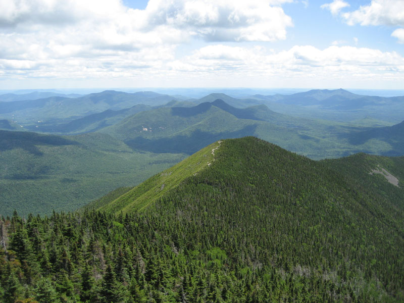
After a few thousand feet of vertical, we reached the top of the ridge - where the hike finally becomes interesting. I must say that I prefer the ridge to the actual summit - the low growth and the steep drop offs make the views that much more exciting.
There are very few markings on the Signal Ridge Trail - in some points it seems like a random herd path - making a few intersections briefly head-scratchable. Nonetheless, we found our way up to summit without getting sidetracked or lost.
The views from the tower were not as good as I had expected - all of the hype, along with some flat light in the surrounding regions, made the vistas excellent but not epic in my opinion. The strong winds at the top of the observation deck made for some very cold viewing!
After a nice lunch and some visiting with some friendly people huddled around the ledges below the summit, we started our descent. The knee was sore in some parts, but rather managable considering the vertical and distance.
All things considered, a nice hike!
| Hike Ratings |
|
Getting To Trailhead: |
Easy |
| Destination: |
Mt. Carrigain |
|
Length: |
Difficult |
|
Steepness: |
Difficult |
|
Navigation: |
Moderate |
|
Views: |
Excellent |
|
Crowds: |
Moderate |
|
| Hike Stats |
|
Date Hiked: |
Saturday, June 30, 2007 |
| Hike Commenced: |
10:03 AM |
| Parking Elevation: |
1,370' |
| Destination: |
Mt. Carrigain |
| Ascent Commenced: |
10:04 AM |
| Summit Reached: |
12:24 PM |
| Time Elapsed: |
02:20 |
| Trailhead Elevation: |
1,370' |
| Summit Elevation: |
4,700' |
| Distance: |
5 miles |
| Vertical Gain: |
3,430' |
|
|
| Hike Ended: |
3:17 PM |
| Hike Time Elapsed: |
05:14 |
| Hike Distance: |
10 miles |
| Hike Vertical Gain: |
3,540' |
|
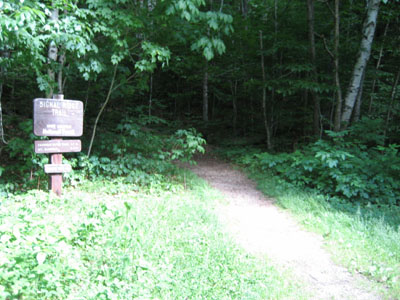
Signal Ridge Trail trailhead on Sawyer River Road

Looking to the east from the Mt. Carrigain summit lookout tower

Directions to trailhead: Take Route 302 West from Bartlett to Sawyer River Road. WMNF fee parking lot is a few minutes up the dirt road on the left. Trailhead is across the road.
Back to Mt. Carrigain Profile
|