Home
States
Colorado
Connecticut
Maine
Massachusetts
New Hampshire
New York
Rhode Island
Utah
Vermont
View All
Lists
NE 4,000 Footers
NE 100 Highest
NH 4,000 Footers
NH 100 Highest
NH 52 With A View
NH Belknap Range
NH Ossipee 10
Links
Trail Conditions
Trip Log
Sunrises
Sunsets
About
|
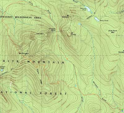
Mt. Carrigain
Livermore, NH
Trailheads, measurements, times, distances, and maps are all approximate and relative to the hike(s) as shown below.
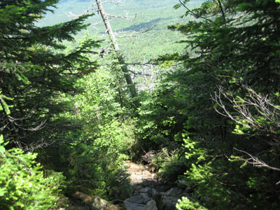
Looking down the Desolation Trail
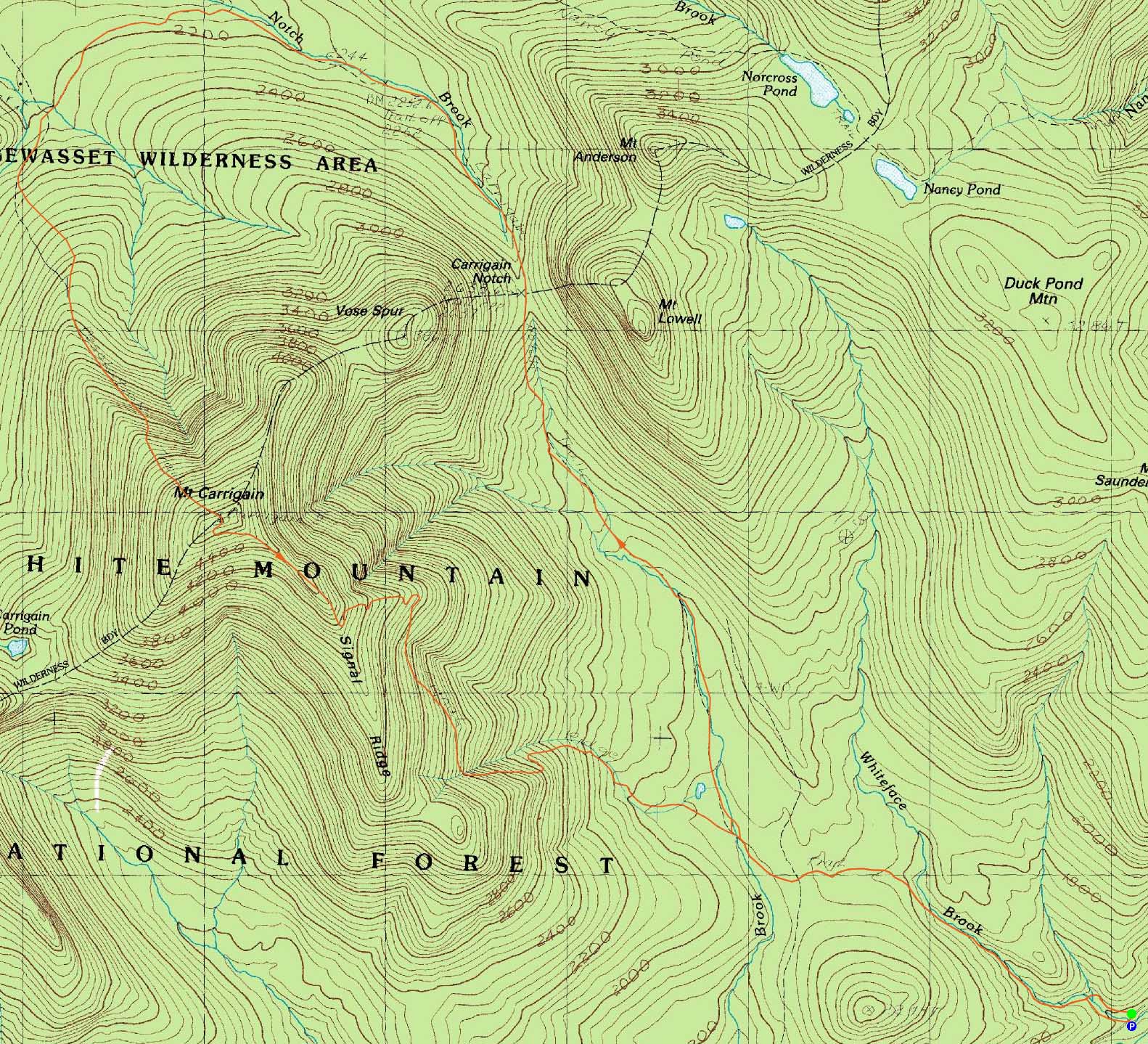
Route: Signal Ridge Trail, Carrigain Notch Trail, Desolation Trail, (Mt. Carrigain), Signal Ridge Trail, (bushwhack), Signal Ridge Trail, (bushwhack)
Another mediocre forecast - of course, in recent weeks, mediocre was great.
The first set of water crossings on the Signal Ridge Trail were rather high - certainly a bit higher than in late spring. After working my way across the first crossing on the Carrigain Notch Trail, I was constantly dealing with either pooled or flowing water on the trail. Shortly after passing the traditional Vose Spur bushwhack starting point (a boulder with stepping stones around it), the trail soon turned a corner and ascended a bit more steeply.
After reaching the height of land on the trail and entering the wilderness, things became even more wet. At one point, the trail was a constant stream for a very extended portion - no waterbars or anything.
Eventually I reached an old railroad grade and soon, I believe, the site of the Desolation Shelter. At that point, it was a bit of a headscratcher, as there were a few possible places for the trail to go. Alas, it crossed a brook and continued on a railroad grade.
Next, the Desolation Trail became gradually steep. Though billed in some places as seemingly being end-of-the-world tough, it reminded me of a longer version of the ascent up North Hancock (certainly nothing easy!). While the footing wasn't particularly great, I didn't find it to be as bad as much more popular trails, such as some of the ones up Cannon.
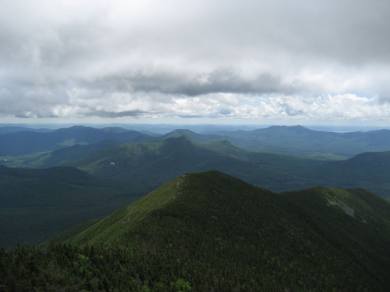
Reaching the summit, I had decent views, despite being sandwiched between two rain storms. Meeting up with some other hikes, I took a leisurely break, before descending the Signal Ridge Trail.
Just after dropping off Signal Ridge, a thunderstorm moved in and hung around for a mile or two. After bushwhacking back to the Carrigain Notch Trail (for a downed-tree crossing) and then bushwhacking to avoid the last set of Signal Ridge crossings, we soon arrived in the parking lot in better weather.
| Hike Ratings |
|
Getting To Trailhead: |
Easy |
| Destination: |
Mt. Carrigain |
|
Length: |
Difficult |
|
Steepness: |
Very Difficult |
|
Navigation: |
Moderate |
|
Views: |
Excellent |
|
Crowds: |
Minimal |
|
| Hike Stats |
|
Date Hiked: |
Saturday, July 4, 2009 |
| Hike Commenced: |
7:54 AM |
| Parking Elevation: |
1,370' |
| Destination: |
Mt. Carrigain |
| Ascent Commenced: |
7:55 AM |
| Summit Reached: |
11:49 AM |
| Time Elapsed: |
03:54 |
| Trailhead Elevation: |
1,370' |
| Summit Elevation: |
4,700' |
| Distance: |
8.5 miles |
| Vertical Gain: |
4,030' |
|
|
| Hike Ended: |
4:05 PM |
| Hike Time Elapsed: |
08:11 |
| Hike Distance: |
13.5 miles |
| Hike Vertical Gain: |
4,230' |
|
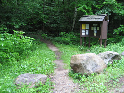
Signal Ridge Trail trailhead on Sawyer River Road
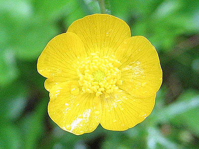
A buttercup at the Signal Ridge Trail trailhead
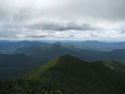
Looking at Signal Ridge, Mt. Tremont, and in the distance, the Moats and Chocorua, from the Mt. Carrigain summit tower

Directions to trailhead: Take Route 302 West from Bartlett to Sawyer River Road. WMNF fee parking lot is a few minutes up the dirt road on the left. Trailhead is across the road.
Back to Mt. Carrigain Profile
|