Home
States
Colorado
Connecticut
Maine
Massachusetts
New Hampshire
New York
Rhode Island
Utah
Vermont
View All
Lists
NE 4,000 Footers
NE 100 Highest
NH 4,000 Footers
NH 100 Highest
NH 52 With A View
NH Belknap Range
NH Ossipee 10
Links
Trail Conditions
Trip Log
Sunrises
Sunsets
About
|
Mt. Carrigain
Livermore, NH
Trailheads, measurements, times, distances, and maps are all approximate and relative to the hike(s) as shown below.
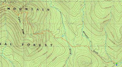
The Signal Ridge Trail
Route: Signal Ridge Trail
With beautiful, crisp early-fall-esque day, I had to sample the views from Mt. Carrigain.
The water crossings were fortunately pretty easily done. As I neared Signal Ridge, I could hear the winds gusting up high. Reaching the summit tower, I had to put on a few layers as well as gloves. While it wasn't freezing, the temperatures were in the 40s, not including the windchill.
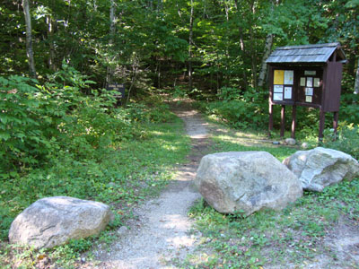
The views from the tower were tremendous - Mt. Monadnock was fairly easily seen, making it at least a 91-mile view day.
After having a quick bite to eat on Signal Ridge, I put on my headlamp and headed out for a long walk in the dark.
| Hike Ratings |
|
Getting To Trailhead: |
Easy |
| Destination: |
Mt. Carrigain |
|
Length: |
Difficult |
|
Steepness: |
Difficult |
|
Navigation: |
Moderate |
|
Views: |
Excellent |
|
Crowds: |
Minimal |
|
| Hike Stats |
|
Date Hiked: |
Monday, August 31, 2009 |
| Hike Commenced: |
4:18 PM |
| Parking Elevation: |
1,370' |
| Destination: |
Mt. Carrigain |
| Ascent Commenced: |
4:19 PM |
| Summit Reached: |
6:29 PM |
| Time Elapsed: |
02:10 |
| Trailhead Elevation: |
1,370' |
| Summit Elevation: |
4,700' |
| Distance: |
5 miles |
| Vertical Gain: |
3,430' |
|
|
| Hike Ended: |
9:01 PM |
| Hike Time Elapsed: |
04:43 |
| Hike Distance: |
10 miles |
| Hike Vertical Gain: |
3,540' |
|
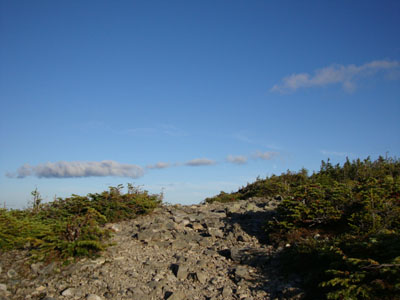
Signal Ridge Trail trailhead on Sawyer River Road
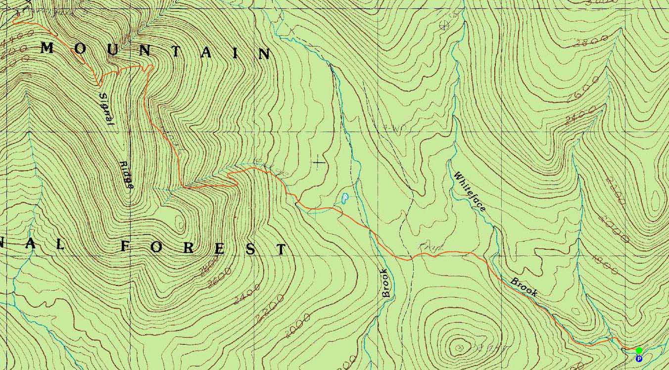
The Signal Ridge Trail just before sunset
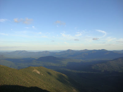
Looking at the Sandwich Range from the Mt. Carrigain summit lookout tower

Directions to trailhead: Take Route 302 West from Bartlett to Sawyer River Road. WMNF fee parking lot is a few minutes up the dirt road on the left. Trailhead is across the road.
Back to Mt. Carrigain Profile
|