Home
States
Colorado
Connecticut
Maine
Massachusetts
New Hampshire
New York
Rhode Island
Utah
Vermont
View All
Lists
NE 4,000 Footers
NE 100 Highest
NH 4,000 Footers
NH 100 Highest
NH 52 With A View
NH Belknap Range
NH Ossipee 10
Links
Trail Conditions
Trip Log
Sunrises
Sunsets
About
|
Mt. Carrigain
Livermore, NH
Trailheads, measurements, times, distances, and maps are all approximate and relative to the hike(s) as shown below.
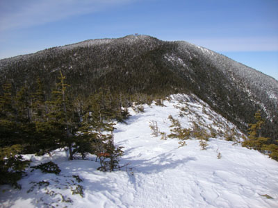
Looking up the Signal Ridge Trail
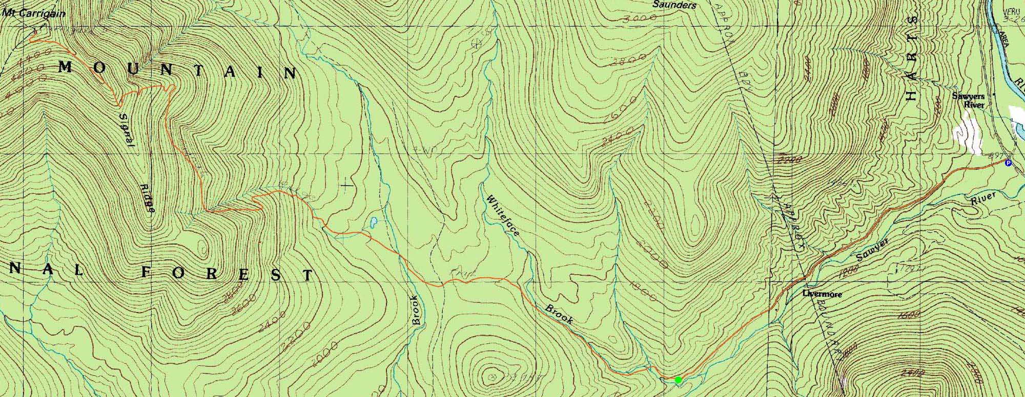
Route: Sawyer River Road, Signal Ridge Trail, (Mt. Carrigain), Signal Ridge Trail, Sawyer River Road
Though a bit cold and windy, the forecast called for an otherwise nice day. After walking the snowmobile (closed Sawyer River Road) trail, we set foot up the Signal Ridge Trail. While a bushwhack had been broken out to avoid it, we opted to cross the brook - since it was ice bridged, the crossing was easy.
While the second brook crossing (just after the Carrigain Notch Trail junction) wasn't bridged, the water level was low enough to allow for fairly easy crossing. After continuing the flat walk for awhile beyond there, we eventually hit the steeps. With lots of recent traffic, the trail was fairly well packed. In addition, there was very little ice to speak of.
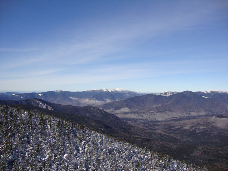
Reaching Signal Ridge, we were greeted by cold, bitter winds - and excellent views, including an optical illusion south of Ascutney in Vermont. Upon reaching the summit, we layered up and headed up to the observation tower. In addition to the Presidentials being in the clear, we had circa 100 mile views in some directions. A haze obscured some northern views, while the northern boundary of a passing storm resulted in some southern clouds. Nonetheless, the views were quite nice.
The descent went rather easily, as the nice snow packed footbed was a welcome changed from the normally rocky walk down the steeps.
| Hike Ratings |
|
Getting To Trailhead: |
Difficult |
| Destination: |
Mt. Carrigain |
|
Length: |
Difficult |
|
Steepness: |
Difficult |
|
Navigation: |
Moderate |
|
Views: |
Excellent |
|
Crowds: |
Minimal |
|
| Hike Stats |
|
Date Hiked: |
Saturday, February 6, 2010 |
| Hike Commenced: |
7:57 AM |
| Parking Elevation: |
900' |
| Destination: |
Mt. Carrigain |
| Ascent Commenced: |
8:37 AM |
| Summit Reached: |
11:50 AM |
| Time Elapsed: |
03:13 |
| Trailhead Elevation: |
1,370' |
| Summit Elevation: |
4,700' |
| Distance: |
5 miles |
| Vertical Gain: |
3,430' |
|
|
| Hike Ended: |
3:36 PM |
| Hike Time Elapsed: |
07:39 |
| Hike Distance: |
14 miles |
| Hike Vertical Gain: |
4,040' |
|
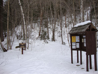
Signal Ridge Trail trailhead on Sawyer River Road

Looking at the Franconia Ridge from the Mt. Carrigain summit lookout tower

Directions to trailhead: Take Route 302 West from Bartlett to Sawyer River Road. In winter, there is a WMNF fee parking lot located to the left of the closed Sawyer River Road. The Signal Ridge Trail is 2 miles up Sawyer River Road, on the right.
Back to Mt. Carrigain Profile
|