Home
States
Colorado
Connecticut
Maine
Massachusetts
New Hampshire
New York
Rhode Island
Utah
Vermont
View All
Lists
NE 4,000 Footers
NE 100 Highest
NH 4,000 Footers
NH 100 Highest
NH 52 With A View
NH Belknap Range
NH Ossipee 10
Links
Trail Conditions
Trip Log
Sunrises
Sunsets
About
|
Mt. Carrigain
Livermore, NH
Trailheads, measurements, times, distances, and maps are all approximate and relative to the hike(s) as shown below.
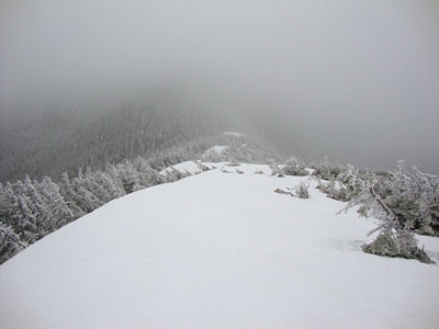
The drifted Signal Ridge Trail
Route: Sawyer River Road, bushwhack, Signal Ridge Trail, (Mt. Carrigain), Signal Ridge Trail, Sawyer River Road
After days of warm weather and rain, things appeared to be becoming more seasonable. With brooks finally dropping after excessively high run off, we opted to give Carrigain a go.
After walking Sawyer River Road (completely bare until the Signal Ridge Trail trailhead), we continued over the road bridge, then bushwhacked south of the brook, reaching the trail just after the on-trail crossing. From there, we alternated barebooting and snowshoeing. The brook crossing immediately after the Carrigain Notch junction was also running high, with stepping stones a few inches under water. We were fortunately able to keep our snowshoes on once we reached the actual climb.
Conditions weren't great, as the trail was filled with leaning spruce and featured a somewhat dangerous monorail - very deep with a decent drop off on the downhill side. Reaching Signal Ridge, the drift had melted significantly since my visit in March. Nonetheless, it was still pretty impressive.
Having been hiking in light snow for the bulk of the ascent, we had no views from the somewhat windy summit. Pressed for time, we opted to descend right away. Of course, within maybe an hour, the skies cleared.
Reaching the brook crossings and already having damp feet, we opted to cross the Whiteface Brook (stepping stones a few inches underwater), rather than partake in the bushwhack. While Sawyer River Road was still closed to the public as we walked back, some vehicles were using it to access the house near the height of land - it would be nice to be able to have a key to the gate for this time of the year!
| Hike Ratings |
|
Getting To Trailhead: |
Difficult |
| Destination: |
Mt. Carrigain |
|
Length: |
Difficult |
|
Steepness: |
Difficult |
|
Navigation: |
Difficult |
|
Views: |
Minimal (due to weather) |
|
Crowds: |
Minimal |
|
| Hike Stats |
|
Date Hiked: |
Saturday, April 10, 2010 |
| Hike Commenced: |
7:28 AM |
| Parking Elevation: |
900' |
| Destination: |
Mt. Carrigain |
| Ascent Commenced: |
8:06 AM |
| Summit Reached: |
11:43 AM |
| Time Elapsed: |
03:37 |
| Trailhead Elevation: |
1,370' |
| Summit Elevation: |
4,700' |
| Vertical Gain: |
3,460' |
|
|
| Hike Ended: |
3:10 PM |
| Hike Time Elapsed: |
07:42 |
| Hike Vertical Gain: |
4,070' |
|
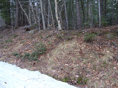
The start of the bushwhack just beyond the Signal Ridge Trail trailhead on Sawyer River Road
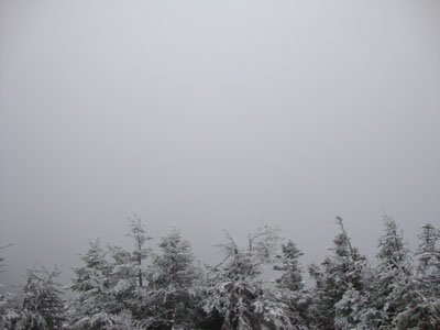
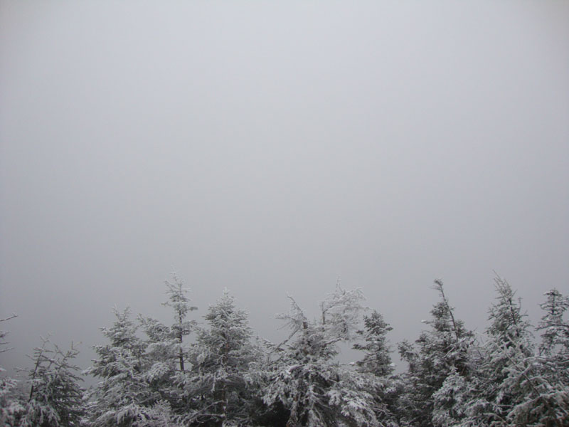
Fog as seen from Mt. Carrigain
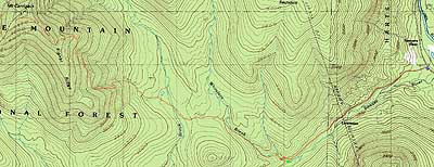

Directions to trailhead: Take Route 302 West from Bartlett to Sawyer River Road. In winter, there is a WMNF fee parking lot located to the left of the closed Sawyer River Road. The Signal Ridge Trail is 2 miles up Sawyer River Road, on the right. When the Whiteface Brook is running high, one can bushwhack south of the brook, reaching the Signal Ridge Trail less than a quarter of a mile later.
Back to Mt. Carrigain Profile
|