Home
States
Colorado
Connecticut
Maine
Massachusetts
New Hampshire
New York
Rhode Island
Utah
Vermont
View All
Lists
NE 4,000 Footers
NE 100 Highest
NH 4,000 Footers
NH 100 Highest
NH 52 With A View
NH Belknap Range
NH Ossipee 10
Links
Trail Conditions
Trip Log
Sunrises
Sunsets
About
|
Mt. Carrigain
Livermore, NH
Trailheads, measurements, times, distances, and maps are all approximate and relative to the hike(s) as shown below.
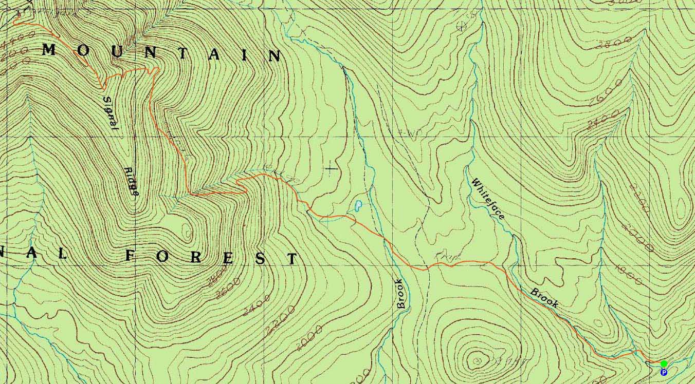
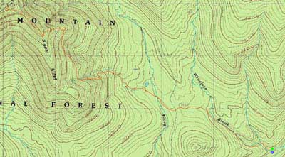
The Signal Ridge Trail
Route: Signal Ridge Trail
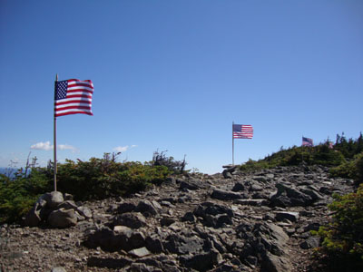
For "Flags on the 48," a memorial hike for September 11th, we had the honor and privilege to fly the United States flag from Mt. Carrigain.
With brisk temperatures at the start, we worked our way up the Signal Ridge Trail. Of note was the emergence of a beaver dam just after the water crossing beyond the Carrigain Notch Trail junction - this could make things interesting in the future if it continues to grow.
Upon reaching Signal Ridge, we set up some smaller flags along the ridge, then worked our way up to the initially cold and windy summit.
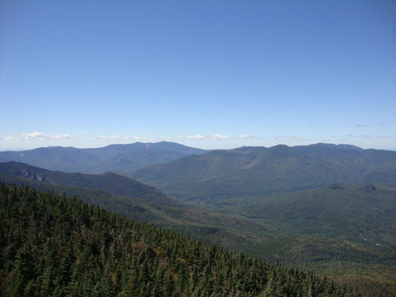
From the observation tower, we had 100 mile views in all directions - barely a cloud in the sky. Peaks in Maine, Vermont, and southern New Hampshire were all easily seen.
The flag went up just over an hour early and flew until 2 PM. The Pledge of Allegiance was recited, the Star Spangled Banner sung, and a Moment of Silence observed. Dozens of other hikers were at the summit throughout the afternoon as the temperature rose and the winds subsided.
While it's just a small act to fly these flags from the 48 4,000 foot peaks in the White Mountains, it is how hundreds of hikers unite to remember those who died on September 11th and in subsequent military operations, as well as send a message to those who attacked our country and want to take away our lives and freedom - we will never forget and we will never give in.
| Hike Ratings |
|
Getting To Trailhead: |
Easy |
| Destination: |
Mt. Carrigain |
|
Length: |
Difficult |
|
Steepness: |
Difficult |
|
Navigation: |
Moderate |
|
Views: |
Excellent |
|
Crowds: |
Heavy |
|
| Hike Stats |
|
Date Hiked: |
Saturday, September 11, 2010 |
| Hike Commenced: |
7:42 AM |
| Parking Elevation: |
1,370' |
| Destination: |
Mt. Carrigain |
| Ascent Commenced: |
7:43 AM |
| Summit Reached: |
10:24 AM |
| Time Elapsed: |
02:41 |
| Trailhead Elevation: |
1,370' |
| Summit Elevation: |
4,700' |
| Distance: |
5 miles |
| Vertical Gain: |
3,430' |
|
|
| Hike Ended: |
4:45 PM |
| Hike Time Elapsed: |
09:03 |
| Hike Distance: |
10 miles |
| Hike Vertical Gain: |
3,540' |
|
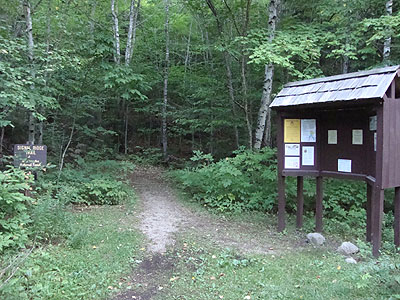
Signal Ridge Trail trailhead on Sawyer River Road
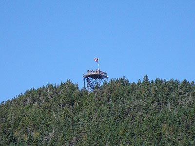
Looking at Mt. Carrigain from the Signal Ridge Trail
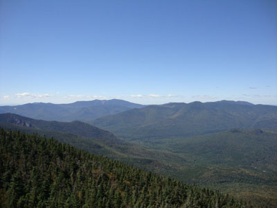
Looking the Franconia Ridge and the Bonds from the Mt. Carrigain summit lookout tower

Directions to trailhead: Take Route 302 West from Bartlett to Sawyer River Road. WMNF fee parking lot is a few minutes up the dirt road on the left. Trailhead is across the road.
Back to Mt. Carrigain Profile
|