Home
States
Colorado
Connecticut
Maine
Massachusetts
New Hampshire
New York
Rhode Island
Utah
Vermont
View All
Lists
NE 4,000 Footers
NE 100 Highest
NH 4,000 Footers
NH 100 Highest
NH 52 With A View
NH Belknap Range
NH Ossipee 10
Links
Trail Conditions
Trip Log
Sunrises
Sunsets
About
|
Mt. Clough
Benton, NH
Trailheads, measurements, times, distances, and maps are all approximate and relative to the hike(s) as shown below.
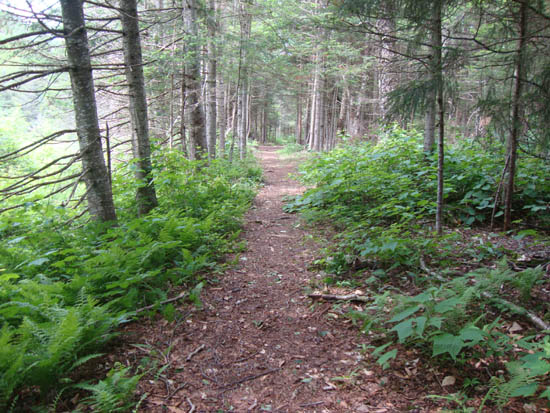
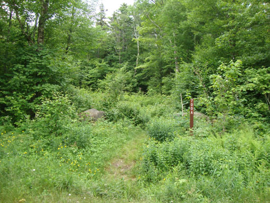
The Tunnel Brook Trail
Route: Tunnel Brook Trail, bushwhack, (Mt. Clough), bushwhack, Tunnel Brook Trail
A plan B hike due to a worse-than-forecasted weather, I decided to give Mt. Clough a go. Once some rain started, I altered this plan and instead headed to Mud Pond.
On the return trip, I saw a brief break of sun, so I headed back toward the northernmost pond, then started bushwhacking. The footing was poor (lots of rocks and hidden holes) and eventually quite steep, as I worked my way around some slides.
Eventually reaching less steep terrain, the woods opened a bit, making for smoother sailing to the recognized highpoint.
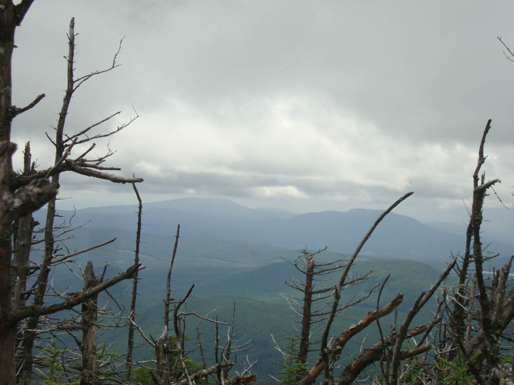
After checking out some views from a blowdown patch, I descended via a northeastern drainage - decent going at first, but then poor footing as I neared the brook. Once the grades eased, I was able to push into open woods with better footing back to the trail.
| Hike Ratings |
|
Getting To Trailhead: |
Easy |
| Destination: |
Mt. Clough |
|
Length: |
Moderate |
|
Steepness: |
Very Difficult |
|
Navigation: |
Difficult |
|
Views: |
Moderate |
|
Crowds: |
Minimal |
|
| Hike Stats |
|
Date Hiked: |
Sunday, June 26, 2011 |
| Parking Elevation: |
1,880' |
| Destination: |
Mt. Clough |
| Time Elapsed: |
02:37 |
| Trailhead Elevation: |
1,880' |
| Summit Elevation: |
3,561' |
| Vertical Gain: |
1,861' |
|
|
| Hike Time Elapsed: |
04:02 |
| Hike Vertical Gain: |
1,861' |
|
The Tunnel Brook Trail north trailhead
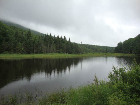
Mud Pond
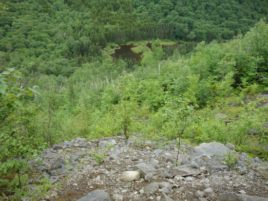
Looking down one of the slides on the way up Mt. Clough
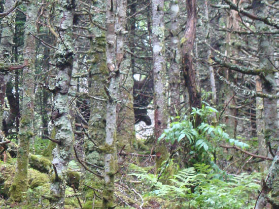
A pair of moose hiding in the trees on the way up Mt. Clough

Looking at Smarts Mountain and Mt. Cube from a blowdown patch near the summit of Mt. Clough
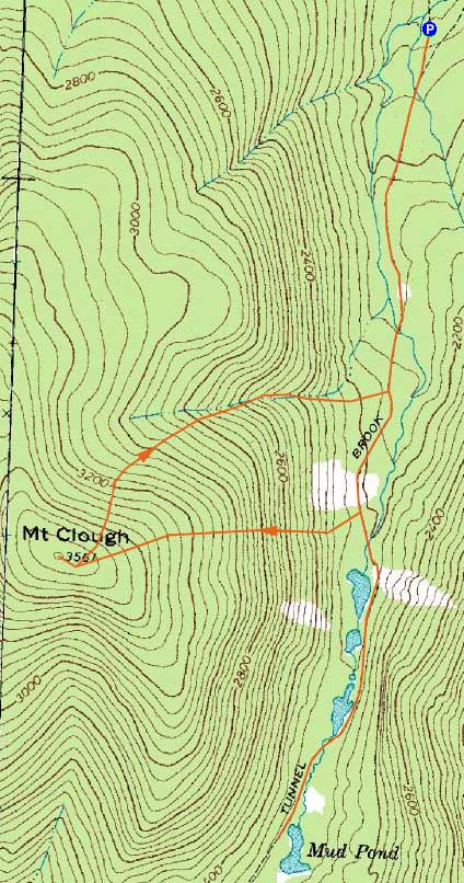

Directions to trailhead: Take Route 112 west from Woodstock over Kinsman Notch. Tunnel Brook Road will eventually be on the left. The Tunnel Brook Trail starts at the far end of the road.
Back to Mt. Clough Profile
|