Home
States
Colorado
Connecticut
Maine
Massachusetts
New Hampshire
New York
Rhode Island
Utah
Vermont
View All
Lists
NE 4,000 Footers
NE 100 Highest
NH 4,000 Footers
NH 100 Highest
NH 52 With A View
NH Belknap Range
NH Ossipee 10
Links
Trail Conditions
Trip Log
Sunrises
Sunsets
About
|
Mt. Clough
Benton, NH
Trailheads, measurements, times, distances, and maps are all approximate and relative to the hike(s) as shown below.
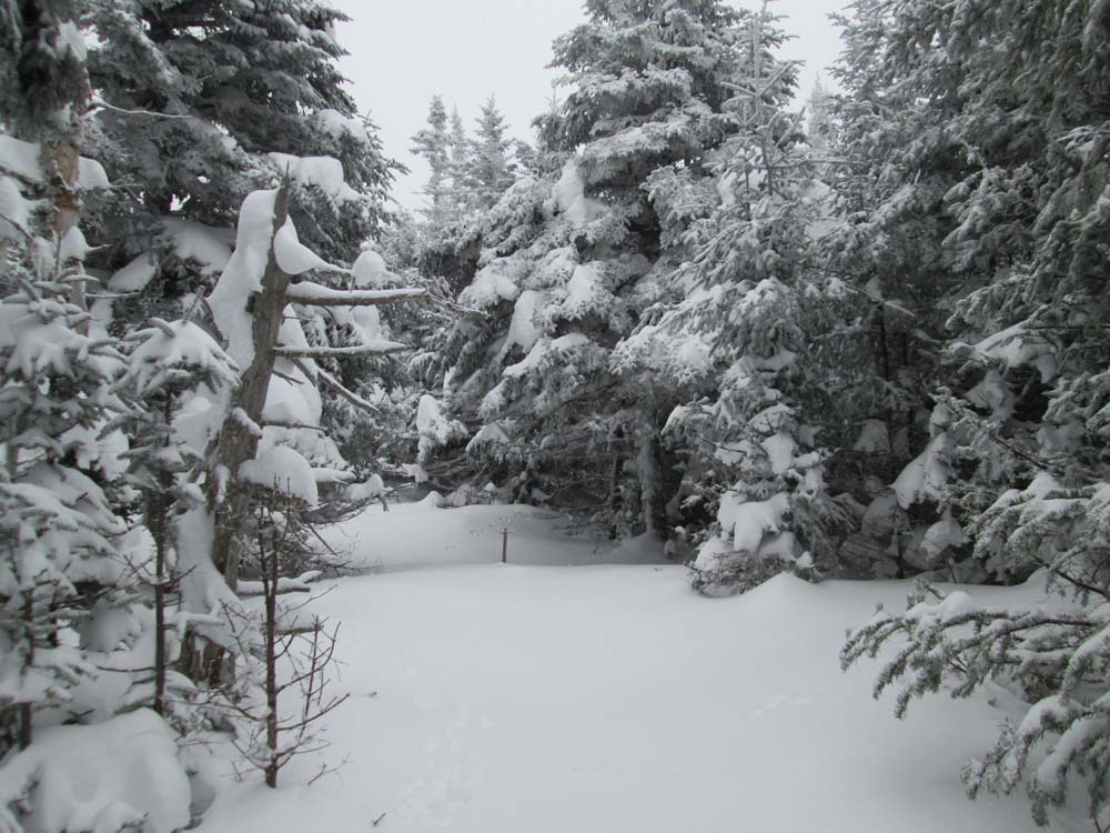
Open woods on the lower slopes of Mt. Clough
Route: High Street, Long Pond Road, bushwhack
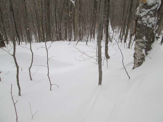
Long Pond Road was initially unbroken this morning, with about 6-8" of powder on top of a packed base. Upon returning, snowmobile traffic had packed it down a bit. Blueberry Mountain and Tunnel Brook Trails had no tracks.
We started bushwhacking just before the bridge, southwest of Mt. Clough. The minute we stepped off the roadbed, we were in 2 feet of powder. We had extended open hardwoods.
Eventually reaching softwoods (a few icy areas near small cliffs), some pockets had belt deep snow. We hit a few brief thicker areas, as well as occasional blowdown, but otherwise had pretty good going all the way to the recognized highpoint. Snow flurries obscured the near summit views.
| Hike Ratings |
|
Getting To Trailhead: |
Difficult |
| Destination: |
Mt. Clough |
|
Length: |
Moderate |
|
Steepness: |
Difficult |
|
Navigation: |
Difficult |
|
Views: |
Minimal (due to weather) |
|
Crowds: |
Minimal |
|
| Hike Stats |
|
Date Hiked: |
Saturday, February 15, 2014 |
| Parking Elevation: |
1,530' |
| Time Elapsed: |
01:11 |
| Destination: |
Mt. Clough |
| Time Elapsed: |
02:42 |
| Trailhead Elevation: |
2,000' |
| Summit Elevation: |
3,561' |
| Vertical Gain: |
1,581' |
|
|
| Hike Time Elapsed: |
06:13 |
| Hike Vertical Gain: |
2,455' |
|
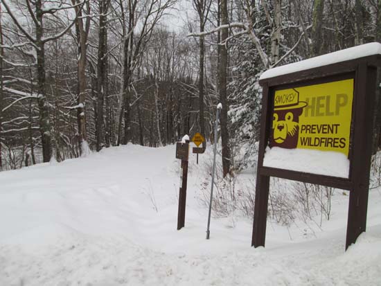
The start of Long Pond Road
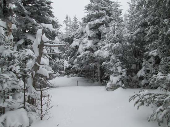
Snow flurries on Mt. Clough
Directions to trailhead: Take Route 25 West from Plymouth to Glencliff. Take a right onto High Street. In winter, Long Pond Road is not plowed. One may be able to find a place to park nearby, or at the Glencliff Trail parking area a few minutes up High Street on the right.
Back to Mt. Clough Profile
|