Home
States
Colorado
Connecticut
Maine
Massachusetts
New Hampshire
New York
Rhode Island
Utah
Vermont
View All
Lists
NE 4,000 Footers
NE 100 Highest
NH 4,000 Footers
NH 100 Highest
NH 52 With A View
NH Belknap Range
NH Ossipee 10
Links
Trail Conditions
Trip Log
Sunrises
Sunsets
About
|
Mt. Crag
Shelburne, NH
Trailheads, measurements, times, distances, and maps are all approximate and relative to the hike(s) as shown below.
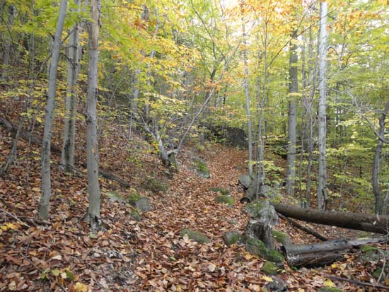
The Yellow Trail
Route: Austin Brook Trail, Yellow Trail
Trails were damp from a passing shower, but otherwise not bad. Funny stuffed animal display on the Yellow Trail.
Still some decent foliage in this area.
| Hike Ratings |
|
Getting To Trailhead: |
Easy |
| Destination: |
Mt. Crag |
|
Length: |
Moderate |
|
Steepness: |
Moderate |
|
Navigation: |
Easy |
|
Views: |
Excellent |
|
Crowds: |
Moderate |
|
| Hike Stats |
|
Date Hiked: |
Sunday, October 14, 2012 |
| Parking Elevation: |
1,325' |
| Destination: |
Mt. Crag |
| Time Elapsed: |
00:20 |
| Trailhead Elevation: |
730' |
| Summit Elevation: |
1,412' |
| Distance: |
1.2 miles |
| Vertical Gain: |
682' |
|
|
| Hike Time Elapsed: |
00:42 |
| Hike Distance: |
2.4 miles |
| Hike Vertical Gain: |
682' |
|
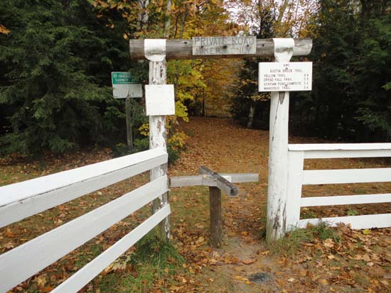
The Austin Brook Trail trailhead
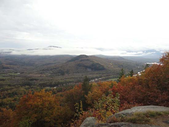
Looking toward Shelburne Moriah Mountain from Mt. Crag
Directions to trailhead: Take US 2 East from Gorham, then take a left onto North Road. The Austin Brook Trail trailhead will be on the left, just before the brook. There is a small pull off for parking on the right.
Back to Mt. Crag Profile
|

