Home
States
Colorado
Connecticut
Maine
Massachusetts
New Hampshire
New York
Rhode Island
Utah
Vermont
View All
Lists
NE 4,000 Footers
NE 100 Highest
NH 4,000 Footers
NH 100 Highest
NH 52 With A View
NH Belknap Range
NH Ossipee 10
Links
Trail Conditions
Trip Log
Sunrises
Sunsets
About
|
Mt. Eisenhower
Bean's Grant, NH, Chandler's Purchase, NH, Sargent's Purchase, NH
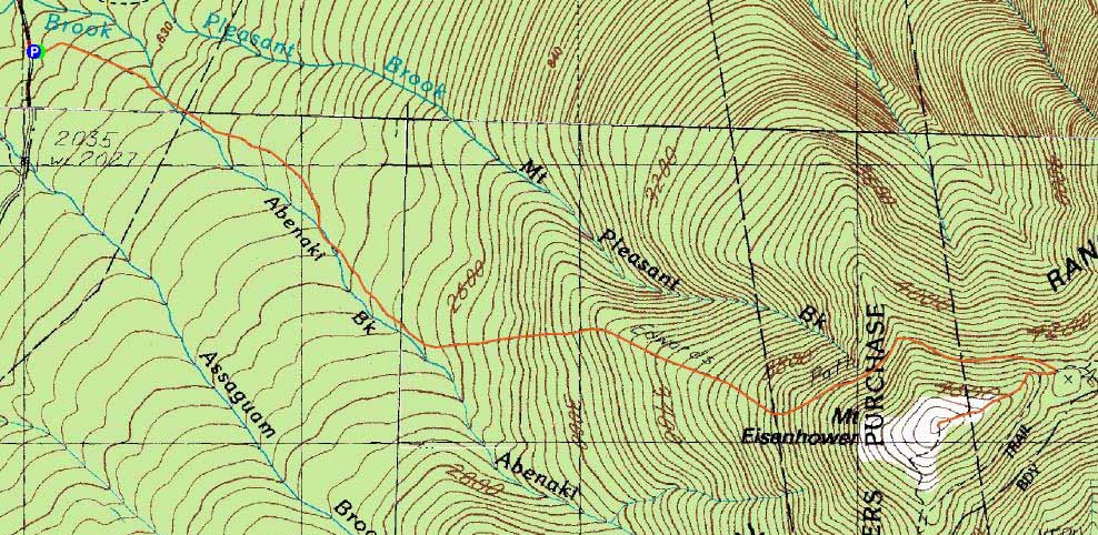
Trailheads, measurements, times, distances, and maps are all approximate and relative to the hike(s) as shown below.
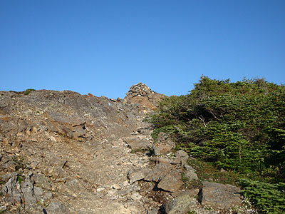
Looking up the Edmands Path
Route: Edmands Path, Eisenhower Loop, (Mt. Eisenhower), Eisenhower Loop, Edmands Path
After some heavy overnight rain, the Edmands Path was a bit muddy. Though the trail was crowded during the ascent, I had the summit and descent to myself. While the temperature was around 80 degrees when I started, the summit temperature looked to be in the lower 50s with a light but brisk wind.
The return drive on Mt. Clinton Road took longer than usual, as a bull moose decided to trot down the road for awhile.
| Hike Ratings |
|
Getting To Trailhead: |
Easy |
| Destination: |
Mt. Eisenhower |
|
Length: |
Moderate |
|
Steepness: |
Moderate |
|
Navigation: |
Easy |
|
Views: |
Excellent |
|
Crowds: |
Heavy |
|
| Hike Stats |
|
Date Hiked: |
Monday, August 3, 2009 |
| Hike Commenced: |
5:16 PM |
| Parking Elevation: |
1,975' |
| Destination: |
Mt. Eisenhower |
| Ascent Commenced: |
5:16 PM |
| Summit Reached: |
6:44 PM |
| Time Elapsed: |
01:28 |
| Trailhead Elevation: |
1,980' |
| Summit Elevation: |
4,780' |
| Distance: |
3.3 miles |
| Vertical Gain: |
2,860' |
|
|
| Hike Ended: |
8:42 PM |
| Hike Time Elapsed: |
03:26 |
| Hike Distance: |
6.6 miles |
| Hike Vertical Gain: |
2,925' |
|
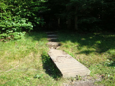
The Edmands Path trailhead
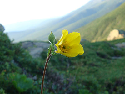
An alpine flower on the Eisenhower Loop

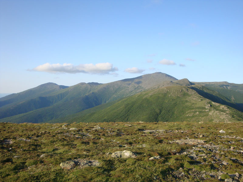
Looking at Mt. Jefferson, Mt. Reagan, Mt. Washington, and Mt. Monroe from near the Mt. Eisenhower summit
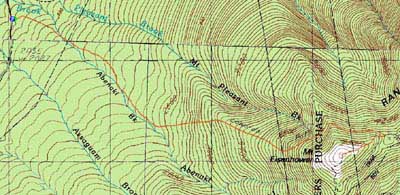

Directions to trailhead: Take Route 302 West from Bartlett into Carroll. Just after Saco Lake, take a right onto Mt. Clinton Road. Take this road for a few minutes. The Edmand Path trailhead and small WMNF fee parking area will be on the right.
Back to Mt. Eisenhower Profile
|