Home
States
Colorado
Connecticut
Maine
Massachusetts
New Hampshire
New York
Rhode Island
Utah
Vermont
View All
Lists
NE 4,000 Footers
NE 100 Highest
NH 4,000 Footers
NH 100 Highest
NH 52 With A View
NH Belknap Range
NH Ossipee 10
Links
Trail Conditions
Trip Log
Sunrises
Sunsets
About
|
Mt. Eisenhower
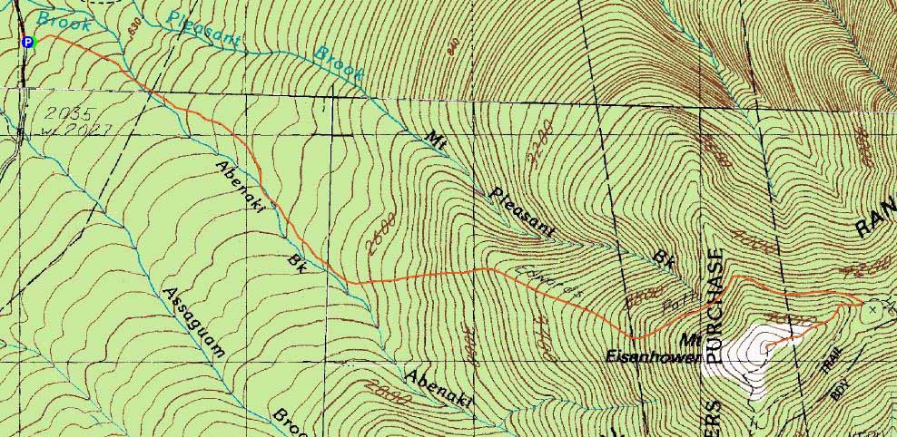
Bean's Grant, NH, Chandler's Purchase, NH, Sargent's Purchase, NH
Trailheads, measurements, times, distances, and maps are all approximate and relative to the hike(s) as shown below.
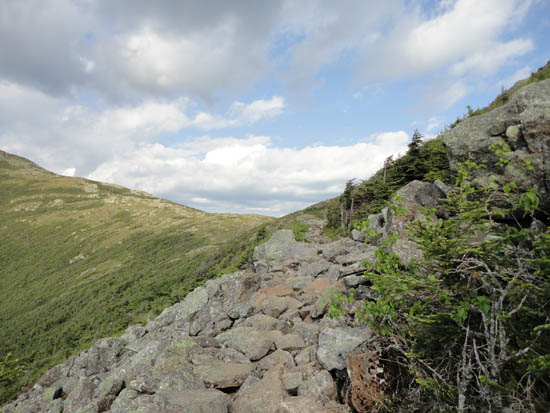
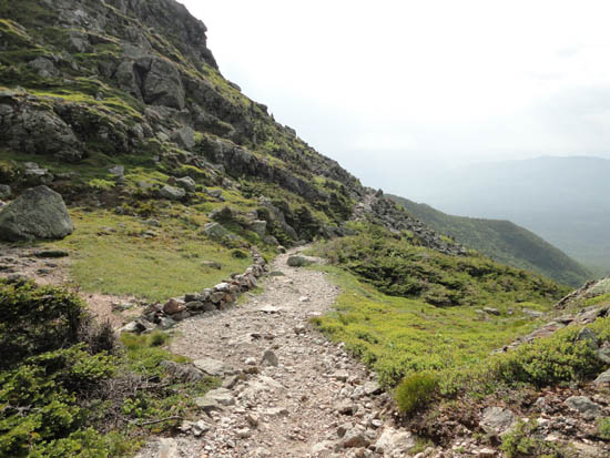
Looking up the Edmands Path
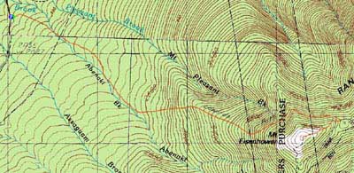
Route: Edmands Path, Eisenhower Loop, (Mt. Eisenhower), Eisenhower Loop, Edmands Path
Limited time due to a slow, incoming thunderstorm. Nonetheless, had partly sunny skies on the summit, making it about halfway down before light rain started.
| Hike Ratings |
|
Getting To Trailhead: |
Easy |
| Destination: |
Mt. Eisenhower |
|
Length: |
Moderate |
|
Steepness: |
Moderate |
|
Navigation: |
Easy |
|
Views: |
Excellent |
|
Crowds: |
Minimal |
|
| Hike Stats |
|
Date Hiked: |
Wednesday, June 15, 2011 |
| Parking Elevation: |
1,975' |
| Destination: |
Mt. Eisenhower |
| Time Elapsed: |
01:19 |
| Trailhead Elevation: |
1,980' |
| Summit Elevation: |
4,780' |
| Distance: |
3.3 miles |
| Vertical Gain: |
2,860' |
|
|
| Hike Time Elapsed: |
02:44 |
| Hike Distance: |
6.6 miles |
| Hike Vertical Gain: |
2,925' |
|
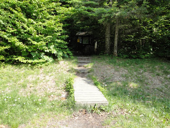
The Edmands Path trailhead
Looking down the Edmands Path

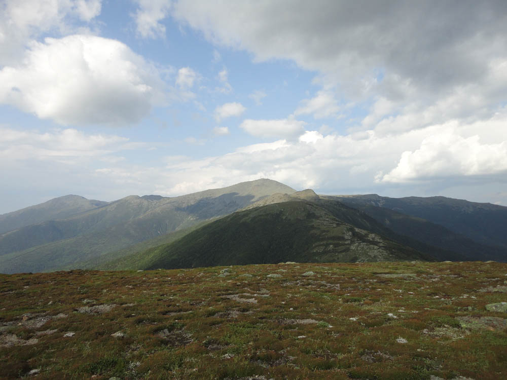
Looking at Mt. Jefferson, Mt. Reagan, Mt. Washington, and Mt. Monroe from Mt. Eisenhower

Directions to trailhead: Take Route 302 West from Bartlett into Carroll. Just after Saco Lake, take a right onto Mt. Clinton Road. Take this road for a few minutes. The Edmand Path trailhead and small WMNF fee parking area will be on the right.
Back to Mt. Eisenhower Profile
|