Home
States
Colorado
Connecticut
Maine
Massachusetts
New Hampshire
New York
Rhode Island
Utah
Vermont
View All
Lists
NE 4,000 Footers
NE 100 Highest
NH 4,000 Footers
NH 100 Highest
NH 52 With A View
NH Belknap Range
NH Ossipee 10
Links
Trail Conditions
Trip Log
Sunrises
Sunsets
About
|
Mt. Eisenhower
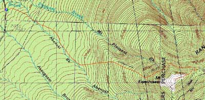
Bean's Grant, NH, Chandler's Purchase, NH, Sargent's Purchase, NH
Trailheads, measurements, times, distances, and maps are all approximate and relative to the hike(s) as shown below.
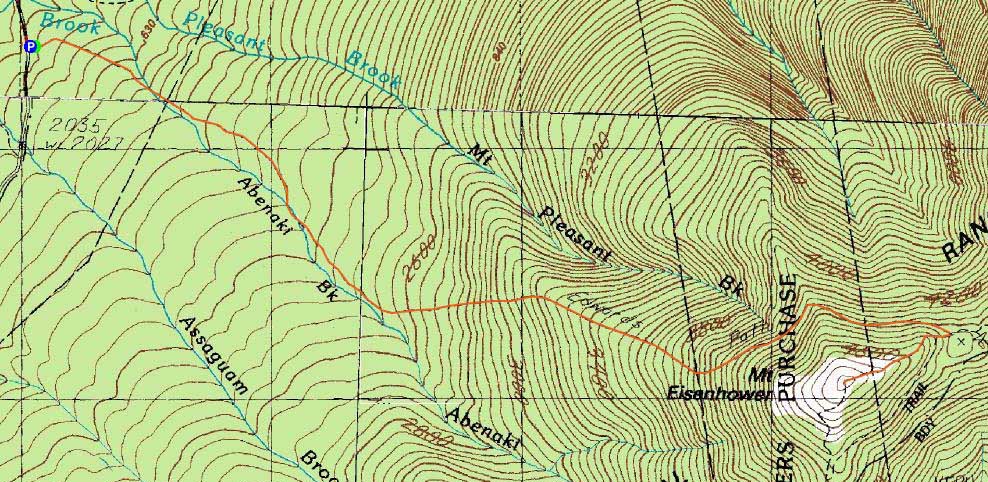
Looking up the Edmands Path
Route: Edmands Path, Eisenhower Loop, (Mt. Eisenhower), Eisenhower Loop, Edmands Path
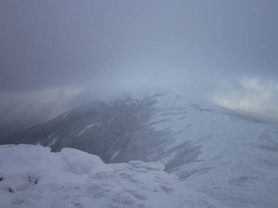
The mostly sunny forecast for the afternoon never came through. Cold and windy above treeline.
| Hike Ratings |
|
Getting To Trailhead: |
Easy |
| Destination: |
Mt. Eisenhower |
|
Length: |
Moderate |
|
Steepness: |
Moderate |
|
Navigation: |
Easy |
|
Views: |
Minimal (due to weather) |
|
Crowds: |
Moderate |
|
| Hike Stats |
|
Date Hiked: |
Sunday, January 8, 2012 |
| Parking Elevation: |
1,975' |
| Destination: |
Mt. Eisenhower |
| Time Elapsed: |
01:48 |
| Trailhead Elevation: |
1,980' |
| Summit Elevation: |
4,780' |
| Distance: |
3.3 miles |
| Vertical Gain: |
2,860' |
|
|
| Hike Time Elapsed: |
03:20 |
| Hike Distance: |
6.6 miles |
| Hike Vertical Gain: |
2,925' |
|
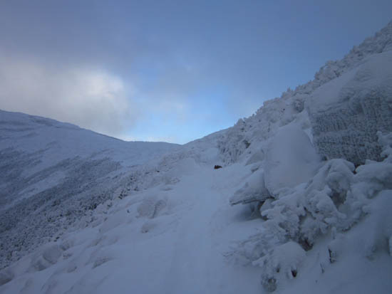
The Edmands Path trailhead
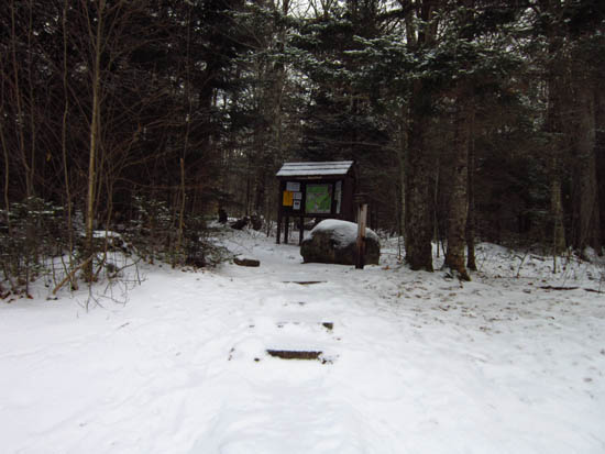
Looking at Mt. Franklin from the Eisenhower Loop

Directions to trailhead: Take Route 302 West from Bartlett into Carroll. Just after Saco Lake, take a right onto Mt. Clinton Road. Take this road for a few minutes. The Edmand Path trailhead and small WMNF fee parking area will be on the right. In early winter 2011-12, the road was not yet closed.
Back to Mt. Eisenhower Profile
|