Home
States
Colorado
Connecticut
Maine
Massachusetts
New Hampshire
New York
Rhode Island
Utah
Vermont
View All
Lists
NE 4,000 Footers
NE 100 Highest
NH 4,000 Footers
NH 100 Highest
NH 52 With A View
NH Belknap Range
NH Ossipee 10
Links
Trail Conditions
Trip Log
Sunrises
Sunsets
About
|
Mt. Field (West Peak)
Carroll, NH, Bethlehem, NH
Trailheads, measurements, times, distances, and maps are all approximate and relative to the hike(s) as shown below.
Bushwhacking to West Field
Route: Avalon Trail, A-Z Trail, Willey Range Trail, bushwhack
Some significant variance in last night's snowfall totals - maybe 4" in Ashland, 1" down low in Franconia, and perhaps 6"-8" at the trailhead. Larger amounts higher up.
Avalon and A-Z Trail up to the Mt. Tom col was packed out well for snowshoeing. Adequate snowpack (over a foot) and very little exposed ice. Mt. Tom Spur, Avalon Trail, Willey Range Trail, and A-Z Trail all appeared to be broken out as of end of day today.
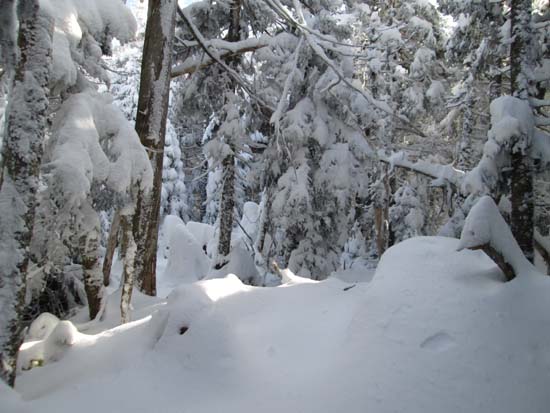
From the col, we headed up the Willey Range Trail, then dropped down toward West Field. In hindsight, we dropped off too soon, getting sucked down the fall line as we avoided some unsavory woods. We eventually had to slab hard. Not an efficient track at all. Snow depths ranged from 1 to 3 feet. Snowshoes absolutely needed.
We hugged the ridge for the return trip from West Field, ending up in good woods into and initially out of the col, however we hit some steep, thicker stuff higher up (probably should have slabbed toward Mt. Tom more aggressively), ending up on a small slide that had nice views. We eventually popped onto the Willey Range Trail and then headed back to the Mt. Tom col and out.
Dramatic change in temperatures during the day - above freezing south of Franconia Notch in the morning, upper 20s at the parking lot at the start, ending at 5 degrees with a nasty wind in the parking lot at the end.
| Hike Ratings |
|
Getting To Trailhead: |
Easy |
| Destination: |
West Field |
|
Length: |
Moderate |
|
Steepness: |
Difficult |
|
Navigation: |
Difficult |
|
Views: |
Minimal |
|
Crowds: |
Minimal |
|
| Hike Stats |
|
Date Hiked: |
Saturday, December 30, 2013 |
| Parking Elevation: |
1,900' |
| Destination: |
West Field |
| Time Elapsed: |
03:33 |
| Trailhead Elevation: |
1,900' |
| Summit Elevation: |
3,691' |
| Vertical Gain: |
2,391' |
|
|
| Hike Time Elapsed: |
06:50 |
| Hike Vertical Gain: |
3,041' |
|
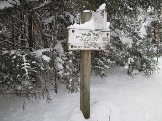
The Avalon Trail trailhead next to the train station
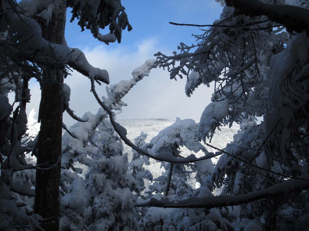
Slight views of Mt. Field near West Field
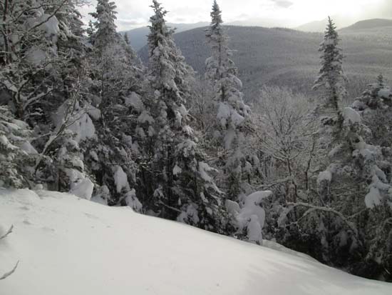
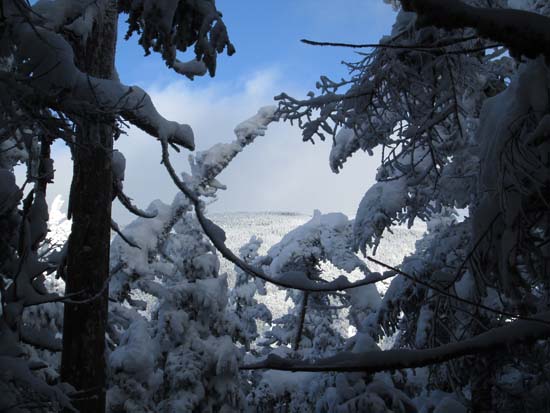
Looking back at West Field from a slide on Mt. Field
Directions to trailhead: Take Route 302 west from Bartlett, NH. There is day parking next to the railroad station (not always plowed in winter). Trailhead is across the tracks.
Back to Mt. Field (West Peak) Profile
|