Home
States
Colorado
Connecticut
Maine
Massachusetts
New Hampshire
New York
Rhode Island
Utah
Vermont
View All
Lists
NE 4,000 Footers
NE 100 Highest
NH 4,000 Footers
NH 100 Highest
NH 52 With A View
NH Belknap Range
NH Ossipee 10
Links
Trail Conditions
Trip Log
Sunrises
Sunsets
About
|
Mt. Flume, Mt. Liberty
Lincoln, NH
Trailheads, measurements, times, distances, and maps are all approximate and relative to the hike(s) as shown below.
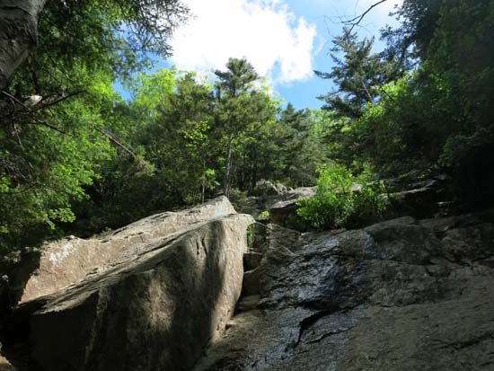
Looking up the Flume Slide Trail
Route: Bike path, Liberty Spring Trail, Flume Slide Trail, bushwhack, Flume Slide, (Mt. Flume), Franconia Ridge Trail, (Mt. Liberty), Franconia Ridge Trail, Liberty Spring Trail, bushwhack, bike path
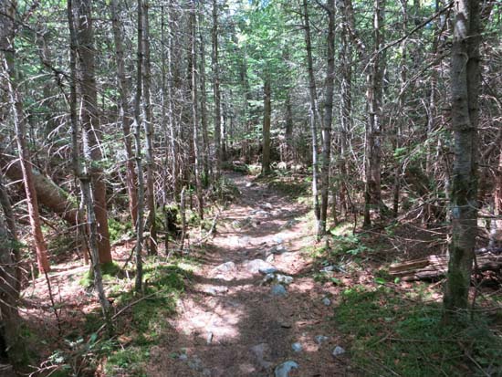
Herd path from bike path to Liberty Spring Trail (starts just north of a ferny meadow) was, once over the initial muck, dry and easy to follow.
Flume Slide Trail had some muck in places, but was generally dry. Some of the scramble slabs had water on them, making it a bit more challenging to ascend.
At around 3,300 feet in elevation, I slabbed north in mediocre woods (generally found a lane, but plenty of spruce) to near the bottom of the slides, then pushed uphill through some scrub to avoid the lower portions (large slabs with water running down them).
Initially I stuck with the southernmost finger of the slide, which was scree and fairly good going. In hindsight, I think I would follow this all the way up to the Franconia Ridge Trail, just south of the summit. Instead, I hopped over at about 4,000 feet to the slide that angles to the summit. This had much larger rocks and was very unsettled. I had to maintain four points of contact, as even some of the larger rocks were moving with a gentle touch. Near the top of it, I was somewhat cliffed out (could have probably cut back south along the contour along the top of the slides), so I had to scramble up a nearly vertical way for maybe 15 vertical feet up to the final little ridge leading to the highpoint.
The Franoncia Ridge Trail between the peaks was dry, but a bit brushy.
The Liberty Spring Trail was mostly dry and rather monotonous as usual.
| Hike Ratings |
|
Getting To Trailhead: |
Easy |
| Destination: |
Mt. Flume |
|
Length: |
Moderate |
|
Steepness: |
Very Difficult |
|
Navigation: |
Difficult |
|
Views: |
Excellent |
|
Crowds: |
Moderate |
| Destination: |
Mt. Liberty |
|
Length: |
Moderate |
|
Steepness: |
Difficult |
|
Navigation: |
Easy |
|
Views: |
Excellent |
|
Crowds: |
Heavy |
|
| Hike Stats |
|
Date Hiked: |
Saturday, June 21, 2014 |
| Parking Elevation: |
1,520' |
| Time to Trailhead: |
00:05 |
| Destination: |
Mt. Flume |
| Time Elapsed: |
03:02 |
| Trailhead Elevation: |
1,470' |
| Summit Elevation: |
4,328' |
| Vertical Gain: |
3,018' |
| Destination: |
Mt. Liberty |
| Time Elapsed: |
00:34 |
| Trailhead Elevation: |
4,328' |
| Summit Elevation: |
4,459' |
| Vertical Gain: |
609' |
|
|
| Hike Time Elapsed: |
06:17 |
| Hike Vertical Gain: |
3,747' |
|
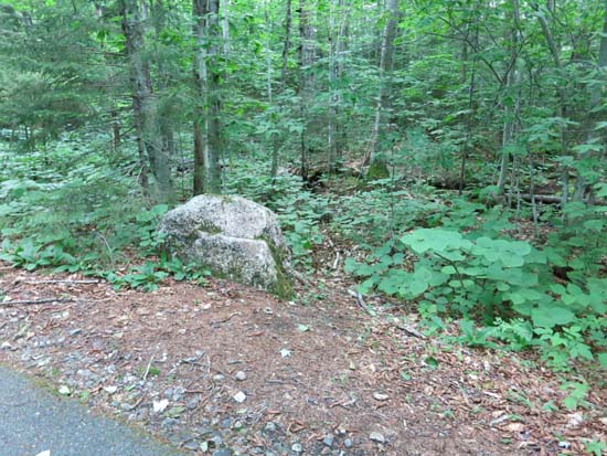
An entrance to the herd path to the Liberty Spring Trail hairpin turn
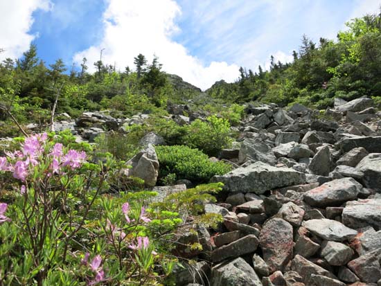
Looking up the Flume Slide
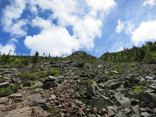
Looking up the Flume Slide
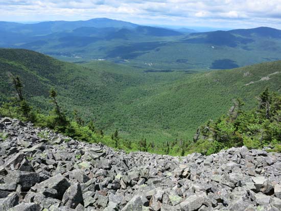
Looking down the Flume Slide
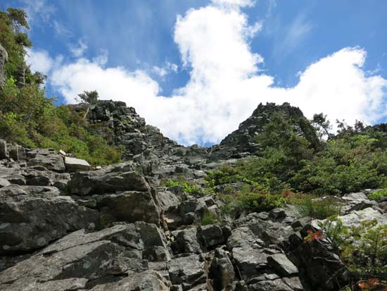
Looking up the Flume Slide

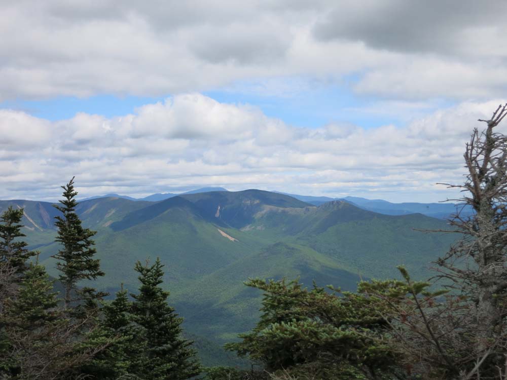
The Bonds as seen from Mt. Flume
The Franconia Ridge Trail between Mt. Flume and Mt. Liberty
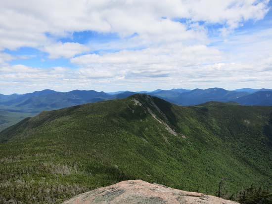
Looking at Mt. Flume from Mt. Liberty
Directions to trailhead: Take Interstate 93 north from Lincoln to the Basin. Walk south down the bike path - the Liberty Spring Trail will eventually be on the left.
Back to Mt. Flume Profile
Back to Mt. Liberty Profile
|