Home
States
Colorado
Connecticut
Maine
Massachusetts
New Hampshire
New York
Rhode Island
Utah
Vermont
View All
Lists
NE 4,000 Footers
NE 100 Highest
NH 4,000 Footers
NH 100 Highest
NH 52 With A View
NH Belknap Range
NH Ossipee 10
Links
Trail Conditions
Trip Log
Sunrises
Sunsets
About
|
Mt. Garfield
Bethlehem, NH, Franconia, NH
Trailheads, measurements, times, distances, and maps are all approximate and relative to the hike(s) as shown below.
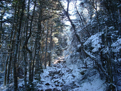
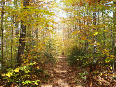
Looking up the Garfield Trail
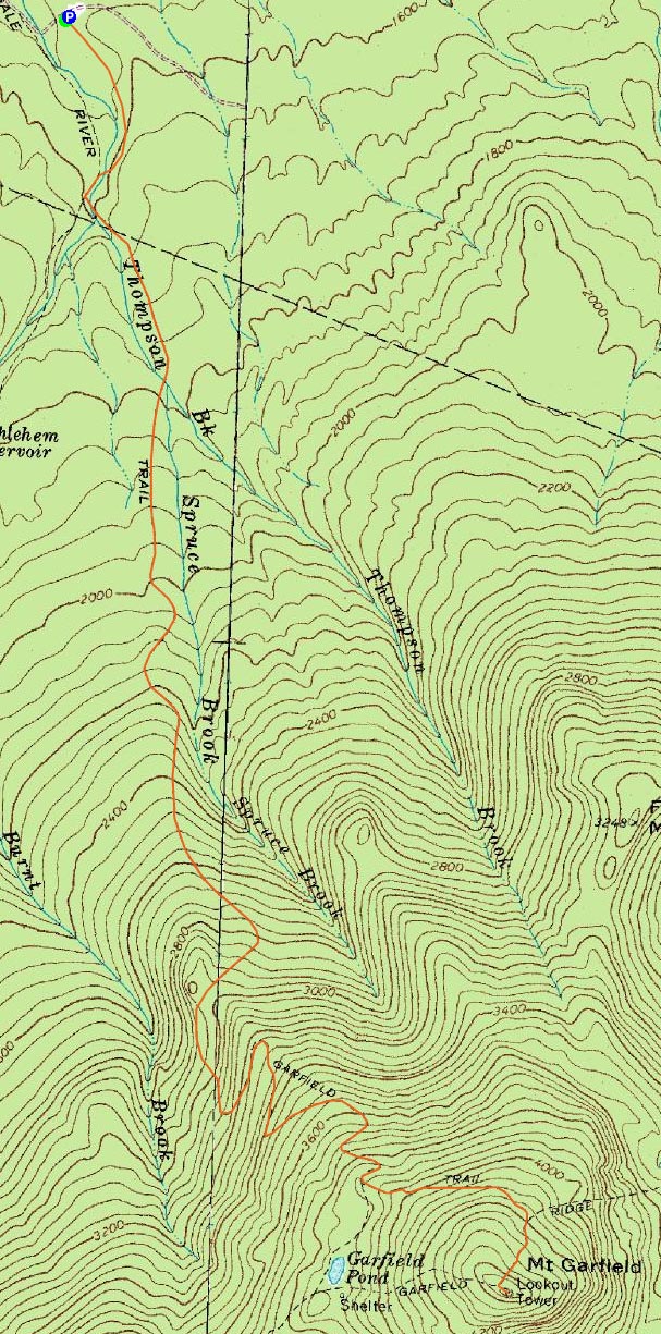
Route: Garfield Trail, Garfield Ridge Trail, (Mt. Garfield), Garfield Ridge Trail, Garfield
With a few hours off from work, hiking was on the agenda. I had originally planned to hike Mt. Garfield back in June, however Mt. Hale told my knee otherwise.
Starting at the Garfield Trail trailhead, I was only the second vehicle there - the other one, I inferred from the frost, was an overnighter.
After climbing up from the road, the Garfield Trail is very easy going for quite some time. In fact, all the way to the Garfield Ridge Trail junction (just below the summit), there is no more than a moderate pitch.
Down low the foliage was golden and the sun was poking through. The temperature at the trailhead was around 30 - the first below freezing start to a hike I've had since spring.
At maybe elevation 4,000, I noticed a white substance in the woods. Upon closer examination, it appeared to be a frozen substance referred to by the Mayans as "snow." The higher up I went, the more of this frozen precip I encountered - now on the trail. In fact, by the time I was going up the steep pitch of the Garfield Ridge Trail to the summit of Mt. Garfield, there was a good inch of this substance all over the place. I'm not sure if this is a byproduct of global warming...I'll have to watch that Al Gore epic saga again and see if he explains it in between the car chases and shootouts.
I had the summit all to myself. In fact, I would only see two hikers (they were descending earlier in the hike) the entire day.
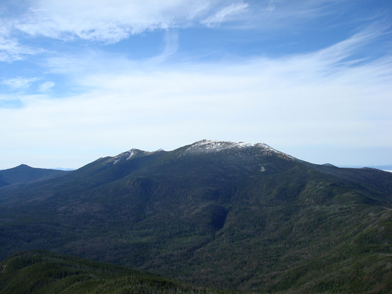
Despite being mid October, the Franconia Ridge, the Twins, and the Presidentials were all white. While there was still colour to the north of Mt. Garfield, the northern part of the Pemi below Garfield had no leaves left.
After having an early lunch, I headed back down. The tunes for this hike ranged from the Killers' Sam's Town, Moby's Play The B-Sides, The Zutons' Tired of Hanging Around, and Loose Fur's Born Again In The USA.
Once back at the trailhead, the temperature was 60 degrees - a 100% increase in just over 4 hours!
| Hike Ratings |
|
Getting To Trailhead: |
Easy |
| Destination: |
Mt. Garfield |
|
Length: |
Moderate |
|
Steepness: |
Difficult |
|
Navigation: |
Easy |
|
Views: |
Excellent |
|
Crowds: |
Minimal |
|
| Hike Stats |
|
Date Hiked: |
Wednesday, October 17, 2007 |
| Hike Commenced: |
8:42 AM |
| Parking Elevation: |
1,540' |
| Destination: |
Mt. Garfield |
| Ascent Commenced: |
8:43 AM |
| Summit Reached: |
10:44 AM |
| Time Elapsed: |
02:01 |
| Trailhead Elevation: |
1,535' |
| Summit Elevation: |
4,500' |
| Vertical Gain: |
3,055' |
|
|
| Hike Ended: |
1:21 PM |
| Hike Time Elapsed: |
04:39 |
| Hike Vertical Gain: |
3,150' |
|
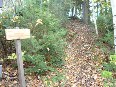
The Garfield Trail trailhead
Looking up the Garfield Trail

Looking southwest at Mt. Lafayette and Mt. Lincoln from the Mt. Garfield summit
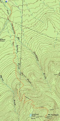

Directions to trailhead: Take Route 3 South from US 302. After passing the entrance for the Gale River camping/hiking area, take the next left. Head down this dirt road past a few camp sites. The WMNF fee hiker parking area is on the right, just after the Garfield Trail trailhead.
Back to Mt. Garfield Profile
|