Home
States
Colorado
Connecticut
Maine
Massachusetts
New Hampshire
New York
Rhode Island
Utah
Vermont
View All
Lists
NE 4,000 Footers
NE 100 Highest
NH 4,000 Footers
NH 100 Highest
NH 52 With A View
NH Belknap Range
NH Ossipee 10
Links
Trail Conditions
Trip Log
Sunrises
Sunsets
About
|
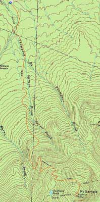
Mt. Garfield
Bethlehem, NH, Franconia, NH
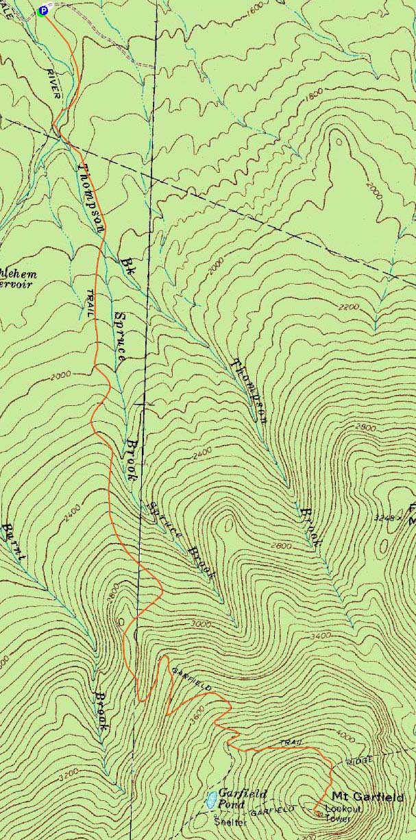
Trailheads, measurements, times, distances, and maps are all approximate and relative to the hike(s) as shown below.
Looking up the Garfield Trail
Route: Garfield Trail, Garfield Ridge Trail, (Mt. Garfield), Garfield Ridge Trail, Garfield
After consecutive long days on the trails, I took advantage of the rainy morning to take it easy and get some stuff done. Once things cleared up, I decided to head up and hike the generally gradual Garfield Trail to Mt. Garfield.
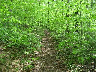
The lower portion of the trail was bursting with greenery. The water crossings were doable, though I did take the opportunity to look at the possible bypasses in high water (hang left before the first crossing, use the woods road bridge, cross over the Garfield Trail, take the other woods road bridge, then look back to the left onto the Garfield Trail).
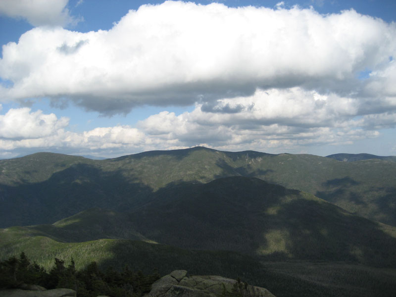
After a brief taste of snow and ice on the Garfield Ridge Trail, I was soon at the windy summit of Mt. Garfield. The views were quite good - a dramatic departure from the dreary morning weather.
Not a bad day for Mt. Garfield!
| Hike Ratings |
|
Getting To Trailhead: |
Easy |
| Destination: |
Mt. Garfield |
|
Length: |
Moderate |
|
Steepness: |
Difficult |
|
Navigation: |
Easy |
|
Views: |
Excellent |
|
Crowds: |
Moderate |
|
| Hike Stats |
|
Date Hiked: |
Sunday, May 24, 2009 |
| Hike Commenced: |
3:02 PM |
| Parking Elevation: |
1,540' |
| Destination: |
Mt. Garfield |
| Ascent Commenced: |
3:03 PM |
| Summit Reached: |
5:05 PM |
| Time Elapsed: |
02:02 |
| Trailhead Elevation: |
1,535' |
| Summit Elevation: |
4,500' |
| Vertical Gain: |
3,055' |
|
|
| Hike Ended: |
7:55 PM |
| Hike Time Elapsed: |
04:53 |
| Hike Vertical Gain: |
3,150' |
|
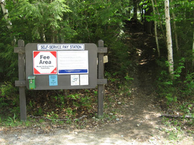
The Garfield Trail trailhead
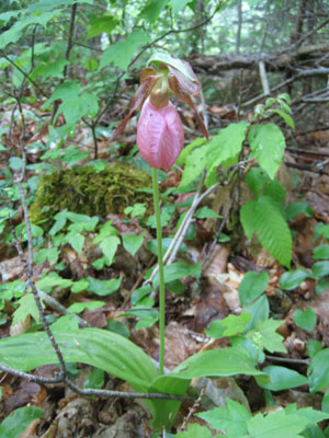
A lady slipper on the Garfield Trail

Looking southwest at South Twin from the Mt. Garfield summit

Directions to trailhead: Take Route 3 South from US 302. Due to bridges being out on the west end of Gale River Road, take a left onto Gale River Road at the Five Corners junction. Bear left at the first fork, then take a right at the second fork, passing the Gale River Trail parking area. A few minutes later, the Garfield Trail WMNF fee hiker parking area is on the left, just before the Garfield Trail trailhead.
Back to Mt. Garfield Profile
|