Home
States
Colorado
Connecticut
Maine
Massachusetts
New Hampshire
New York
Rhode Island
Utah
Vermont
View All
Lists
NE 4,000 Footers
NE 100 Highest
NH 4,000 Footers
NH 100 Highest
NH 52 With A View
NH Belknap Range
NH Ossipee 10
Links
Trail Conditions
Trip Log
Sunrises
Sunsets
About
|
Mt. Garfield
Bethlehem, NH, Franconia, NH
Trailheads, measurements, times, distances, and maps are all approximate and relative to the hike(s) as shown below.
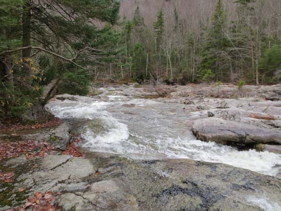
Looking up the abandoned lower Skookumchuck
Route: Bike path, herd paths, Skookumchuck Trail, Garfield Ridge Trail, Franconia Brook Trail, Twin Brook Trail, Frost Trail, Gale River Trail
Plan B due to higher winds and worse forecast than expected.
Last minute decision while spotting to try the old Skook Trail. Parked at Gallen Bridge lot (not particularly big, but plenty of room first thing in the morning), then took the bike path north to the Skook crossing. Saw an obvious herdpath down the embankment to the northeast side of the brook, but then it disappeared...pushed through open woods to an old snowmobile trail, then found the old trail just above it, which then made its way down to the brook. Good going all the way up to the current route.
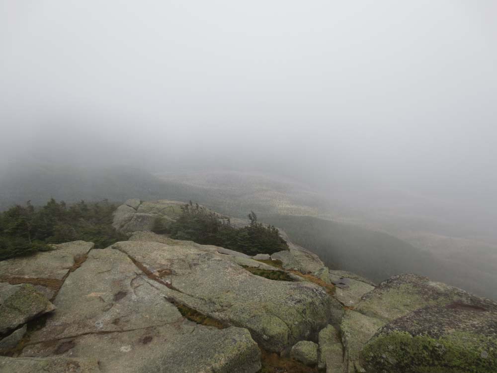
Wet, slippery rock on Garfield Ridge Trail. Both of us took falls. Normal cascade of water down the trail below Garfield camp site made for slow going.
Upper Franconia Brook Trail was also slow going, due to wet rocks and plenty of mud and running water. Camp sites caretaker setup closed for year.
Twin Brook Trail was okay down low, but monotonous higher up with less than savory footing in places. Decided to skip Galehead, as it wasn't needed and light rain was starting. Galehead Hut boarded up for winter.
Garfield Ridge Trail from there to Gale River Trail was much nicer than I remember it (still not an awesome trail, don't get me wrong), thanks to some newish rock staircases.
Gale River reroute was a mudpit. There were a few more rock features installed since my last trip on it last December, but still pretty mucky going.
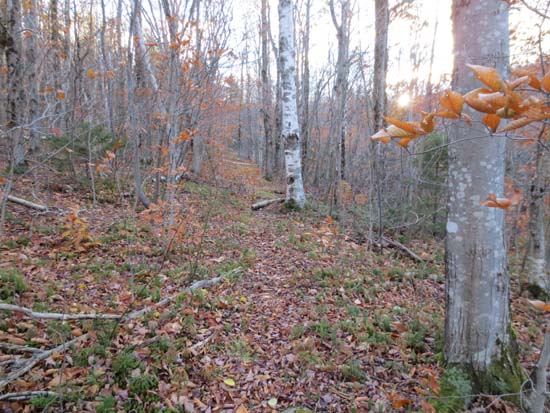
Pretty much all of the leaves in the area of this hike are down. No snow or ice encountered.
| Hike Ratings |
|
Getting To Trailhead: |
Difficult |
| Destination: |
Mt. Garfield |
|
Length: |
Difficult |
|
Steepness: |
Difficult |
|
Navigation: |
Difficult |
|
Views: |
Minimal (due to weather) |
|
Crowds: |
Minimal |
|
| Hike Stats |
|
Date Hiked: |
Sunday, October 21, 2012 |
| Parking Elevation: |
1,890' |
| Destination: |
Mt. Garfield |
| Time Elapsed: |
03:51 |
| Trailhead Elevation: |
1,890' |
| Summit Elevation: |
4,500' |
| Vertical Gain: |
3,810' |
|
|
| Hike Time Elapsed: |
10:14 |
| Hike Vertical Gain: |
5,120' |
|
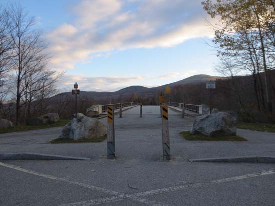
The bike path at Gov. Gallen Bridge
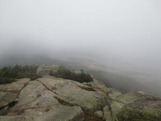
Fog as seen from Mt. Garfield
13 Falls
Directions to trailhead: Take I-93 North to Exit 34C and continue straight off the ramp to the Gov. Gallen Bridge. There is limited room for parking adjacent to the bridge.
Back to Mt. Garfield Profile
|