Home
States
Colorado
Connecticut
Maine
Massachusetts
New Hampshire
New York
Rhode Island
Utah
Vermont
View All
Lists
NE 4,000 Footers
NE 100 Highest
NH 4,000 Footers
NH 100 Highest
NH 52 With A View
NH Belknap Range
NH Ossipee 10
Links
Trail Conditions
Trip Log
Sunrises
Sunsets
About
|
Mt. Hale
Bethlehem, NH, Franconia, NH
Trailheads, measurements, times, distances, and maps are all approximate and relative to the hike(s) as shown below.
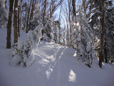
Looking up the Firewarden's Trail
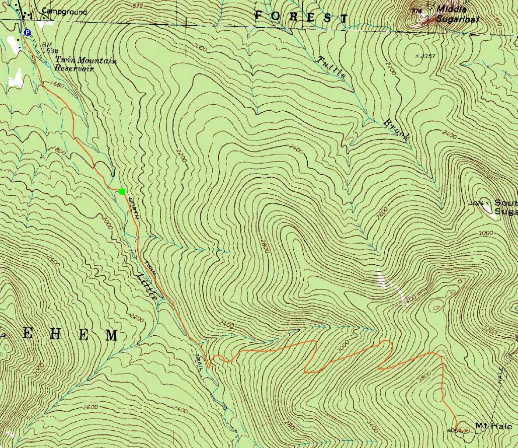
Route: Herd path, Haystack Road, North Twin Trail, herd path, Firewarden's Trail, (Mt. Hale), Firewarden's Trail, herd path, North Twin Trail, Haystack Road, herd path
As had been the trend for the past few days, it seemed like nicer than forecasted weather. After parking at the end of Little River Road, I walked across the bridge, took a sharp left, and headed up the herd path to the North Twin Trail. After taking the herd path bypass of the first North Twin Trail water crossing, I soon crossed the brook that later runs below the old Fire Warden's Trail. Shortly thereafter, I took the left turn and was on the old Jeep road.
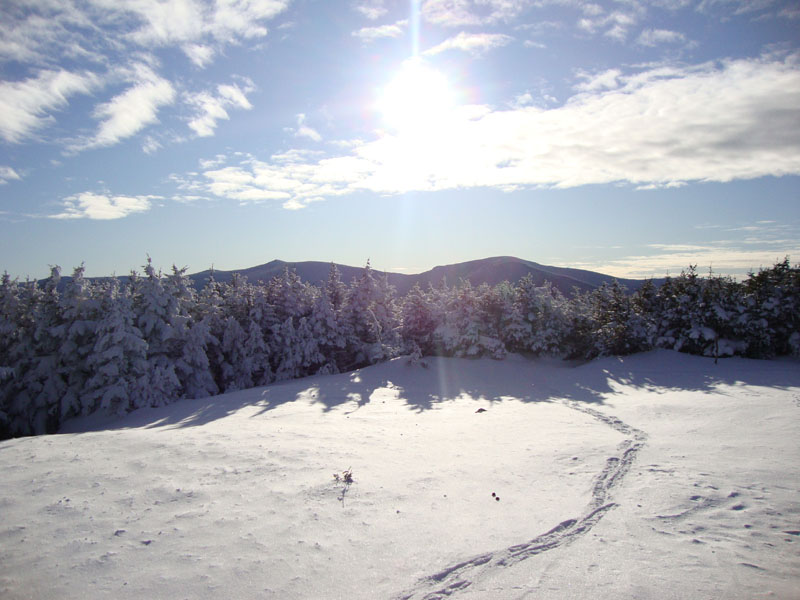
While there was little evidence of snowshoe traffic in the area, there were plenty of ski tracks. As I worked my way up the birch glades, the blue sky overhead was a nice site. Eventually entering the spruce up high, I had some views of Mt. Washington and later, the Green Mountains - not bad, considering there was little to see from the actual summit.
The descent went faster than expected, as I reached the road prior to sunset.
| Hike Ratings |
|
Getting To Trailhead: |
Difficult |
| Destination: |
Mt. Hale |
|
Length: |
Moderate |
|
Steepness: |
Difficult |
|
Navigation: |
Moderate |
|
Views: |
Excellent |
|
Crowds: |
Minimal |
|
| Hike Stats |
|
Date Hiked: |
Friday, February 12, 2010 |
| Hike Commenced: |
1:25 PM |
| Parking Elevation: |
1,620' |
| Destination: |
Mt. Hale |
| Ascent Commenced: |
1:50 PM |
| Summit Reached: |
3:28 PM |
| Time Elapsed: |
01:38 |
| Trailhead Elevation: |
1,800' |
| Summit Elevation: |
4,054' |
| Vertical Gain: |
2,324' |
|
|
| Hike Ended: |
5:01 PM |
| Hike Time Elapsed: |
03:36 |
| Hike Vertical Gain: |
2,604' |
|
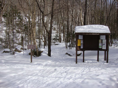
The North Twin Trail trailhead at the end of Haystack Road
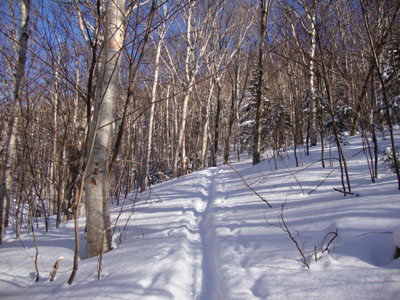
Looking up the Firewarden's Trail
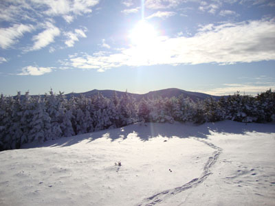
Looking at the South and North Twin from the Mt. Hale summit cairn
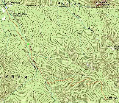

Directions to trailhead: In winter, from Route 302, take Route 3 South into Twin Mountain. Take a left onto Little River Road. As of winter 2009-2010, the end of the road had room for limited parking (no parking signs removed - 7 Dwarfs Motel offers alternative fee parking in winter), and the snowmobile bridge across the Little River had been rebuilt and reopened. After crossing this bridge, take an immediate sharp left turn onto a skier path, which then leads to Haystack Road, near the North Twin Trail trailhead.
Back to Mt. Hale Profile
|