Home
States
Colorado
Connecticut
Maine
Massachusetts
New Hampshire
New York
Rhode Island
Utah
Vermont
View All
Lists
NE 4,000 Footers
NE 100 Highest
NH 4,000 Footers
NH 100 Highest
NH 52 With A View
NH Belknap Range
NH Ossipee 10
Links
Trail Conditions
Trip Log
Sunrises
Sunsets
About
|
Mt. Hale
Bethlehem, NH, Franconia, NH
Trailheads, measurements, times, distances, and maps are all approximate and relative to the hike(s) as shown below.
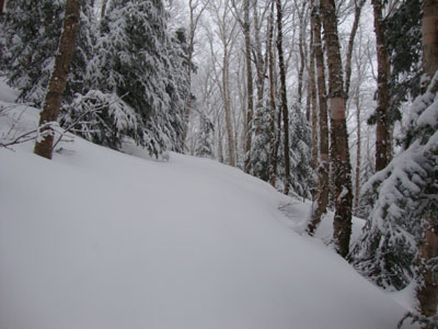
Looking up the Firewarden's Trail
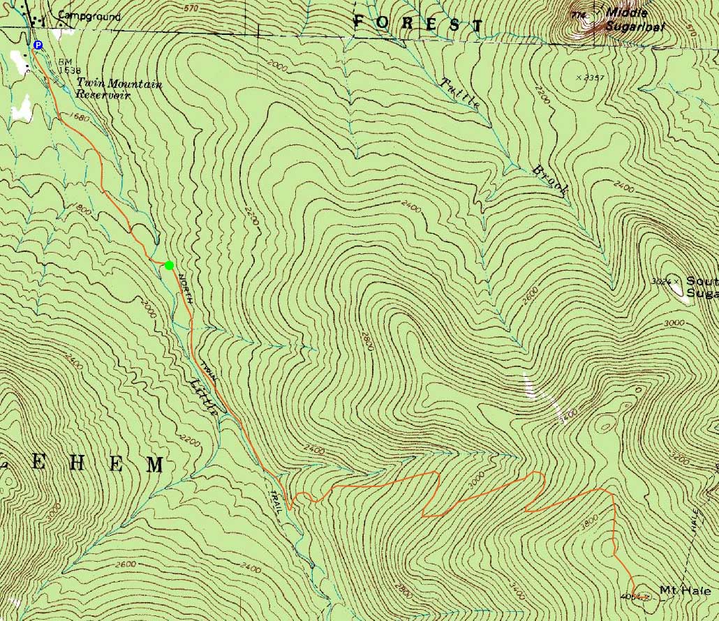
Route: Herd path, Haystack Road, North Twin Trail, herd path, Firewarden's Trail, (Mt. Hale), Firewarden's Trail, herd path, North Twin Trail, Haystack Road, herd path
With a less than splendid forecast, we opted to stay in the trees and go for a hike up the abandoned Firewarden's Trail.
Starting at the end of Little River Road, we crossed the bridge and headed up the herd path to the North Twin Trail trailhead, in an inch or so of new snow. After reaching the first crossing on the North Twin Trail, we beared left and followed a herdpath along the east side of Little River. Shortly after passing a small brook crossing, we took a left and climbed up the small embankment to the Firewarden's Trail.
After reaching the Tuttle Brook Trail junction, we donned snowshoes as the new snow had increased to about 4 inches, on top of old snow monorail. Nearing the Mt. Washington viewpoint (nothing to see, thanks to the light snow), new snow depths increased to about 6 inches.
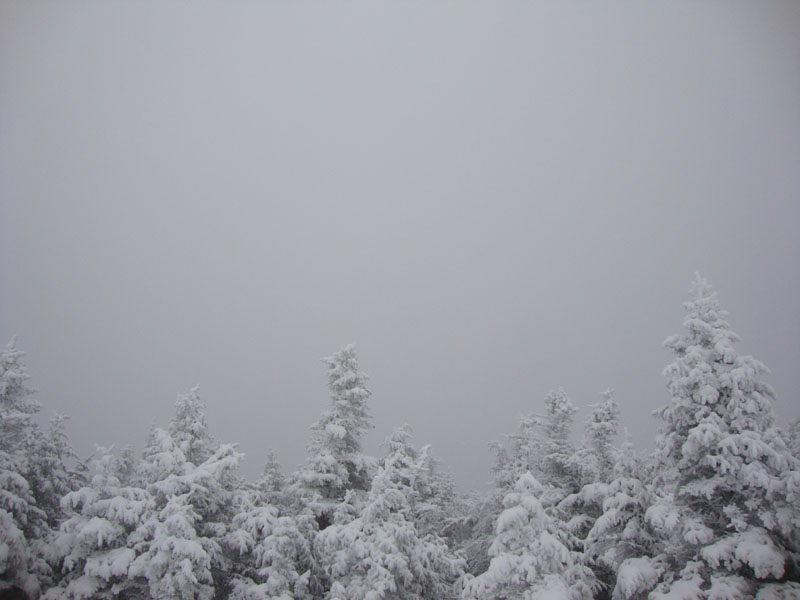
As expected, there weren't any views from the normally underwhelming summit viewpoint (on top of the cairn). After a brief break, descended along the same route, hitting rain somewhere near the North Twin Trail trailhead.
| Hike Ratings |
|
Getting To Trailhead: |
Difficult |
| Destination: |
Mt. Hale |
|
Length: |
Moderate |
|
Steepness: |
Difficult |
|
Navigation: |
Difficult |
|
Views: |
Minimal (due to weather) |
|
Crowds: |
Minimal |
|
| Hike Stats |
|
Date Hiked: |
Sunday, April 18, 2010 |
| Hike Commenced: |
8:32 AM |
| Parking Elevation: |
1,620' |
| Destination: |
Mt. Hale |
| Ascent Commenced: |
9:03 AM |
| Summit Reached: |
12:14 PM |
| Time Elapsed: |
03:11 |
| Trailhead Elevation: |
1,800' |
| Summit Elevation: |
4,054' |
| Vertical Gain: |
2,324' |
|
|
| Hike Ended: |
2:59 PM |
| Hike Time Elapsed: |
06:27 |
| Hike Vertical Gain: |
2,604' |
|
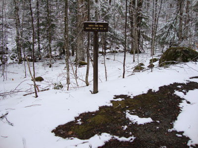
The North Twin Trail trailhead at the end of Haystack Road

A yellow violet along the herd path to the North Twin Trail trailhead
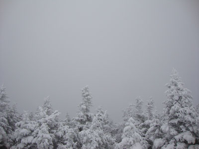
A lack of views from the Mt. Hale summit
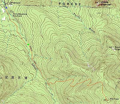

Directions to trailhead: In winter, from Route 302, take Route 3 South into Twin Mountain. Take a left onto Little River Road. As of winter 2009-2010, the end of the road had room for limited parking (no parking signs removed - 7 Dwarfs Motel offers alternative fee parking in winter), and the snowmobile bridge across the Little River had been rebuilt and reopened. After crossing this bridge, take an immediate sharp left turn onto a skier path, which then leads to Haystack Road, near the North Twin Trail trailhead.
Back to Mt. Hale Profile
|