Home
States
Colorado
Connecticut
Maine
Massachusetts
New Hampshire
New York
Rhode Island
Utah
Vermont
View All
Lists
NE 4,000 Footers
NE 100 Highest
NH 4,000 Footers
NH 100 Highest
NH 52 With A View
NH Belknap Range
NH Ossipee 10
Links
Trail Conditions
Trip Log
Sunrises
Sunsets
About
|
Mt. Hale
Bethlehem, NH
Trailheads, measurements, times, distances, and maps are all approximate and relative to the hike(s) as shown below.
The Firewarden's Trail
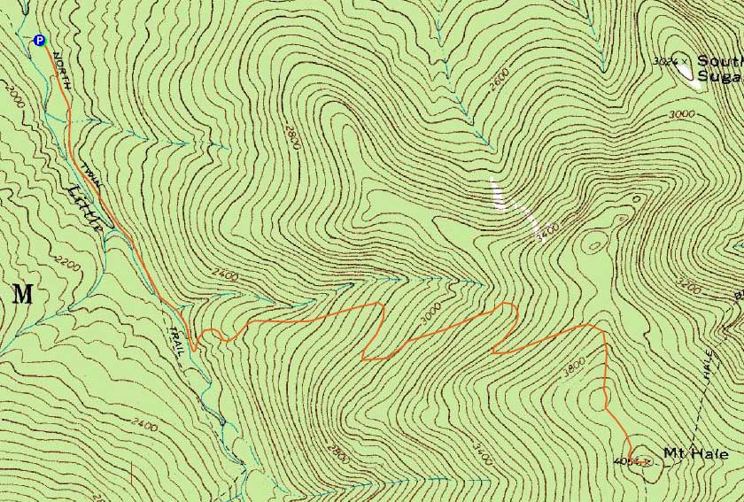
Route: North Twin Trail, herd path, Firewarden's Trail, (Mt. Hale), Firewarden's Trail, herd path, North Twin Trail
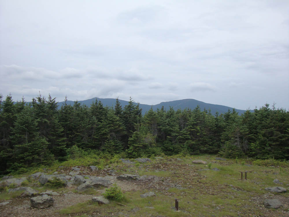
With limited time and subpar weather moving in, I jogged the North Twin Trail, subsequent herd path, and the lower flats on the Firewarden's Trail, then hiked from there to the summit of Mt. Hale, from where I had views (albeit limited due to the encroaching trees).
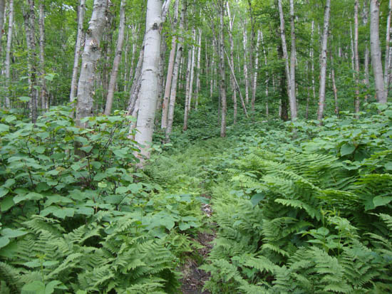
I jogged what I could on the descent, though I was forced to walk some parts due to the footbed being obscured by weeds. Nonetheless, I was able to make it back before the rains arrived.
| Hike Ratings |
|
Getting To Trailhead: |
Easy |
| Destination: |
Mt. Hale |
|
Length: |
Moderate |
|
Steepness: |
Moderate |
|
Navigation: |
Moderate |
|
Views: |
Moderate |
|
Crowds: |
Minimal |
|
| Hike Stats |
|
Date Hiked: |
Wednesday, June 22, 2011 |
| Parking Elevation: |
1,800' |
| Destination: |
Mt. Hale |
| Time Elapsed: |
01:06 |
| Trailhead Elevation: |
1,800' |
| Summit Elevation: |
4,054' |
| Vertical Gain: |
2,324' |
|
|
| Hike Time Elapsed: |
02:02 |
| Hike Vertical Gain: |
2,394' |
|
The North Twin Trail trailhead at the end of Haystack Road

The South and North Twin as seen from Mt. Hale


Directions to trailhead: From Route 302, take Route 3 South. Almost immediately after the Entering White Mountain National Forest, take a left onto Haystack Road. The WMNF fee parking area is at the end of the road, and the North Twin Trail trailhead is at the back of the lot.
Back to Mt. Hale Profile
|