Home
States
Colorado
Connecticut
Maine
Massachusetts
New Hampshire
New York
Rhode Island
Utah
Vermont
View All
Lists
NE 4,000 Footers
NE 100 Highest
NH 4,000 Footers
NH 100 Highest
NH 52 With A View
NH Belknap Range
NH Ossipee 10
Links
Trail Conditions
Trip Log
Sunrises
Sunsets
About
|
Mt. Hale
Bethlehem, NH
Trailheads, measurements, times, distances, and maps are all approximate and relative to the hike(s) as shown below.
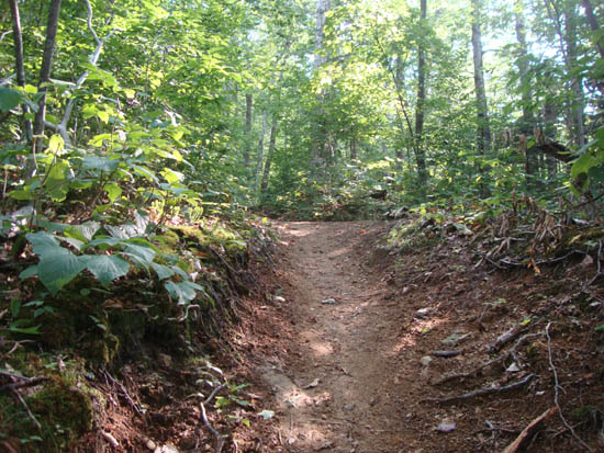
Looking up the Hale Brook Trail
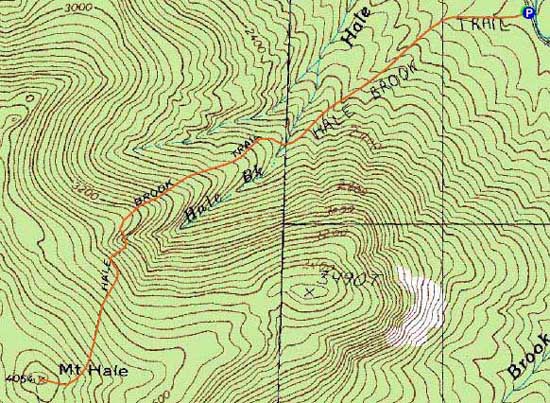
Route: Hale Brook Trail
The first portion of the trail had good footing, however the upper portion was somewhat rough as usual. Encroaching trees continue to take what's left of the views away.
| Hike Ratings |
|
Getting To Trailhead: |
Easy |
| Destination: |
Mt. Hale |
|
Length: |
Moderate |
|
Steepness: |
Difficult |
|
Navigation: |
Easy |
|
Views: |
Moderate |
|
Crowds: |
Minimal |
|
| Hike Stats |
|
Date Hiked: |
Thursday, August 18, 2011 |
| Parking Elevation: |
1,770' |
| Destination: |
Mt. Hale |
| Time Elapsed: |
00:52 |
| Trailhead Elevation: |
1,770' |
| Summit Elevation: |
4,054' |
| Distance: |
2.3 miles |
| Vertical Gain: |
2,304' |
|
|
| Hike Time Elapsed: |
01:47 |
| Hike Distance: |
4.6 miles |
| Hike Vertical Gain: |
2,324' |
|
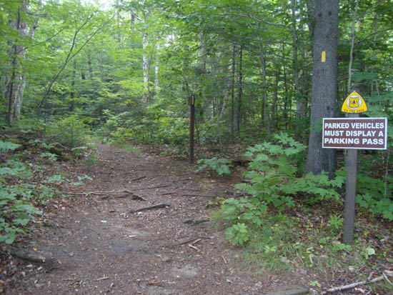
Hale Brook Trail trailhead
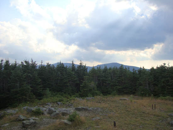
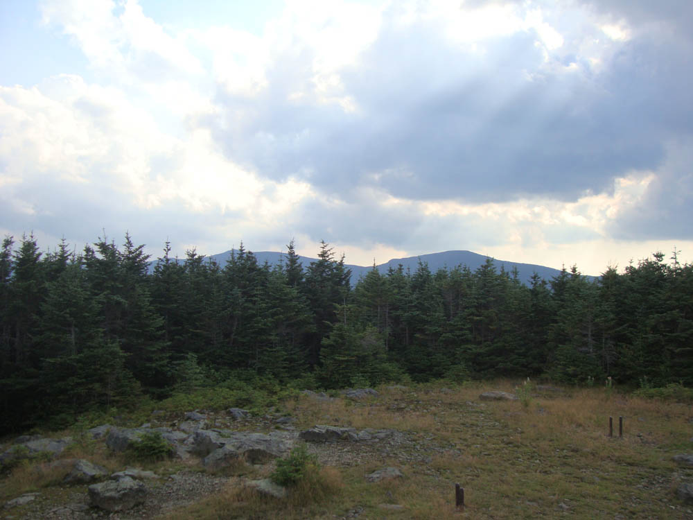
Looking at the Twins from the summit of Mt. Hale

Directions to trailhead: Take US 302 west from Bartlett past Bretton Woods Ski Area. A few minutes after, take a left onto Zealand Road. Continue up this road (turns to dirt) to the Hale Brook trailhead/small WMNF fee parking area (right side of the road).
Back to Mt. Hale Profile
|