Home
States
Colorado
Connecticut
Maine
Massachusetts
New Hampshire
New York
Rhode Island
Utah
Vermont
View All
Lists
NE 4,000 Footers
NE 100 Highest
NH 4,000 Footers
NH 100 Highest
NH 52 With A View
NH Belknap Range
NH Ossipee 10
Links
Trail Conditions
Trip Log
Sunrises
Sunsets
About
|
Mt. Hitchcock (South Peak), Mt. Hitchcock
Lincoln, NH
Trailheads, measurements, times, distances, and maps are all approximate and relative to the hike(s) as shown below.
Ascending a logging road on the way to South Hitchcock
Route: Forest Discovery Trail, logging road, bushwhack, (South Hitchcock), bushwhack, (Mt. Hitchcock), bushwhack, logging road, Forest Discovery Trail
Discovery Trail was broken out and appeared to be barebootable.
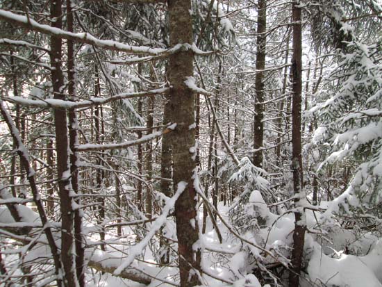
From a bench near the height of land, we hopped onto an old logging road, which we took for some time, eventually bushwhacking to a brook crossing, then steeply up South Hitchcock. Generally there was about 1-2 feet of snow on top of a consolidated base, but some areas had an underlying crust that made breaking slow going. Though not optimal, the woods weren't overly thick.
From South, we stayed on the ridge on open woods for awhile, before getting into some thicker stuff before reaching the summit. The snow was a bit more consolidated on the ridge, making for easier trail breaking in the flatter areas. From there, we retraced our tracks back out.
| Hike Ratings |
|
Getting To Trailhead: |
Easy |
| Destination: |
South Hitchcock |
|
Length: |
Difficult |
|
Steepness: |
Difficult |
|
Navigation: |
Difficult |
|
Views: |
Minimal |
|
Crowds: |
Minimal |
| Destination: |
Mt. Hitchcock |
|
Length: |
Difficult |
|
Steepness: |
Difficult |
|
Navigation: |
Difficult |
|
Views: |
Minimal |
|
Crowds: |
Minimal |
|
| Hike Stats |
|
Date Hiked: |
Sunday, March 16, 2014 |
| Parking Elevation: |
1,520' |
| Destination: |
South Hitchcock |
| Time Elapsed: |
03:59 |
| Trailhead Elevation: |
1,520' |
| Summit Elevation: |
3,500' |
| Vertical Gain: |
2,050' |
| Destination: |
Mt. Hitchcock |
| Time Elapsed: |
01:25 |
| Trailhead Elevation: |
3,500' |
| Summit Elevation: |
3,620' |
| Vertical Gain: |
320' |
|
|
| Hike Time Elapsed: |
8:26 |
| Hike Vertical Gain: |
2,520' |
|
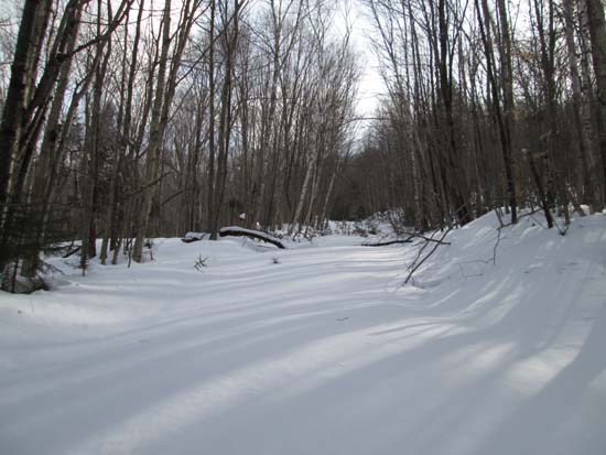
The Forest Discovery Trail trailhead
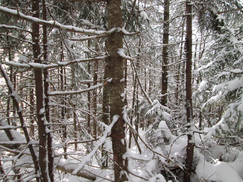
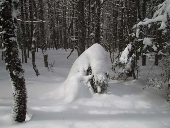
A lack of views on South Hitchcock
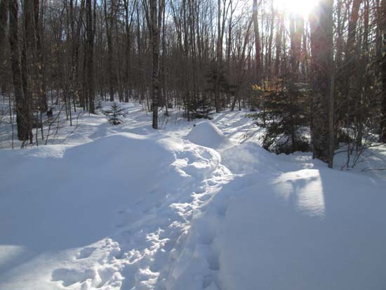
Bushwhacking between the peaks

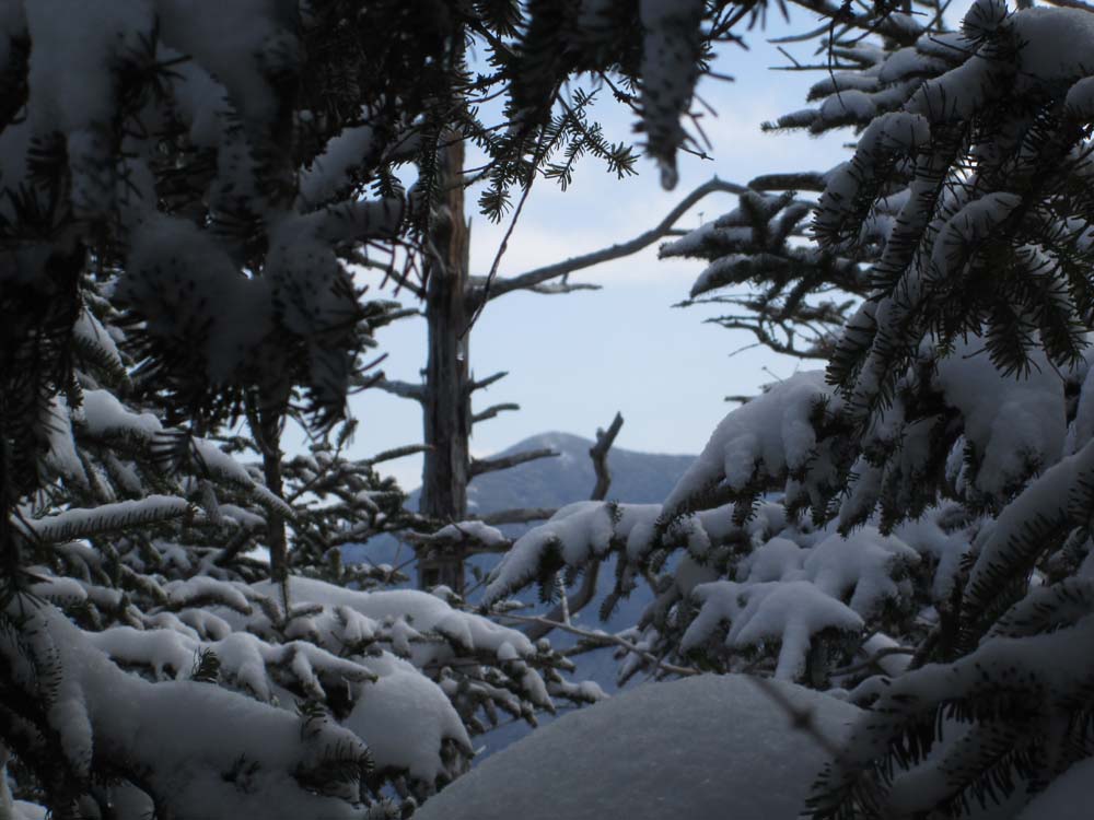
Slight views from Mt. Hitchcock
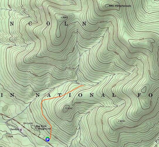

Directions to trailhead: Take Route 112 east from Lincoln, past Lincoln Woods and Big Rock Campground. The Forest Discovery Trail and USFS fee parking lot will be on the left soon thereafter.
Back to Mt. Hitchcock (South Peak) Profile
Back to Mt. Hitchcock Profile
|