Home
States
Colorado
Connecticut
Maine
Massachusetts
New Hampshire
New York
Rhode Island
Utah
Vermont
View All
Lists
NE 4,000 Footers
NE 100 Highest
NH 4,000 Footers
NH 100 Highest
NH 52 With A View
NH Belknap Range
NH Ossipee 10
Links
Trail Conditions
Trip Log
Sunrises
Sunsets
About
|
Mt. Ingalls, Mt. Cabot
Shelburne, NH
Trailheads, measurements, times, distances, and maps are all approximate and relative to the hike(s) as shown below.
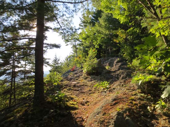
The Scudder Trail
Route: Scudder Trail, Judson Pond Trail, Red Trail, Yellow Trail, Mill Brook Road
Loop over Mt. Ingalls and Mt. Cabot (not the 4k, but the Half Pint in Shelburne).
Trails had generally good footing. Some mud on lower Scudder and Red trails, otherwise dry. Grassy lower portions of trails would be unpleasant in wet conditions and in tick season, but its not too tall nonetheless.
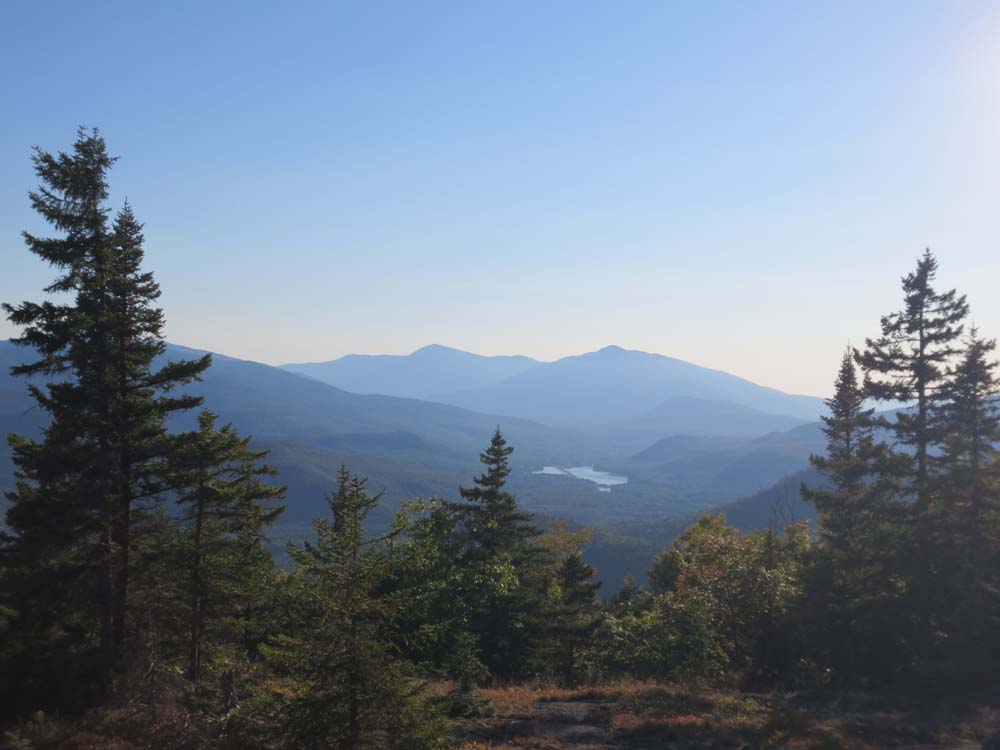
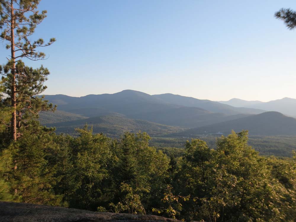
Excellent views above the Judson Pond Trail junction (Scudder-Cabot connector) from the Scudder Trail, as well as the view loop on Cabot.
| Hike Ratings |
|
Getting To Trailhead: |
Easy |
| Destination: |
Mt. Ingalls |
|
Length: |
Moderate |
|
Steepness: |
Moderate |
|
Navigation: |
Moderate |
|
Views: |
Excellent |
|
Crowds: |
Minimal |
| Destination: |
Mt. Cabot |
|
Length: |
Moderate |
|
Steepness: |
Moderate |
|
Navigation: |
Moderate |
|
Views: |
Excellent |
|
Crowds: |
Minimal |
|
| Hike Stats |
|
Date Hiked: |
Wednesday, September 12, 2012 |
| Parking Elevation: |
700' |
| Destination: |
Mt. Ingalls |
| Time Elapsed: |
01:16 |
| Trailhead Elevation: |
770' |
| Summit Elevation: |
2,242' |
| Vertical Gain: |
1,492' |
| Destination: |
Mt. Cabot |
| Time Elapsed: |
01:16 |
| Trailhead Elevation: |
700' |
| Summit Elevation: |
1,512' |
| Vertical Gain: |
212' |
|
|
| Hike Time Elapsed: |
01:52 |
| Hike Vertical Gain: |
1,844' |
|
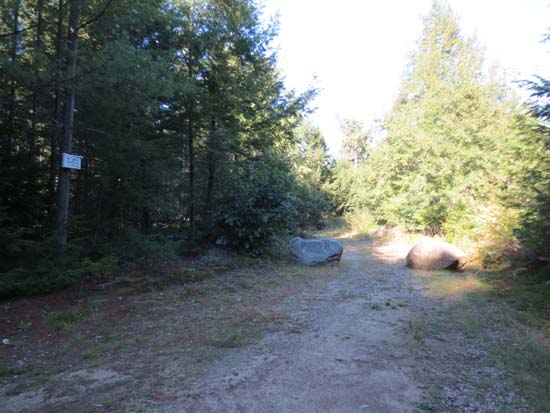
The start of the road to the White Trail

Looking at the Presidentials from the ledges near the summit of Mt. Ingalls
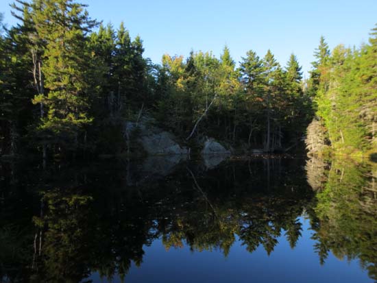
Ray's Pond
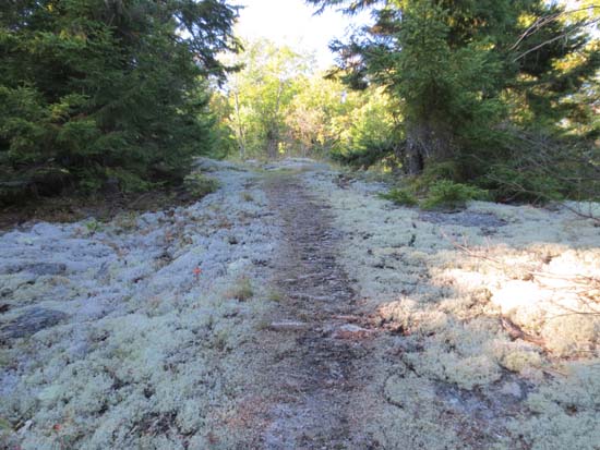
The Scudder Trail

Looking at the Moriahs and Presidentials from Mt. Cabot
Directions to trailhead: Take US 2 East from Gorham, then take a left onto North Road. Continue past Philbrook Farm Inn. Shortly thereafter, there should be room to pull over on the right side of the road (with pipeline marker 74 visible). Just before this on the left is a driveway. The White Trail trailhead is up this driveway on the right, across from a home.
Back to Mt. Ingalls Profile
Back to Mt. Cabot Profile
|