Home
States
Colorado
Connecticut
Maine
Massachusetts
New Hampshire
New York
Rhode Island
Utah
Vermont
View All
Lists
NE 4,000 Footers
NE 100 Highest
NH 4,000 Footers
NH 100 Highest
NH 52 With A View
NH Belknap Range
NH Ossipee 10
Links
Trail Conditions
Trip Log
Sunrises
Sunsets
About
|
Mt. Isolation
Jackson, NH, Sargents Purchase, NH, Cutts Grant, NH
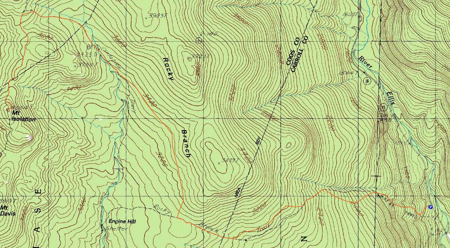
Trailheads, measurements, times, distances, and maps are all approximate and relative to the hike(s) as shown below.
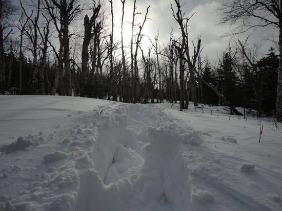
The breaking out a route though the birch glades around the Engine Hill bushwhack
Route: Rocky Branch Trail, (Engine Hill bushwhack), Isolation Trail, (bushwhack), Davis Path, Isolation Spur, (Mt. Isolation), Isolation Spur, Davis Path, (bushwhack), Isolation Trail, (Engine Hill bushwhack), Rocky Branch Trail
A last minute decision led me to Mt. Isolation for what looked to be a long way.
Starting on snowshoes, I made my way up the drifted Rocky Branch Trail, eventually reaching the popular place to start the "Engine Hill bushwhack" after about an hour and forty five minutes. Shortly after climbing up to the birch glades, the drifted footbed disappeared altogether. As a result, it was trailbreaking mode for the rest of the ascent (generally 10 to 20 inches of powder with some deeper drifts).
Finding deep drifts in the birch glades, I tended to favor going into the mixed woods. Wanting to avoid as much of the generally wet Isolation Trail as possible, I tried to maintain a high contour. This worked out decently, as I popped onto the Isolation Trail adjacent the forth (out of five) major crossing. After passing the two monster boulders, I reached the fifth water crossing (the first one I'd actually have to cross), which was snowbridged somewhat decently downstream.
From there, I followed the Isolation Trail off memory, as the minimal blazes and somewhat open softwoods make for tricky navigation. Reaching the campsite, I bushwhacked along the contour to the Davis Path. From there, I continued south, then up the Isolation Spur to the windy summit.
While returning to the Davis Path, I bumped into two groups, who had packed out the route quite nicely, making for a fairly quick descent.
| Hike Ratings |
|
Getting To Trailhead: |
Easy |
| Destination: |
Mt. Isolation |
|
Length: |
Difficult |
|
Steepness: |
Difficult |
|
Navigation: |
Difficult |
|
Views: |
Moderate (due to weather) |
|
Crowds: |
Minimal |
|
| Hike Stats |
|
Date Hiked: |
Wednesday, December 29, 2010 |
| Hike Commenced: |
7:14 AM |
| Parking Elevation: |
1,260' |
| Destination: |
Mt. Isolation |
| Ascent Commenced: |
7:14 AM |
| Summit Reached: |
12:18 PM |
| Time Elapsed: |
05:04 |
| Trailhead Elevation: |
1,260' |
| Summit Elevation: |
4,004' |
| Vertical Gain: |
3,034' |
|
|
| Hike Ended: |
3:14 PM |
| Hike Time Elapsed: |
08:00 |
| Hike Vertical Gain: |
3,324' |
|
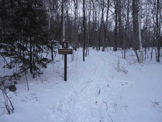
The Rocky Branch Trail trailhead
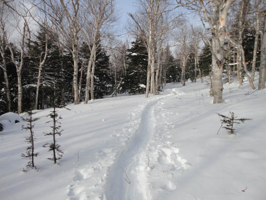
A nicely packed route through the birch glades later in the day
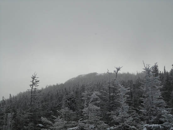
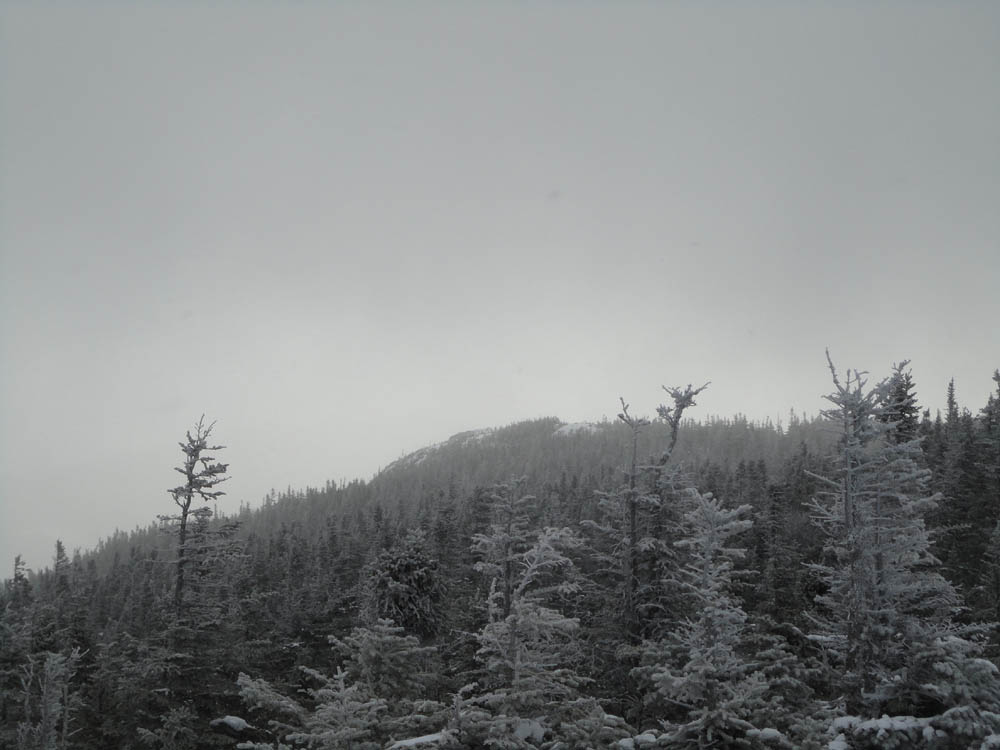
Looking at Southeast Isolation from Mt. Isolation
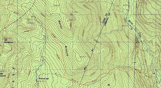

Directions to trailhead: Take Route 16 North from the Route 302-16 junction in Glen. A few minutes having passing Jackson and just before 16 starts to climb to Pinkham Notch, the Rocky Branch parking lot will be on the left. The Rocky Branch Trail trailhead is at the north side of the parking lot.
Back to Mt. Isolation Profile
|