Home
States
Colorado
Connecticut
Maine
Massachusetts
New Hampshire
New York
Rhode Island
Utah
Vermont
View All
Lists
NE 4,000 Footers
NE 100 Highest
NH 4,000 Footers
NH 100 Highest
NH 52 With A View
NH Belknap Range
NH Ossipee 10
Links
Trail Conditions
Trip Log
Sunrises
Sunsets
About
|
Mt. Israel
Sandwich, NH
Trailheads, measurements, times, distances, and maps are all approximate and relative to the hike(s) as shown below.
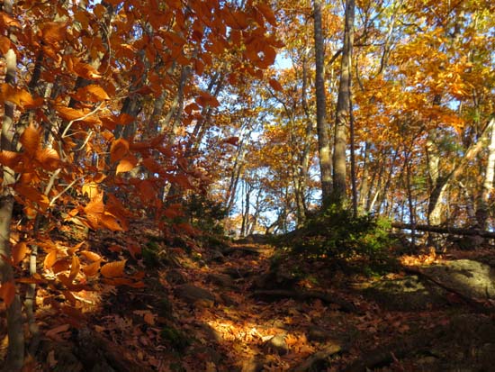
Looking up the Wentworth Trail
Route: Wentworth Trail
Trail is snow/ice free and generally dry. Some mud lurking under leaves in places. Still some nice late fall colors in the lower elevations.
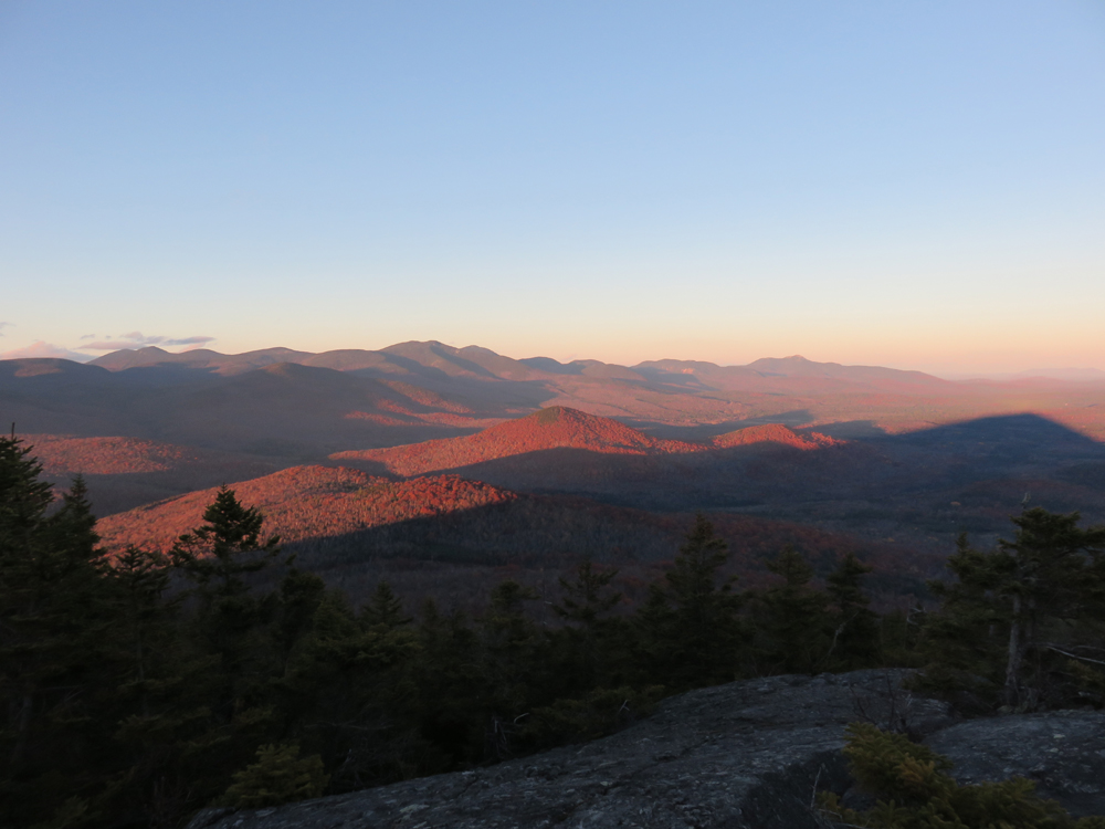
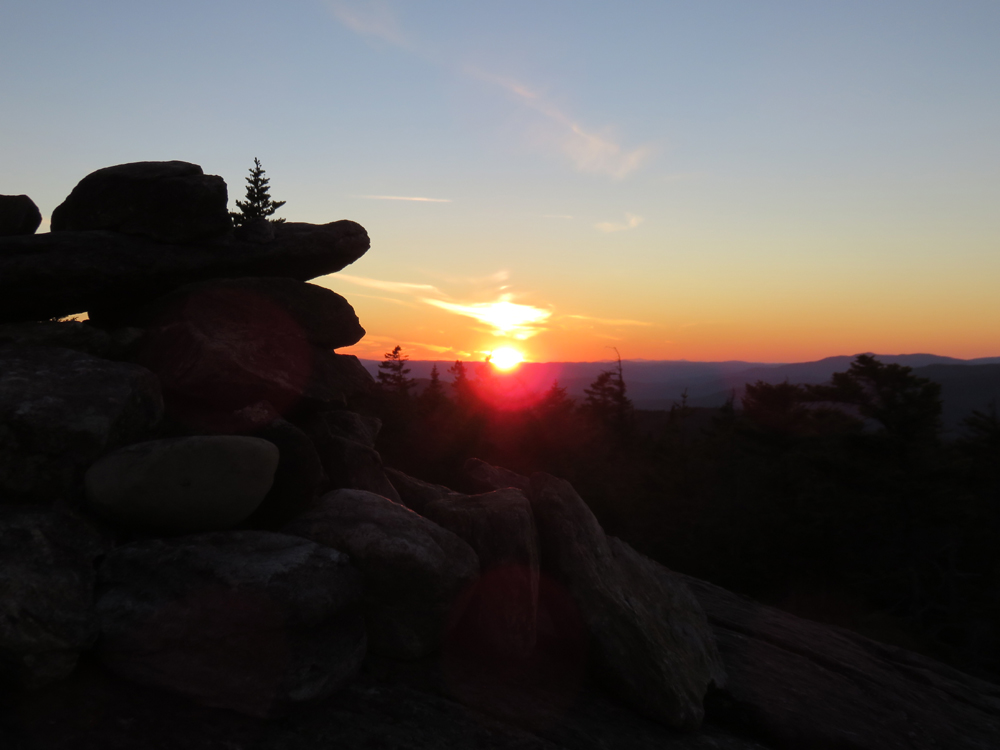
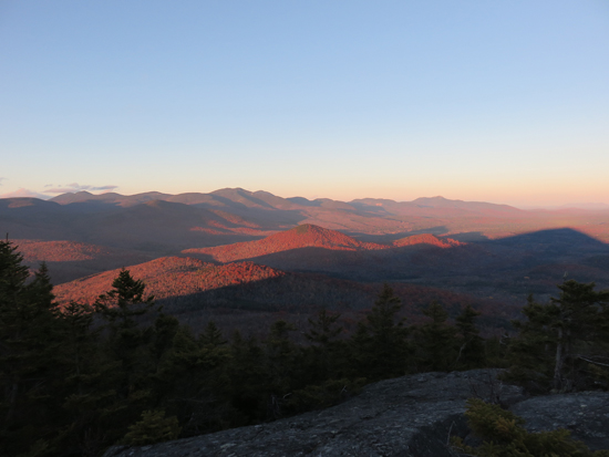
Good views from the northeast ledges (herd path beyond the summit cairn) and decent sunset from the summit.
| Hike Ratings |
|
Getting To Trailhead: |
Easy |
| Destination: |
Mt. Israel |
|
Length: |
Moderate |
|
Steepness: |
Moderate |
|
Navigation: |
Easy |
|
Views: |
Excellent |
|
Crowds: |
Minimal |
|
| Hike Stats |
|
Date Hiked: |
Monday, November 2, 2015 |
| Parking Elevation: |
940' |
| Destination: |
Mt. Israel |
| Time Elapsed: |
00:42 |
| Trailhead Elevation: |
950' |
| Summit Elevation: |
2,630' |
| Distance: |
2.1 miles |
| Vertical Gain: |
1,780' |
|
|
| Hike Time Elapsed: |
02:05 |
| Hike Vertical Gain: |
1,920' |
|
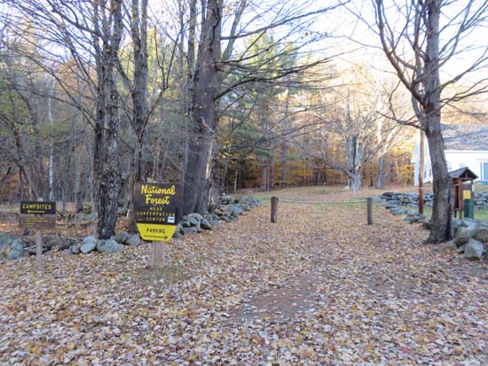
Wentworth Trail trailhead at the Mead Base Camp
Looking at the Sandwich Range from near the Mt. Israel summit

The sunset as seen from Mt. Israel
Directions to trailhead: Take Route 109 into Center Sandwich. Route 113 will enter on your right and bear left shortly thereafter. Go straight onto Grove Street instead, bear left onto Diamond Ledge Road. Parking at the Mead Camp.
Back to Mt. Israel Profile
|