Home
States
Colorado
Connecticut
Maine
Massachusetts
New Hampshire
New York
Rhode Island
Utah
Vermont
View All
Lists
NE 4,000 Footers
NE 100 Highest
NH 4,000 Footers
NH 100 Highest
NH 52 With A View
NH Belknap Range
NH Ossipee 10
Links
Trail Conditions
Trip Log
Sunrises
Sunsets
About
|
Mt. Jefferson
Thompson and Meserve's Purchase, NH
Trailheads, measurements, times, distances, and maps are all approximate and relative to the hike(s) as shown below.
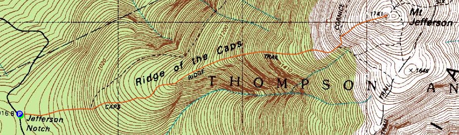
The Caps Ridge Trail
Route: Caps Ridge Trail
Since it was a nice fall afternoon, I decided to get out of work a little bit early and head up to Mt. Jefferson.
The lower part of the Caps Ridge Trail had numerous boards on the side of it - by the looks of it, a bunch of log walks are going to be replaced.
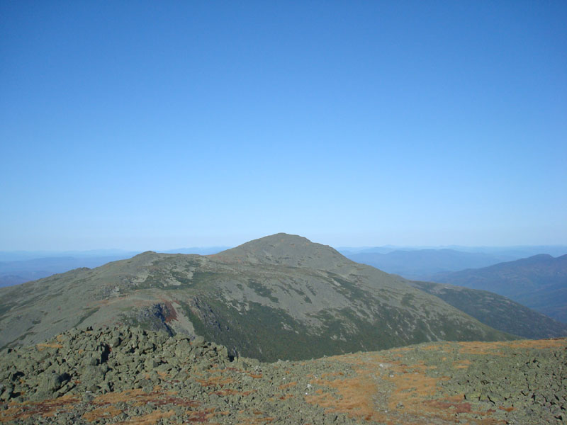
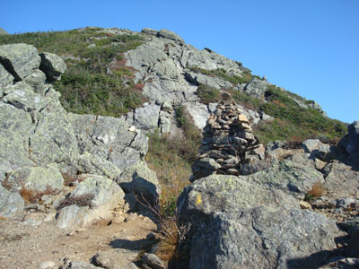
While I made decent time through the lower portion of the trail, as soon as I hit the alpine zone, I was feeling pretty worn out. Nonetheless, by the time I was at the top of the caps, I was in a decent groove.
While a haze was developing to the west and south, views to the north and east were strong. Since it was a pleasant temperature and winds were bad at all, I loitered at the summit for awhile.
The descent was what seems to be typical of the Caps Ridge Trail in my opinion - a very, very long 2.5 miles.
| Hike Ratings |
|
Getting To Trailhead: |
Easy |
| Destination: |
Mt. Jefferson |
|
Length: |
Moderate |
|
Steepness: |
Very Difficult |
|
Navigation: |
Moderate |
|
Views: |
Excellent |
|
Crowds: |
Moderate |
|
| Hike Stats |
|
Date Hiked: |
Tuesday, September 23, 2008 |
| Hike Commenced: |
2:36 PM |
| Parking Elevation: |
3,009' |
| Destination: |
Mt. Jefferson |
| Ascent Commenced: |
2:36 PM |
| Summit Reached: |
4:06 PM |
| Time Elapsed: |
01:30 |
| Trailhead Elevation: |
3,009' |
| Summit Elevation: |
5,712' |
| Distance: |
2.5 miles |
| Vertical Gain: |
2,768' |
|
|
| Hike Ended: |
6:23 PM |
| Hike Time Elapsed: |
03:47 |
| Hike Distance: |
5 miles |
| Hike Vertical Gain: |
2,833' |
|
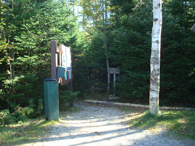
Caps Ridge Trail trailhead at Jefferson Notch

Looking at Mt. Adams from Mt. Jefferson
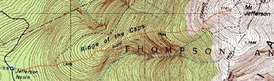

Directions to trailhead: Take Route 302 West from Bartlett into Carroll. Just after Saco Lake, take a right onto Mt. Clinton Road. Cross over Base Road and continue on Jefferson Notch Road. At the high point of the road, the WMNF fee parking lot will be on the right. The Caps Ridge Trail trailhead is at the back of the parking lot.
Back to Mt. Jefferson Profile
|