Home
States
Colorado
Connecticut
Maine
Massachusetts
New Hampshire
New York
Rhode Island
Utah
Vermont
View All
Lists
NE 4,000 Footers
NE 100 Highest
NH 4,000 Footers
NH 100 Highest
NH 52 With A View
NH Belknap Range
NH Ossipee 10
Links
Trail Conditions
Trip Log
Sunrises
Sunsets
About
|
Mt. Jefferson
Thompson and Meserve's Purchase, NH
Trailheads, measurements, times, distances, and maps are all approximate and relative to the hike(s) as shown below.
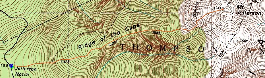
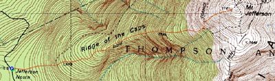
The Caps Ridge Trail
Route: Caps Ridge Trail
Amazingly, here was a mid-November day with relatively warm temperatures and an open Jefferson Notch Road and a snow-free Mt. Jefferson. A far cry from my ill-fated snowy hike back in October.
Other than a few very tiny patches of ice, the Caps Ridge Trail was snow/ice free and dry. Reaching the summit, the winds were mild and the temperatures adequate for just a long sleeve shirt. Heading back down the trail a bit, I found a decent place to sit and wait for the sunset.
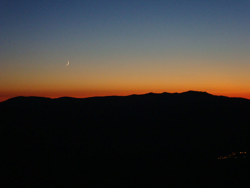
Without a cloud in the sky, I knew the sunset display wouldn't be particularly great. Nonetheless, the colors were quite nice as the Franconia Ridge was backlit with yellows and oranges.
There was enough of a remaining glow after the sunset that I was able to get down to treeline without needing a headlamp. Beyond there, it was a quiet walk out - certainly better than limping out on a cold night a month earlier.
| Hike Ratings |
|
Getting To Trailhead: |
Easy |
| Destination: |
Mt. Jefferson |
|
Length: |
Moderate |
|
Steepness: |
Very Difficult |
|
Navigation: |
Difficult |
|
Views: |
Excellent |
|
Crowds: |
Minimal |
|
| Hike Stats |
|
Date Hiked: |
Wednesday, November 18, 2009 |
| Hike Commenced: |
2:11 PM |
| Parking Elevation: |
3,009' |
| Destination: |
Mt. Jefferson |
| Ascent Commenced: |
2:11 PM |
| Summit Reached: |
3:40 PM |
| Time Elapsed: |
01:29 |
| Trailhead Elevation: |
3,009' |
| Summit Elevation: |
5,712' |
| Distance: |
2.5 miles |
| Vertical Gain: |
2,768' |
|
|
| Hike Ended: |
5:56 PM |
| Hike Time Elapsed: |
04:45 |
| Hike Distance: |
5 miles |
| Hike Vertical Gain: |
2,833' |
|
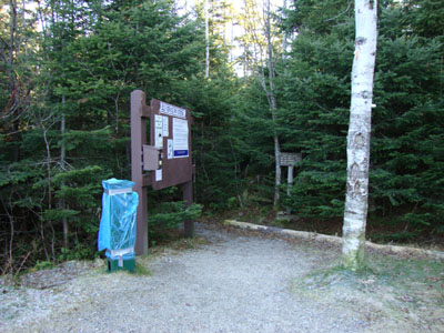
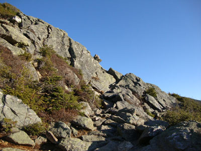
Caps Ridge Trail trailhead at Jefferson Notch
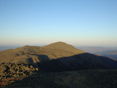
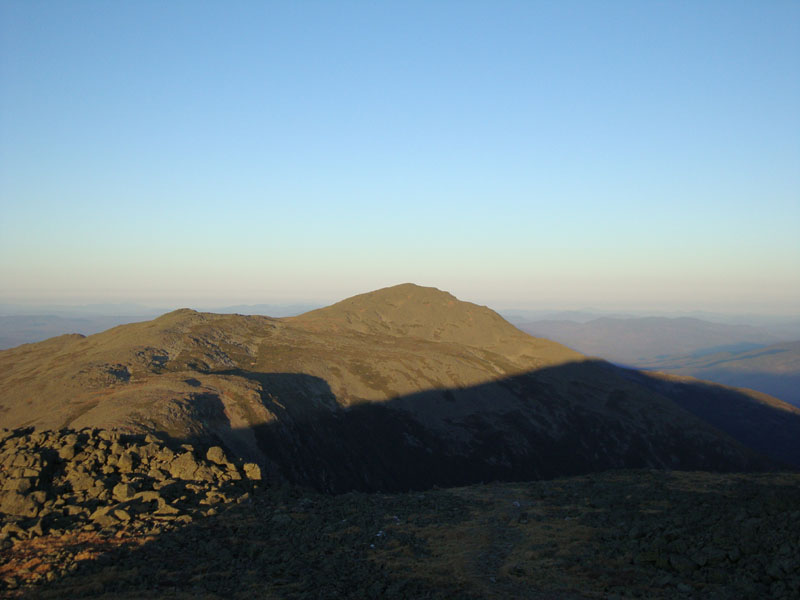
Looking at Mt. Adams from Mt. Jefferson
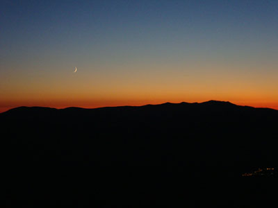
Sunset colors as seen from near the summit Mt. Jefferson
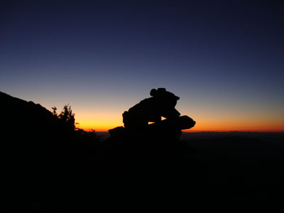
The Caps Ridge Trail after dark

Directions to trailhead: Take Route 302 West from Bartlett into Carroll. Just after Saco Lake, take a right onto Mt. Clinton Road. Cross over Base Road and continue on Jefferson Notch Road. At the high point of the road, the WMNF fee parking lot will be on the right. The Caps Ridge Trail trailhead is at the back of the parking lot.
Back to Mt. Jefferson Profile
|