Home
States
Colorado
Connecticut
Maine
Massachusetts
New Hampshire
New York
Rhode Island
Utah
Vermont
View All
Lists
NE 4,000 Footers
NE 100 Highest
NH 4,000 Footers
NH 100 Highest
NH 52 With A View
NH Belknap Range
NH Ossipee 10
Links
Trail Conditions
Trip Log
Sunrises
Sunsets
About
|
Mt. Jefferson
Thompson and Meserve's Purchase, NH
Trailheads, measurements, times, distances, and maps are all approximate and relative to the hike(s) as shown below.
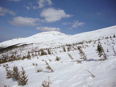
Looking across the snow-covered spruce forest on the way to Mt. Jefferson
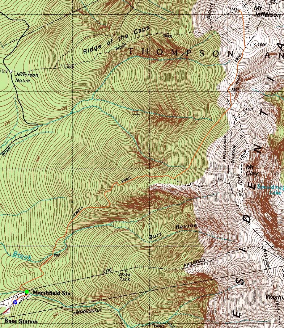
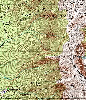
Route: Jewell Trail, snowfields (Mt. Jefferson), snowfields, Jewell Trail
With a decent window of weather, I headed up for a quick hike to Mt. Jefferson. After parking in one of the lower Cog lots (the upper being full), I soon set foot on the Jewell Trail. Progress slowed as I neared treeline, due to a ridiculous amount of branches invading the trail's airway. Upon reaching the alpinezone area, I cut directly to Sphinx Col, walking amongst the tops of the trees. From the col, I continued roughly along the Gulfside trail for a bit, then going direct to the summit of Mt. Jefferson.
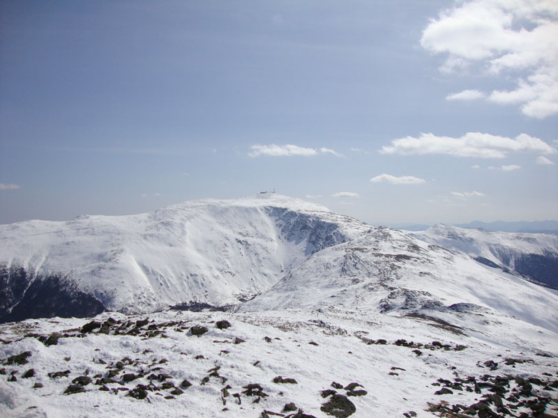
From the summit, the views were quite strong, though a bit hazy to the south and west. Mt. Washington was particularly impressive with a bunch of cornices showing over the Great Gulf.
The return trip went quite quickly, with the exception of the descent down the thick upper Jewell Trail.
A nice late-winter day for Mt. Jefferson!
| Hike Ratings |
|
Getting To Trailhead: |
Easy |
| Destination: |
Mt. Jefferson |
|
Length: |
Moderate |
|
Steepness: |
Difficult |
|
Navigation: |
Moderate |
|
Views: |
Excellent |
|
Crowds: |
Minimal |
|
| Hike Stats |
|
Date Hiked: |
Friday, March 19, 2010 |
| Hike Commenced: |
11:14 AM |
| Parking Elevation: |
2,650' |
| Destination: |
Mt. Jefferson |
| Ascent Commenced: |
11:22 AM |
| Summit Reached: |
1:34 PM |
| Time Elapsed: |
02:12 |
| Trailhead Elevation: |
2,710' |
| Summit Elevation: |
5,712' |
| Vertical Gain: |
3,152 |
|
|
| Hike Ended: |
3:32 PM |
| Hike Time Elapsed: |
04:18 |
| Hike Vertical Gain: |
3,382' |
|
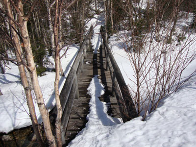
The Jewell Trail trailhead near the Marshfield Base Station
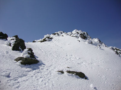
Heading up Mt. Jefferson

Looking at Mt. Washington from Mt. Jefferson

Directions to trailhead: To get to the Cog Base Station in winter, take 302 West from Crawford Notch, then take a right onto Base Station Road. In late winter 2010, there was plowed parking available at the Cog Base Station. Looking up the mountain from the parking lot, the spur trail to the Jewell Trail begins above the base station building, to the left.
Back to Mt. Jefferson Profile
|