Home
States
Colorado
Connecticut
Maine
Massachusetts
New Hampshire
New York
Rhode Island
Utah
Vermont
View All
Lists
NE 4,000 Footers
NE 100 Highest
NH 4,000 Footers
NH 100 Highest
NH 52 With A View
NH Belknap Range
NH Ossipee 10
Links
Trail Conditions
Trip Log
Sunrises
Sunsets
About
|
Mt. Jefferson
Thompson and Meserve's Purchase, NH
Trailheads, measurements, times, distances, and maps are all approximate and relative to the hike(s) as shown below.
The Link
Route: Caps Ridge Trail, The Link, Castle Ravine Trail, The Cornice
Trails were generally dry. A few minor muddy areas. One or two areas of minor water running down trail. This section of The Link was not as bad as I thought it would be, but I don't plan to return to it anytime soon. The section of The Cornice between Castle and Caps Ridge has some far-spaced-out cairns - probably not a good route in limited visibility. Nice sunset on the way down.
| Hike Ratings |
|
Getting To Trailhead: |
Easy |
| Destination: |
Mt. Jefferson |
|
Length: |
Difficult |
|
Steepness: |
Very Difficult |
|
Navigation: |
Difficult |
|
Views: |
Excellent |
|
Crowds: |
Minimal |
|
| Hike Stats |
|
Date Hiked: |
Wednesday, July 11, 2012 |
| Parking Elevation: |
3,009' |
| Destination: |
Mt. Jefferson |
| Time Elapsed: |
03:58 |
| Trailhead Elevation: |
3,009' |
| Summit Elevation: |
5,712' |
| Vertical Gain: |
3,468' |
|
|
| Hike Time Elapsed: |
06:00 |
| Hike Vertical Gain: |
3.618' |
|
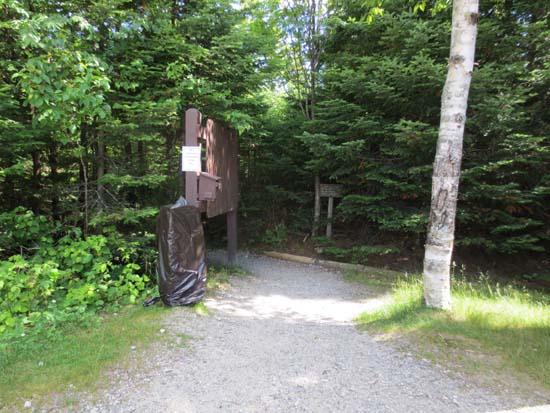
Caps Ridge Trail trailhead at Jefferson Notch
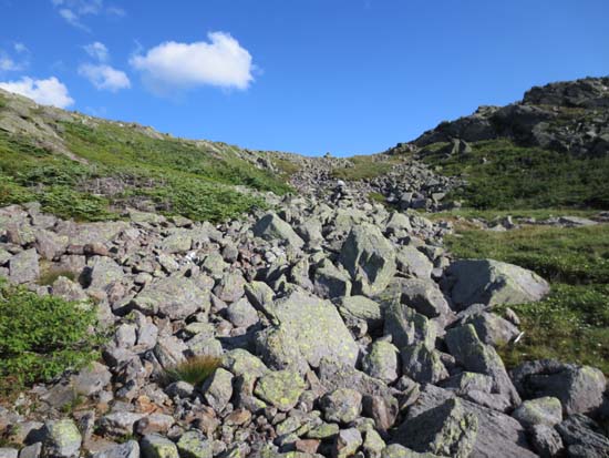
The Castle Ravine Trail
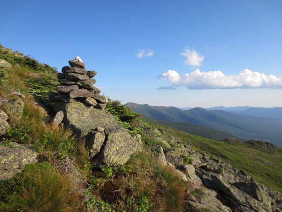
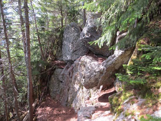
The Cornice
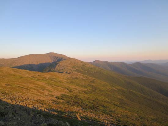
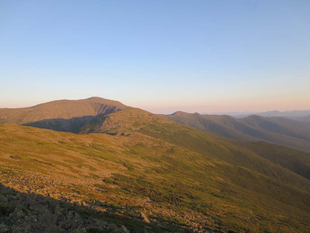
Looking at Mt. Washington and the Southern Presidentials prior to sunset from near the summit of Mt. Jefferson
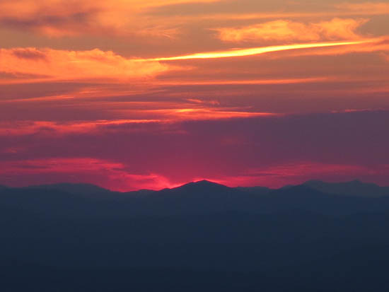
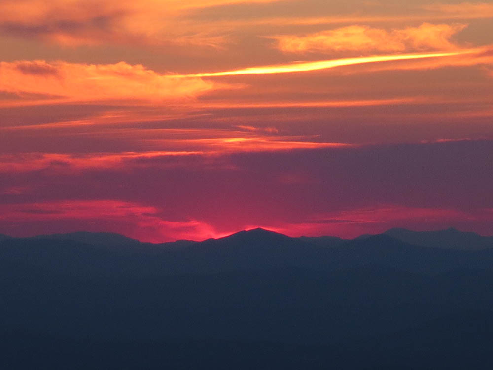
The sunset from the Caps Ridge Trail
Directions to trailhead: Take Route 302 West from Bartlett into Carroll. Just after Saco Lake, take a right onto Mt. Clinton Road (generally closed in winter). Cross over Base Road and continue on Jefferson Notch Road (generally closed in winter). At the high point of the road, the WMNF fee parking lot will be on the right. The Caps Ridge Trail trailhead is at the back of the parking lot.
Back to Mt. Jefferson Profile
|