Home
States
Colorado
Connecticut
Maine
Massachusetts
New Hampshire
New York
Rhode Island
Utah
Vermont
View All
Lists
NE 4,000 Footers
NE 100 Highest
NH 4,000 Footers
NH 100 Highest
NH 52 With A View
NH Belknap Range
NH Ossipee 10
Links
Trail Conditions
Trip Log
Sunrises
Sunsets
About
|
Mt. Jefferson
Thompson and Meserve's Purchase, NH
Trailheads, measurements, times, distances, and maps are all approximate and relative to the hike(s) as shown below.
The Caps Ridge Trail
Route: Caps Ridge Trail, The Cornice, Gulfside, Jefferson Loop, (Mt. Jefferson), Jefferson Loop, Gulfside, The Cornice, Caps Ridge Trail
Trail was mostly dry. Took the Cornice to avoid the rough upper part of Caps Ridge. Windy today!
| Hike Ratings |
|
Getting To Trailhead: |
Easy |
| Destination: |
Mt. Jefferson |
|
Length: |
Moderate |
|
Steepness: |
Very Difficult |
|
Navigation: |
Moderate |
|
Views: |
Excellent |
|
Crowds: |
Moderate |
|
| Hike Stats |
|
Date Hiked: |
Thursday, August 30, 2012 |
| Parking Elevation: |
3,009' |
| Destination: |
Mt. Jefferson |
| Time Elapsed: |
02:17 |
| Trailhead Elevation: |
3,009' |
| Summit Elevation: |
5,712' |
| Distance: |
2.5 miles |
| Vertical Gain: |
2,768' |
|
|
| Hike Time Elapsed: |
04:23 |
| Hike Vertical Gain: |
2,833' |
|
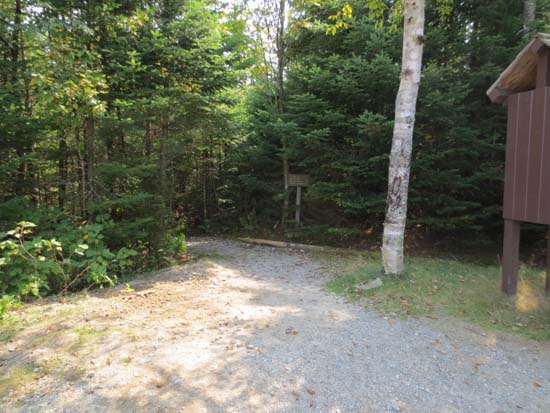
Caps Ridge Trail trailhead at Jefferson Notch

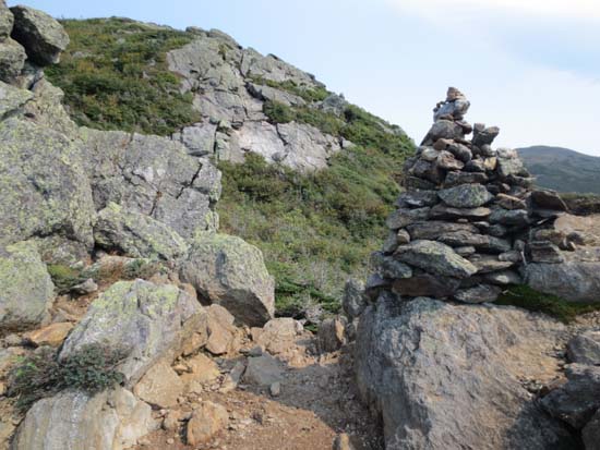
Looking down the Cornice
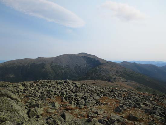
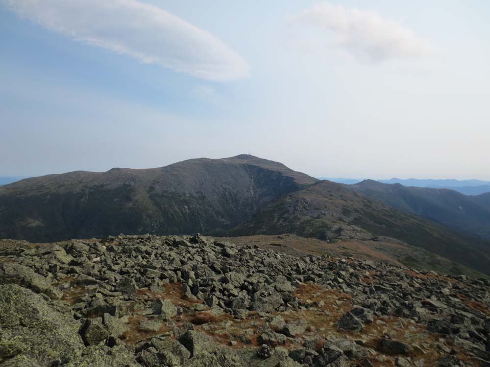
Looking at Mt. Washington from Mt. Jefferson
Directions to trailhead: Take Route 302 West from Bartlett into Carroll. Just after Saco Lake, take a right onto Mt. Clinton Road. Cross over Base Road and continue on Jefferson Notch Road. At the high point of the road, the WMNF fee parking lot will be on the right. The Caps Ridge Trail trailhead is at the back of the parking lot.
Back to Mt. Jefferson Profile
|