Home
States
Colorado
Connecticut
Maine
Massachusetts
New Hampshire
New York
Rhode Island
Utah
Vermont
View All
Lists
NE 4,000 Footers
NE 100 Highest
NH 4,000 Footers
NH 100 Highest
NH 52 With A View
NH Belknap Range
NH Ossipee 10
Links
Trail Conditions
Trip Log
Sunrises
Sunsets
About
|
Mt. Jefferson
Thompson and Meserve's Purchase, NH
Trailheads, measurements, times, distances, and maps are all approximate and relative to the hike(s) as shown below.
The Caps Ridge Trail
Route: Caps Ridge Trail, The Cornice, Gulfside, Jefferson Loop, (Mt. Jefferson), Jefferson Loop, Gulfside, The Cornice, Caps Ridge Trail
Trails were mostly dry. Looped around the southern side of the Cornice to avoid the rough ascent up the Jefferson cone (and to avoid increasing winds). Very nice afternoon/evening with a good sunset just prior to the summits being covered by fog.
Franconia Notch foliage past peak, but some nice patches in Twin Mountain. Bretton Woods area is also past peak, but there was some nice birch to be seen in the drainage between Caps Ridge and Castellated Ridge.
| Hike Ratings |
|
Getting To Trailhead: |
Easy |
| Destination: |
Mt. Jefferson |
|
Length: |
Moderate |
|
Steepness: |
Very Difficult |
|
Navigation: |
Moderate |
|
Views: |
Excellent |
|
Crowds: |
Heavy |
|
| Hike Stats |
|
Date Hiked: |
Friday, October 3, 2014 |
| Parking Elevation: |
3,009' |
| Destination: |
Mt. Jefferson |
| Time Elapsed: |
01:35 |
| Trailhead Elevation: |
3,009' |
| Summit Elevation: |
5,712' |
| Vertical Gain: |
2,768' |
|
|
| Hike Time Elapsed: |
03:29 |
| Hike Vertical Gain: |
2,833' |
|
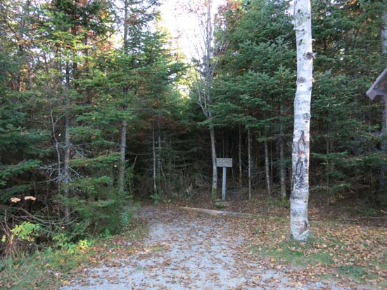
Caps Ridge Trail trailhead at Jefferson Notch
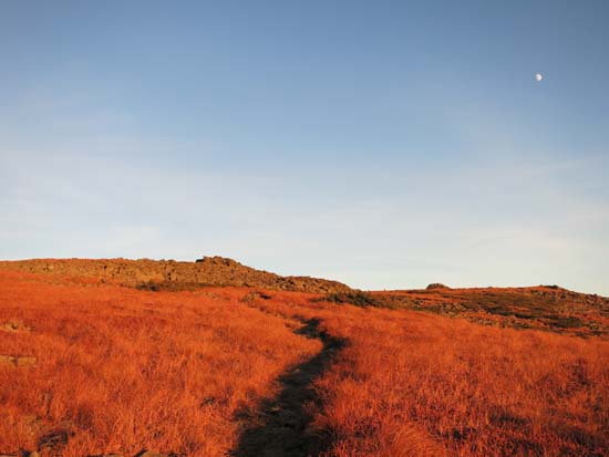
Looking up the Cornice
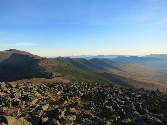
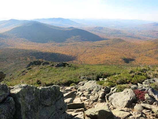
Looking at Mt. Washington and the Southern Presidentials from Mt. Jefferson

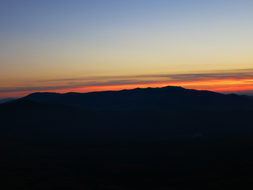
Sunset colors behind Franconia Ridge from Caps Ridge
Directions to trailhead: Take Route 302 West from Bartlett into Carroll. Just after Saco Lake, take a right onto Mt. Clinton Road. Cross over Base Road and continue on Jefferson Notch Road. At the high point of the road, the WMNF fee parking lot will be on the right. The Caps Ridge Trail trailhead is at the back of the parking lot.
Back to Mt. Jefferson Profile
|