Home
States
Colorado
Connecticut
Maine
Massachusetts
New Hampshire
New York
Rhode Island
Utah
Vermont
View All
Lists
NE 4,000 Footers
NE 100 Highest
NH 4,000 Footers
NH 100 Highest
NH 52 With A View
NH Belknap Range
NH Ossipee 10
Links
Trail Conditions
Trip Log
Sunrises
Sunsets
About
|
Mt. Jefferson
Thompson and Meserve's Purchase, NH
Trailheads, measurements, times, distances, and maps are all approximate and relative to the hike(s) as shown below.
The Caps Ridge Trail
Route: Caps Ridge Trail
Trail was generally dry below treeline with some minor mud. Above treeline was dry, as were all of the scramble ledges.
Nice foliage in the valleys...probably at or close to peak. Put on my winter hat and mitts up top for the first time this fall whilst waiting for a nice sunset cloud display.
| Hike Ratings |
|
Getting To Trailhead: |
Easy |
| Destination: |
Mt. Jefferson |
|
Length: |
Moderate |
|
Steepness: |
Very Difficult |
|
Navigation: |
Moderate |
|
Views: |
Excellent |
|
Crowds: |
Moderate |
|
| Hike Stats |
|
Date Hiked: |
Monday, October 5, 2015 |
| Parking Elevation: |
3,009' |
| Destination: |
Mt. Jefferson |
| Time Elapsed: |
01:27 |
| Trailhead Elevation: |
3,009' |
| Summit Elevation: |
5,712' |
| Vertical Gain: |
2,768' |
|
|
| Hike Time Elapsed: |
03:28 |
| Hike Vertical Gain: |
2,833' |
|
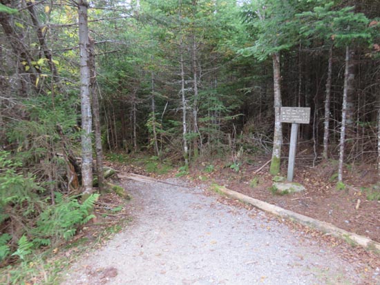
Caps Ridge Trail trailhead at Jefferson Notch
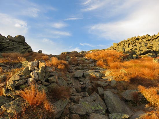
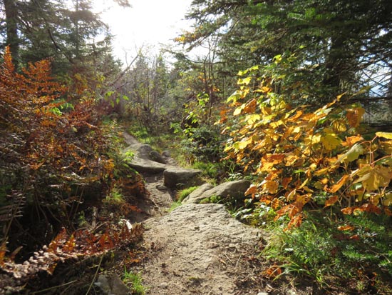
The Caps Ridge Trail

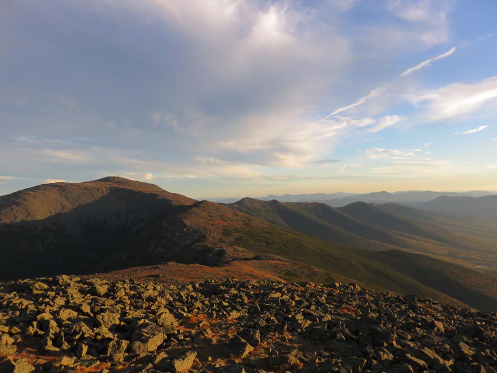
Looking at Mt. Washington and the Southern Presidentials from Mt. Jefferson
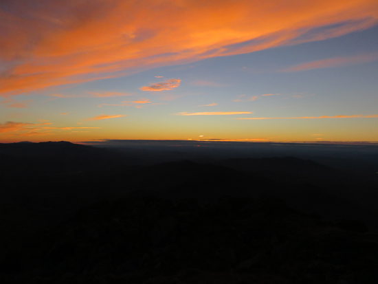
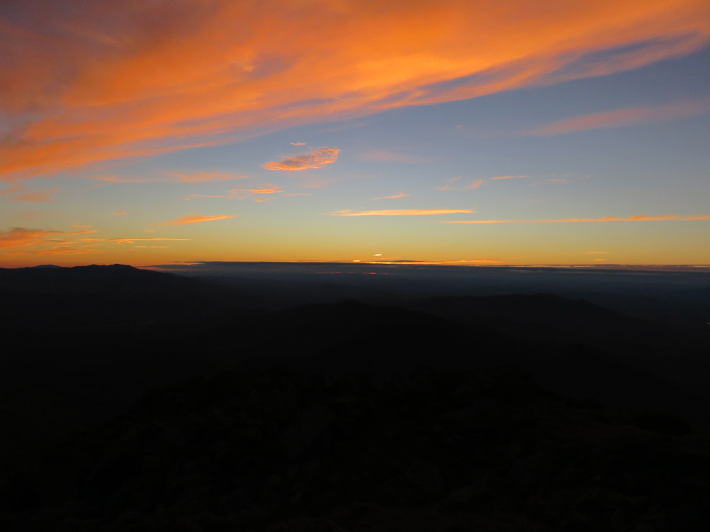
Sunset colors as seen from Caps Ridge
Directions to trailhead: Take Route 302 West from Bartlett into Carroll. Just after Saco Lake, take a right onto Mt. Clinton Road. Cross over Base Road and continue on Jefferson Notch Road. At the high point of the road, the WMNF fee parking lot will be on the right. The Caps Ridge Trail trailhead is at the back of the parking lot.
Back to Mt. Jefferson Profile
|