Home
States
Colorado
Connecticut
Maine
Massachusetts
New Hampshire
New York
Rhode Island
Utah
Vermont
View All
Lists
NE 4,000 Footers
NE 100 Highest
NH 4,000 Footers
NH 100 Highest
NH 52 With A View
NH Belknap Range
NH Ossipee 10
Links
Trail Conditions
Trip Log
Sunrises
Sunsets
About
|
Mt. Kearsarge
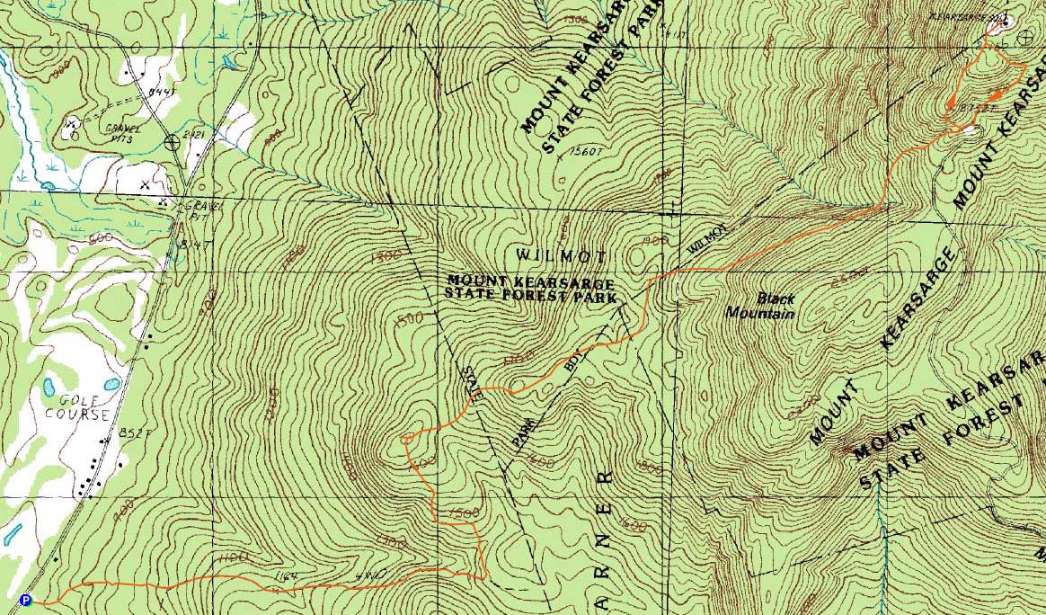
Sutton, NH, Wilmot, NH, Warner, NH
Trailheads, measurements, times, distances, and maps are all approximate and relative to the hike(s) as shown below.
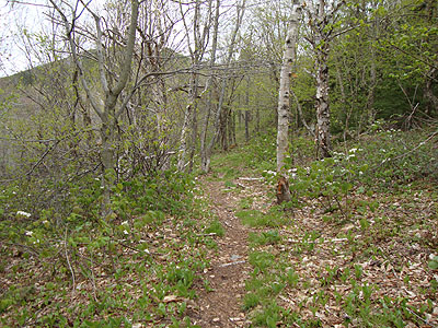
Looking up the Lincoln Trail
Route: Link Trail, Lincoln Trail, (Mt. Kearsarge), Rollins Trail, Lincoln Trail, Link Trail
While I was planning on hiking the Tripyramids, and was actually getting ready in the Livermore parking lot, I didn't want to deal with high winds and driving snow/sleet. Thus, I drove south and found myself at Kearsarge.
Starting at the Link Trail, it soon joined the Lincoln Trail - essentially a logging road. Fairly dull, it eventually consolidated into more of a fourwheeler trail. Reaching a subpeak, I followed some snowmobile signs to a possible ledge, but found no views. There were some views, however, immediately past this highpoint on the trail, courtesy a logging cut.
Beyond that logging cut, the trail became an actual trail, climbing up to the shoulder of Black Mountain, then gradually ascending to the col of Mt. Kearsarge.
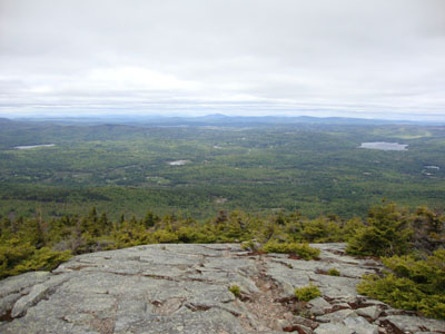
Reaching the auto road area, I continued on the Lincoln Trail - now steep and rocky/ledgy. Reaching the open summit ridge, I was bombarded by high winds and the occasional snow flake - fortunately I had my winter clothes handy. Though cloudy, the views were fairly strong, with the ski trails in the Green Mountains easily seen. The White Mountains, on the other hand, were engulfed in clouds.
For the return trip, I took the more gentle Rollins Trail back to the col, then rejoined the Lincoln Trail for a somewhat bland walk back.
| Hike Ratings |
|
Getting To Trailhead: |
Easy |
| Destination: |
Mt. Kearsarge |
|
Length: |
Moderate |
|
Steepness: |
Very Difficult |
|
Navigation: |
Moderate |
|
Views: |
Excellent |
|
Crowds: |
Minimal |
|
| Hike Stats |
|
Date Hiked: |
Sunday, May 9, 2010 |
| Hike Commenced: |
11:18 AM |
| Parking Elevation: |
535' |
| Destination: |
Mt. Kearsarge |
| Ascent Commenced: |
11:18 AM |
| Summit Reached: |
1:36 PM |
| Time Elapsed: |
02:18 |
| Trailhead Elevation: |
850' |
| Summit Elevation: |
2,937' |
| Distance: |
4.6 miles |
| Vertical Gain: |
2,262 |
|
|
| Hike Ended: |
3:48 PM |
| Hike Time Elapsed: |
04:30 |
| Hike Vertical Gain: |
2,447' |
|
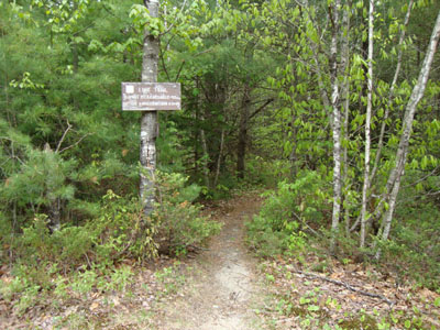
The Link Trail trailhead off Kearsarge Valley Road
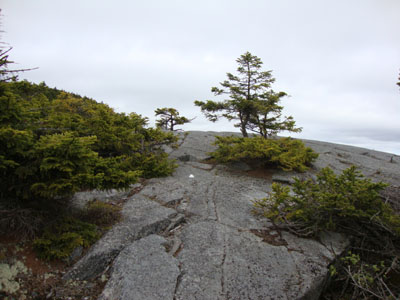
Looking up the Lincoln Trail
Looking at Mt. Ascutney from near the summit of Mt. Kearsarge
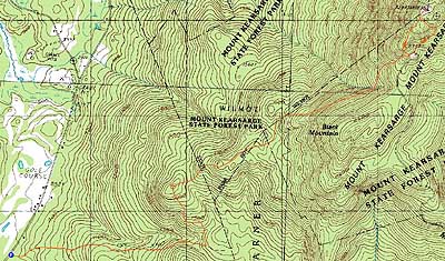

Directions to trailhead: From Route 11, take Keasarge Valley Road south past the state park entrance. Shortly after passing the Country Club of New Hampshire, the small dirt parking lot and Link Trail trailhead will be on the left.
Back to Mt. Kearsarge Profile
|