Home
States
Colorado
Connecticut
Maine
Massachusetts
New Hampshire
New York
Rhode Island
Utah
Vermont
View All
Lists
NE 4,000 Footers
NE 100 Highest
NH 4,000 Footers
NH 100 Highest
NH 52 With A View
NH Belknap Range
NH Ossipee 10
Links
Trail Conditions
Trip Log
Sunrises
Sunsets
About
|
Mt. Kearsarge
Warner, NH, Wilmot, NH
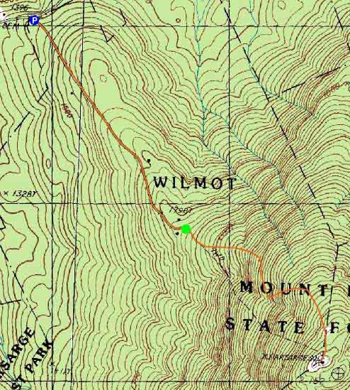
Trailheads, measurements, times, distances, and maps are all approximate and relative to the hike(s) as shown below.
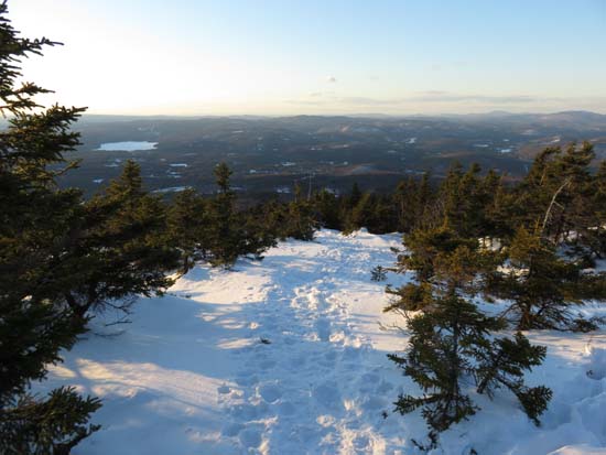
Looking down the Winslow Trail
Route: Auto road, Winslow Trail, (Mt. Kearsarge), Winslow Trail, powerline cut, auto road
Trail was packed enough to allow for barebooting today, but I opted for snowshoes roundtrip and had no issue. Multiple feet of snowpack, so if the weather gets warm later this week, snowshoes may be the better option. No ice of significance noted. Dome is bare ledge at the moment.
| Hike Ratings |
|
Getting To Trailhead: |
Moderate |
| Destination: |
Mt. Kearsarge |
|
Length: |
Moderate |
|
Steepness: |
Difficult |
|
Navigation: |
Moderate |
|
Views: |
Excellent |
|
Crowds: |
Minimal |
|
| Hike Stats |
|
Date Hiked: |
Monday, March 9, 2015 |
| Parking Elevation: |
1,400' |
| Time to Trailhead: |
00:18 |
| Destination: |
Mt. Kearsarge |
| Time Elapsed: |
00:39 |
| Trailhead Elevation: |
1,850' |
| Summit Elevation: |
2,937' |
| Distance: |
1.1 miles |
| Vertical Gain: |
1,095' |
|
|
| Hike Time Elapsed: |
02:05 |
| Hike Vertical Gain: |
1,555' |
|
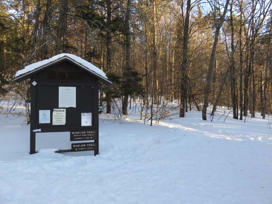
Winslow Trail trailhead
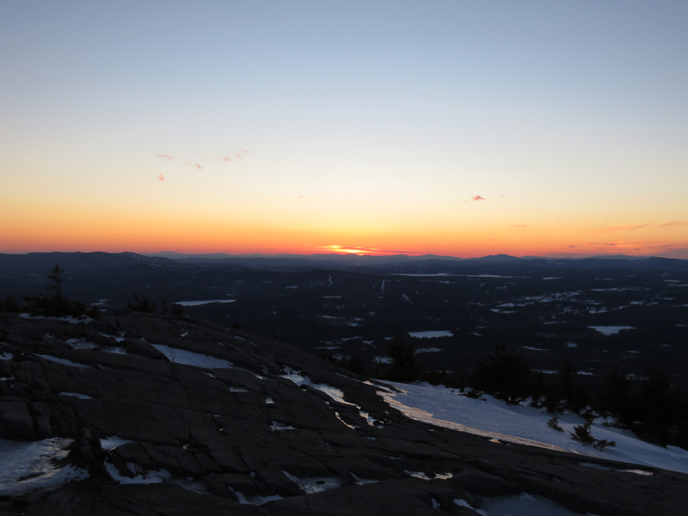
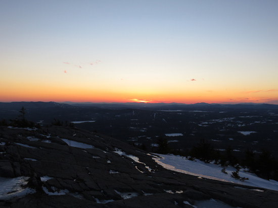
Looking at Killington and Pico from Mt. Kearsarge
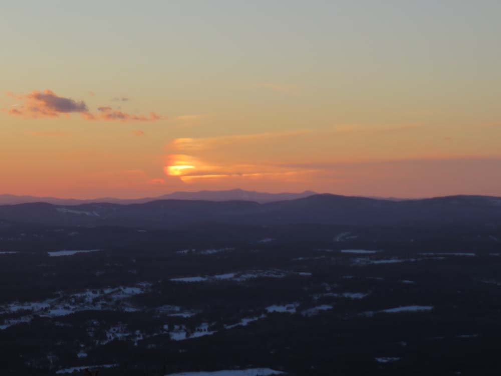
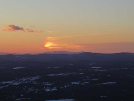
The sunset as seen from Mt. Kearsarge

Directions to trailhead: Take Route 11 West from US 4 to Wilmot Flat, then take a left onto Old Winslow Road. At the end of this road, take a left onto Kearsarge Mountain Road. In winter, there is room for a few vehicles to park near the gate of the auto road at the height of land (Twist Hill Road continues downhill). The Winslow Trail trailhead is at the top of the gated auto road.
Back to Mt. Kearsarge Profile
|