Home
States
Colorado
Connecticut
Maine
Massachusetts
New Hampshire
New York
Rhode Island
Utah
Vermont
View All
Lists
NE 4,000 Footers
NE 100 Highest
NH 4,000 Footers
NH 100 Highest
NH 52 With A View
NH Belknap Range
NH Ossipee 10
Links
Trail Conditions
Trip Log
Sunrises
Sunsets
About
|
Mt. Kearsarge
Warner, NH, Wilmot, NH
Trailheads, measurements, times, distances, and maps are all approximate and relative to the hike(s) as shown below.
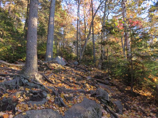
Looking up the Winslow Trail
Route: Auto road, Winslow Trail, (Mt. Kearsarge), Winslow Trail, powerline cut, auto road
The NH parks web site suggested the gate may be closed today, so I parked below it and jogged the road, but alas it was still open tonight (the toll booth is boarded up for the winter).
Trail was snow free, but had some avoidable patches of black ice (not enough to warrant light traction). A few isolated patches of a dusting of snow.
| Hike Ratings |
|
Getting To Trailhead: |
Moderate |
| Destination: |
Mt. Kearsarge |
|
Length: |
Moderate |
|
Steepness: |
Difficult |
|
Navigation: |
Moderate |
|
Views: |
Excellent |
|
Crowds: |
Minimal |
|
| Hike Stats |
|
Date Hiked: |
Monday, October 19, 2015 |
| Parking Elevation: |
1,400' |
| Time to Trailhead: |
00:12 |
| Destination: |
Mt. Kearsarge |
| Time Elapsed: |
00:24 |
| Trailhead Elevation: |
1,850' |
| Summit Elevation: |
2,937' |
| Distance: |
1.1 miles |
| Vertical Gain: |
1,095' |
|
|
| Hike Time Elapsed: |
01:28 |
| Hike Vertical Gain: |
1,555' |
|
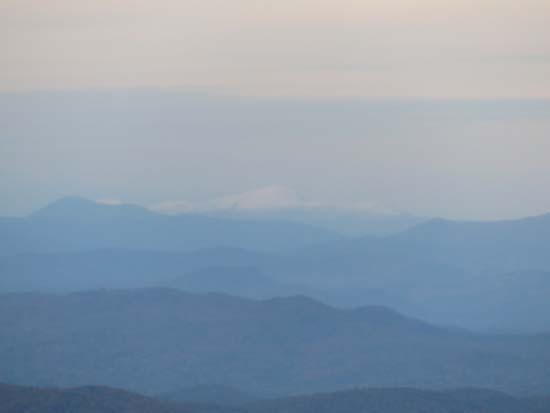
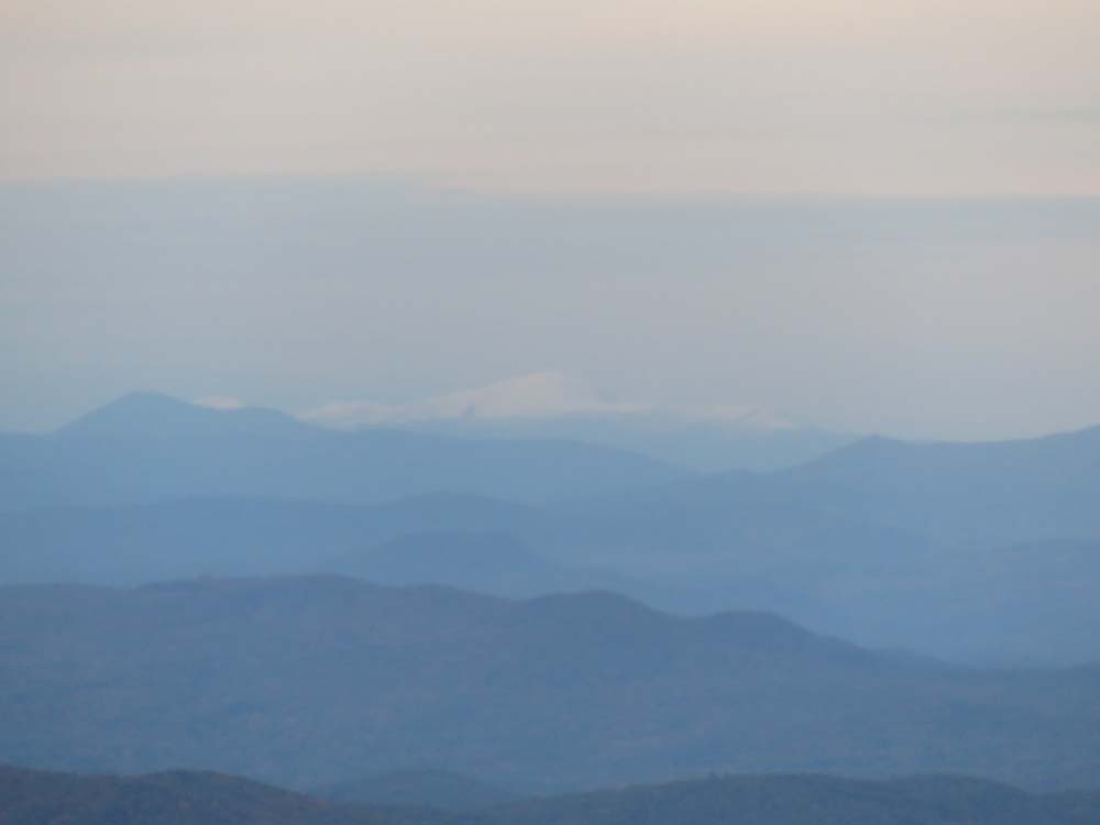
Looking at Mt. Washington from Mt. Kearsarge
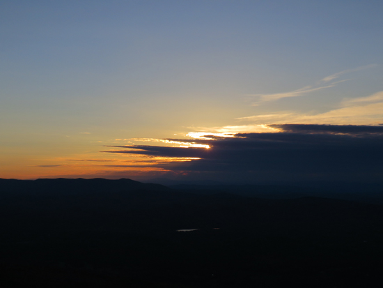
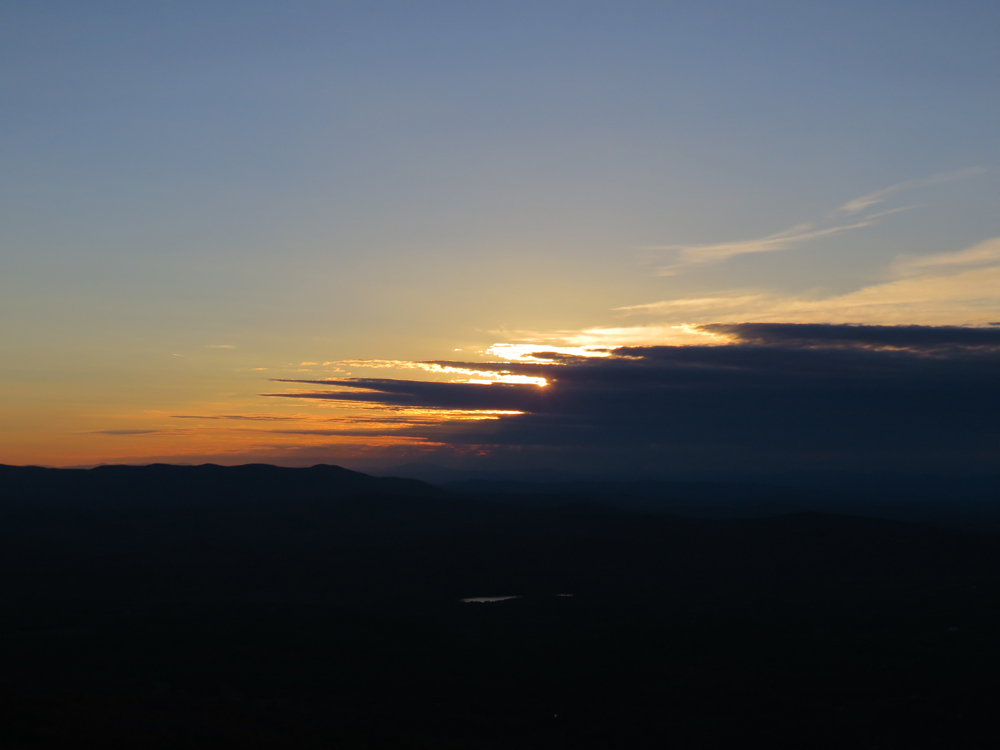
The sunset as seen from Mt. Kearsarge
Directions to trailhead: Take Route 11 West from US 4 to Wilmot Flat, then take a left onto Old Winslow Road. At the end of this road, take a left onto Kearsarge Mountain Road. In winter, there is room for a few vehicles to park near the gate of the auto road at the height of land (Twist Hill Road continues downhill). The Winslow Trail trailhead is at the top of the gated (off season) auto road.
Back to Mt. Kearsarge Profile
|