Home
States
Colorado
Connecticut
Maine
Massachusetts
New Hampshire
New York
Rhode Island
Utah
Vermont
View All
Lists
NE 4,000 Footers
NE 100 Highest
NH 4,000 Footers
NH 100 Highest
NH 52 With A View
NH Belknap Range
NH Ossipee 10
Links
Trail Conditions
Trip Log
Sunrises
Sunsets
About
|
Mt. Mack, Mt. Klem
Gilmanton, NH, Gilford, NH
Trailheads, measurements, times, distances, and maps are all approximate and relative to the hike(s) as shown below.
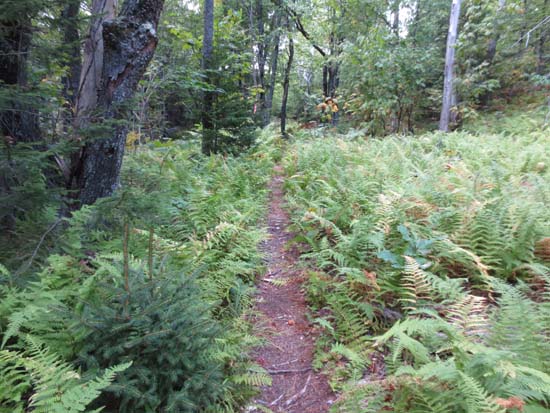
The Red Trail on the way to Mt. Klem
Route: Red/Blue Trail, Round Pond Road, Red Trail, bushwack, (Mt. Klem), bushwhack, Red Trail, (Mt. Mack), Red Trail, Round Pond Road, Red/Blue Trail
Essentially a road walk most of the way to Round Pond - dry, a little bit sandy. Loop over the peaks was also generally dry. Herd path to Mt. Klem highpoint is fairly prominent.
Very nice loop...much different feel as compared to the popular parts of the Belknaps.
| Hike Ratings |
|
Getting To Trailhead: |
Easy |
| Destination: |
Mt. Klem |
|
Length: |
Moderate |
|
Steepness: |
Moderate |
|
Navigation: |
Moderate |
|
Views: |
Excellent |
|
Crowds: |
Minimal |
| Destination: |
Mt. Mack |
|
Length: |
Moderate |
|
Steepness: |
Difficult |
|
Navigation: |
Easy |
|
Views: |
Excellent |
|
Crowds: |
Minimal |
|
| Hike Stats |
|
Date Hiked: |
Friday, August 31, 2012 |
| Parking Elevation: |
740' |
| Destination: |
Mt. Klem |
| Time Elapsed: |
01:36 |
| Trailhead Elevation: |
740' |
| Summit Elevation: |
2,001' |
| Vertical Gain: |
1,331' |
| Destination: |
Mt. Mack |
| Time Elapsed: |
00:24 |
| Trailhead Elevation: |
2,001' |
| Summit Elevation: |
1,945' |
| Vertical Gain: |
216' |
|
|
| Hike Time Elapsed: |
03:07 |
| Hike Vertical Gain: |
1,587' |
|
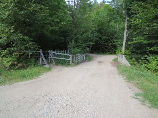
The Red-Blue Trail trailhead at Camp Bell
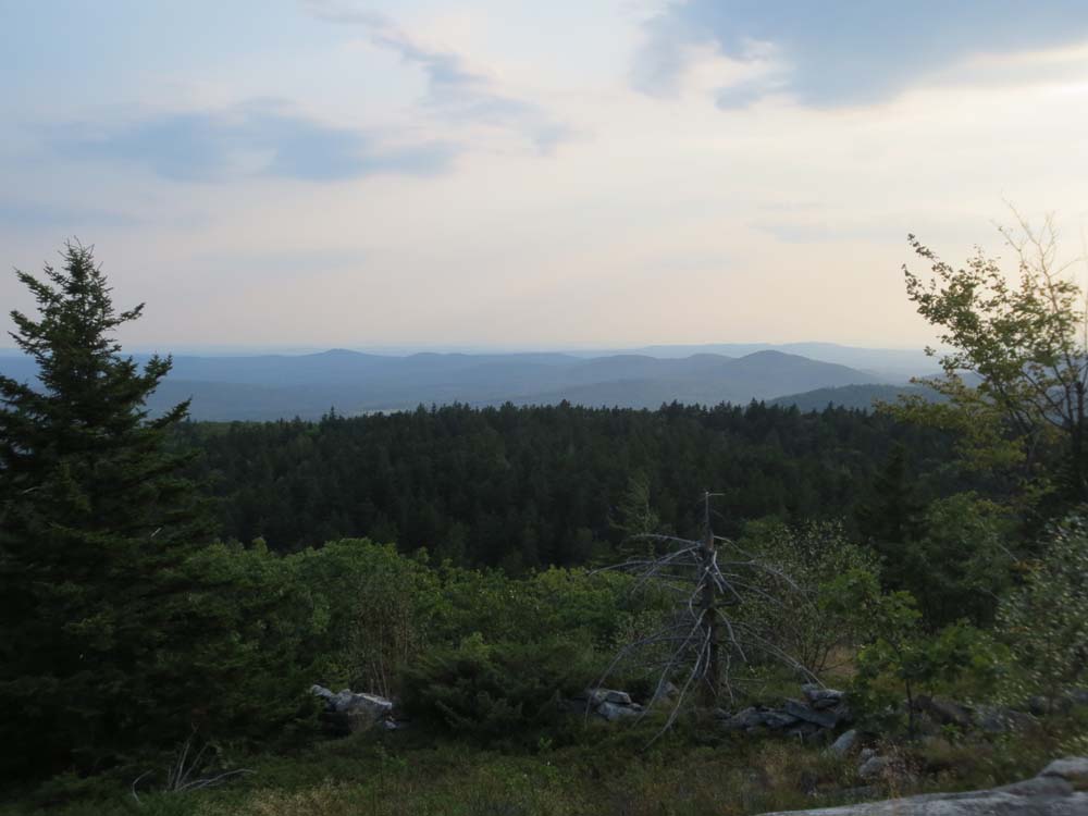
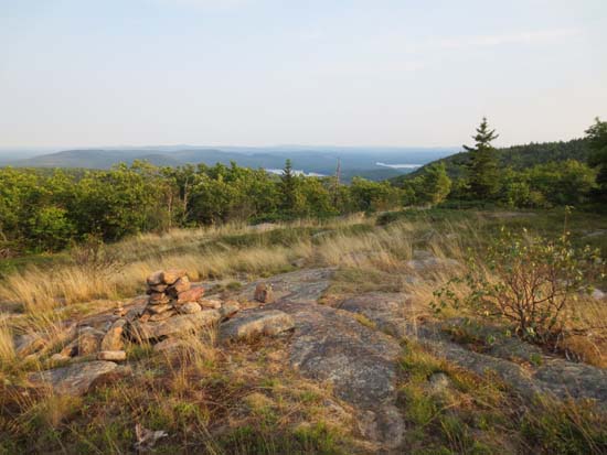
The Ossipees as seen from the Mt. Klem vista
Looking up the trail between Mt. Mack and Mt. Klem
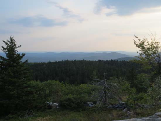
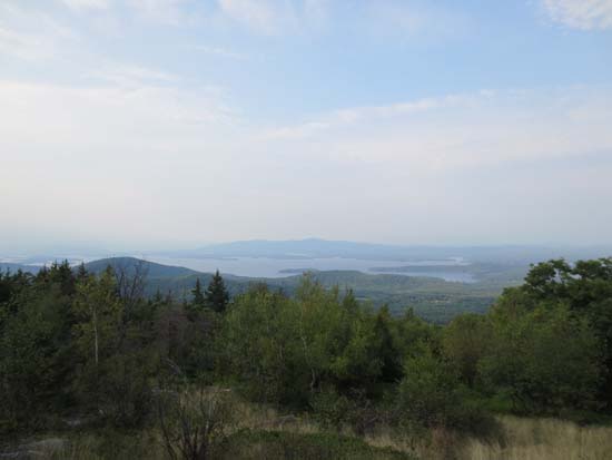
Looking southwest from near the summit of Mt. Mack
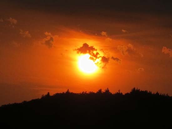
Early stages of the sunset from the Round Pond road
Directions to trailhead: From Route 107, take Route 140 east into Gilmanton. Take a left onto Crystal Lake Road, bearing left to stay on it (when Mountain Road goes straight). After passing Crystal Lake, the road turns into Guinea Ridge Road. Take a right next to some cabins onto Manning Lake Road (this is inaccurately labelled as Camp Leo Road and Moulton Road on some maps...the current road sign says Manning Lake Road). There is a small parking area on the left just before reaching the area with the camp buildings. The Red-Blue Trail starts at the bridge just beyond the main building, in the form of a dirt road.
Back to Mt. Klem Profile
Back to Mt. Mack Profile
|