Home
States
Colorado
Connecticut
Maine
Massachusetts
New Hampshire
New York
Rhode Island
Utah
Vermont
View All
Lists
NE 4,000 Footers
NE 100 Highest
NH 4,000 Footers
NH 100 Highest
NH 52 With A View
NH Belknap Range
NH Ossipee 10
Links
Trail Conditions
Trip Log
Sunrises
Sunsets
About
|
Mt. Klem, Mt. Mack
Gilford, NH
Trailheads, measurements, times, distances, and maps are all approximate and relative to the hike(s) as shown below.
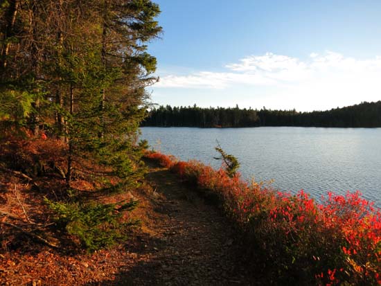
The shore of Round Pond on the way to Mt. Klem
Route: Fire Road, Round Pond Trail, Round Pond-Piper Link, Red Trail, Red-Orange Trail, Orange Trail
With the exception of a short stretch of the Orange Trail below Mt. Mack, the trails were mostly dry and in good shape. Lots of leaves concealing rocks etc. Still some late fall foliage up in the trees. Orange Trail (north of Red-Orange Trail, heading to Round Pond) had some areas of standing water and is unappealing at this time due to logging.
State may also be logging in the vicinity of Fire Road-Round Pond Trail starting this week, but I didn't see any evidence of it this evening.
| Hike Ratings |
|
Getting To Trailhead: |
Easy |
| Destination: |
Mt. Klem |
|
Length: |
Moderate |
|
Steepness: |
Moderate |
|
Navigation: |
Easy |
|
Views: |
Excellent |
|
Crowds: |
Minimal |
| Destination: |
Mt. Mack |
|
Length: |
Moderate |
|
Steepness: |
Difficult |
|
Navigation: |
Easy |
|
Views: |
Excellent |
|
Crowds: |
Minimal |
|
| Hike Stats |
|
Date Hiked: |
Monday, October 27, 2014 |
| Parking Elevation: |
1,100' |
| Destination: |
Mt. Klem |
| Trailhead Elevation: |
1,100' |
| Summit Elevation: |
2,001' |
| Time Elapsed: |
00:48 |
| Vertical Gain: |
1,061' |
| Destination: |
Mt. Mack |
| Trailhead Elevation: |
2,001' |
| Summit Elevation: |
1,945' |
| Time Elapsed: |
00:13 |
| Vertical Gain: |
216' |
|
|
| Hike Time Elapsed: |
02:05 |
| Hike Vertical Gain: |
1,427' |
|
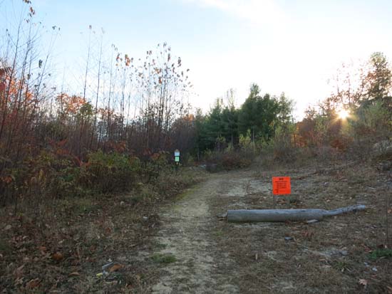
The East Gilford-Fire Road trailhead at the end of Wood Road

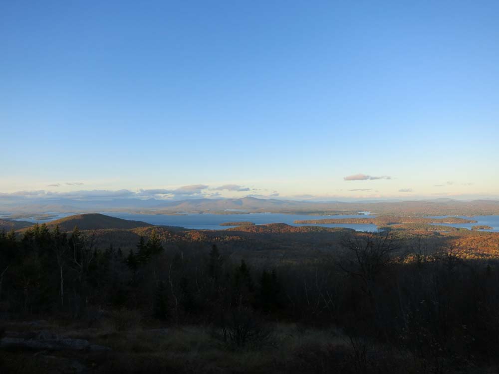
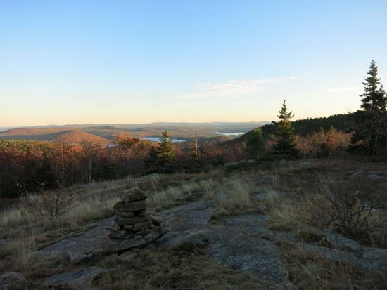
Looking at the Ossipees from near the Mt. Klem summit
Looking up the Round Pond Trail
Descending Mt. Klem on the way to Mt. Mack

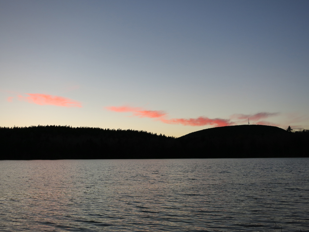
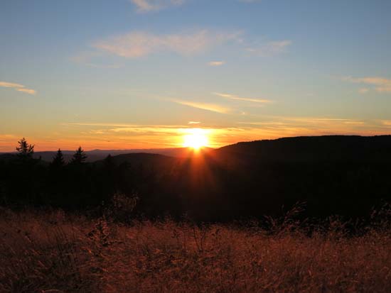
Post sunset colors over Round Pond
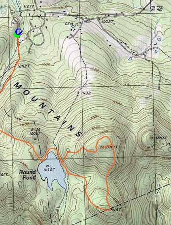

Directions to trailhead: From Route 11A East past Gunstock, then take a right onto Bickford Road, then take a left onto Wood Road, soon bearing left to go uphill around the last house. The Fire Road-East Gilford Trail trailhead will be at the back of the 5 car parking lot at the end of the road.
Back to Mt. Klem Profile
Back to Mt. Mack Profile
|